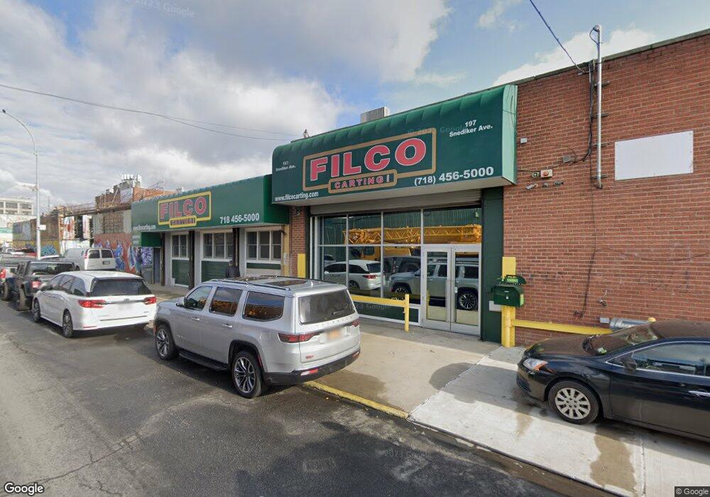
197 Snediker Ave Brooklyn, NY 11207
Brownsville NeighborhoodEstimated Value: $397,766
--
Bed
--
Bath
6,000
Sq Ft
$66/Sq Ft
Est. Value
About This Home
This home is located at 197 Snediker Ave, Brooklyn, NY 11207 and is currently estimated at $397,766, approximately $66 per square foot. 197 Snediker Ave is a home located in Kings County with nearby schools including J.H.S 292 Margaret S. Douglas, Hyde Leadership Charter School-Brooklyn, and Brownsville Collegiate Charter School.
Ownership History
Date
Name
Owned For
Owner Type
Purchase Details
Closed on
May 24, 1996
Sold by
Rose Robert M
Bought by
Gonzalez Ana
Current Estimated Value
Home Financials for this Owner
Home Financials are based on the most recent Mortgage that was taken out on this home.
Original Mortgage
$215,000
Interest Rate
10%
Mortgage Type
Seller Take Back
Purchase Details
Closed on
Mar 7, 1996
Sold by
Santangelo Geraldine
Bought by
Rose Robert M
Create a Home Valuation Report for This Property
The Home Valuation Report is an in-depth analysis detailing your home's value as well as a comparison with similar homes in the area
Home Values in the Area
Average Home Value in this Area
Purchase History
| Date | Buyer | Sale Price | Title Company |
|---|---|---|---|
| Gonzalez Ana | $400,000 | Commonwealth Land Title Ins | |
| Gonzalez Ana | $400,000 | Commonwealth Land Title Ins | |
| Rose Robert M | $100,000 | -- | |
| Rose Robert M | $100,000 | -- |
Source: Public Records
Mortgage History
| Date | Status | Borrower | Loan Amount |
|---|---|---|---|
| Previous Owner | Gonzalez Ana | $215,000 |
Source: Public Records
Tax History Compared to Growth
Tax History
| Year | Tax Paid | Tax Assessment Tax Assessment Total Assessment is a certain percentage of the fair market value that is determined by local assessors to be the total taxable value of land and additions on the property. | Land | Improvement |
|---|---|---|---|---|
| 2025 | $22,259 | $256,050 | $67,500 | $188,550 |
| 2024 | $22,259 | $223,200 | $67,500 | $155,700 |
| 2023 | $21,855 | $240,750 | $67,500 | $173,250 |
| 2022 | $20,956 | $202,500 | $67,500 | $135,000 |
| 2021 | $17,276 | $161,550 | $67,500 | $94,050 |
| 2020 | $12,957 | $198,900 | $67,500 | $131,400 |
| 2019 | $18,566 | $198,900 | $67,500 | $131,400 |
| 2018 | $17,762 | $188,550 | $67,500 | $121,050 |
| 2017 | $16,547 | $180,900 | $67,500 | $113,400 |
| 2016 | $15,908 | $165,600 | $22,950 | $142,650 |
| 2015 | $11,135 | $148,950 | $22,950 | $126,000 |
| 2014 | $11,135 | $139,050 | $22,950 | $116,100 |
Source: Public Records
Map
Nearby Homes
- 297 Hinsdale St
- 440 Blake Ave
- 105 Belmont Ave
- 101 Belmont Ave
- 45 Hinsdale St
- 1782 Pitkin Ave
- 297 Pennsylvania Ave
- 34&36 Marginal St
- 317 Pennsylvania Ave
- 637 Blake Ave
- 22 Hinsdale St
- 406 Hinsdale St
- 353 Pennsylvania Ave
- 117 Osborn St
- 663 Sutter Ave
- 444 New Jersey Ave
- 667 Sutter Ave
- 1719 E New York Ave
- 342 Wyona St
- 439 Vermont St
- 201 Snediker Ave
- 198 Hinsdale St
- 219 Snediker Ave
- 206 Hinsdale St
- 253-257 Belmont Ave
- 265 Belmont Ave
- 214 Snediker Ave
- 1930 Pitkin Ave
- 283 van Sinderen Ave
- 1946 Pitkin Ave
- 216 Snediker Ave
- 1922-1926 Pitkin Ave
- 257 van Sinderen Ave
- 218 Hinsdale St
- 1970 Pitkin Ave
- 229 Snediker Ave
- 231 Snediker Ave
- 229-239 Hinsdale St
- 1937-1939 Pitkin Ave
- 1933 Pitkin Ave