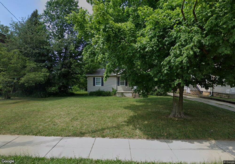
197 W Main St Alliance, OH 44601
Estimated Value: $100,000 - $122,000
2
Beds
2
Baths
1,040
Sq Ft
$106/Sq Ft
Est. Value
About This Home
This home is located at 197 W Main St, Alliance, OH 44601 and is currently estimated at $109,817, approximately $105 per square foot. 197 W Main St is a home located in Stark County with nearby schools including Alliance Early Learning School, Alliance Intermediate School at Northside, and Alliance Middle School.
Ownership History
Date
Name
Owned For
Owner Type
Purchase Details
Closed on
Apr 19, 2000
Sold by
Stovall Patricia A
Bought by
Buehler Lawrence J and Buehler Bruce J
Current Estimated Value
Purchase Details
Closed on
Apr 17, 2000
Sold by
Buehler Lawrence J and Buehler Bruce J
Bought by
Stovall Patricia Ann
Purchase Details
Closed on
Jan 27, 1999
Sold by
Buehler Lawrence J & Bruce J Truste
Bought by
Alliance Area Habitat For Humanity
Create a Home Valuation Report for This Property
The Home Valuation Report is an in-depth analysis detailing your home's value as well as a comparison with similar homes in the area
Home Values in the Area
Average Home Value in this Area
Purchase History
| Date | Buyer | Sale Price | Title Company |
|---|---|---|---|
| Buehler Lawrence J | -- | -- | |
| Stovall Patricia Ann | -- | -- | |
| Alliance Area Habitat For Humanity | $2,000 | -- |
Source: Public Records
Tax History Compared to Growth
Tax History
| Year | Tax Paid | Tax Assessment Tax Assessment Total Assessment is a certain percentage of the fair market value that is determined by local assessors to be the total taxable value of land and additions on the property. | Land | Improvement |
|---|---|---|---|---|
| 2025 | -- | $30,950 | $6,060 | $24,890 |
| 2024 | -- | $30,950 | $6,060 | $24,890 |
| 2023 | $3,028 | $23,980 | $6,020 | $17,960 |
| 2022 | $994 | $23,980 | $6,020 | $17,960 |
| 2021 | $1,196 | $23,980 | $6,020 | $17,960 |
| 2020 | $866 | $19,470 | $5,220 | $14,250 |
| 2019 | $854 | $19,470 | $5,220 | $14,250 |
| 2018 | $858 | $19,470 | $5,220 | $14,250 |
| 2017 | $685 | $15,270 | $3,540 | $11,730 |
| 2016 | $691 | $15,270 | $3,540 | $11,730 |
| 2015 | $564 | $12,360 | $3,540 | $8,820 |
| 2014 | $1,026 | $13,200 | $3,780 | $9,420 |
| 2013 | $316 | $13,200 | $3,780 | $9,420 |
Source: Public Records
Map
Nearby Homes
- 163 W Market St
- 329 1/2 W Main St
- 132 S Haines Ave
- 345 W Market St
- 511 W Ely St
- 427 S Union Ave
- 710 N Freedom Ave
- 645 W Summit St
- 140 W Summit St
- 124 E Wayne St
- 725 W Summit St
- 361 E Main St
- 356 E Broadway St
- 734 Parkway Blvd
- 807 S Union Ave
- 432 S Linden Ave
- 432 Johnson Ave
- V/L S Fredeom Ave
- 142 S Seneca Ave
- 896 Parkway Blvd