197 Winchester Dr Poplar Bluff, MO 63901
Estimated Value: $416,000 - $665,000
--
Bed
--
Bath
4,098
Sq Ft
$142/Sq Ft
Est. Value
About This Home
This home is located at 197 Winchester Dr, Poplar Bluff, MO 63901 and is currently estimated at $582,781, approximately $142 per square foot. 197 Winchester Dr is a home with nearby schools including Oak Grove Elementary School, Poplar Bluff Fifth & Sixth Grade Center, and Poplar Bluff Junior High School.
Ownership History
Date
Name
Owned For
Owner Type
Purchase Details
Closed on
Oct 29, 2014
Sold by
Price Sam and Price Debra
Bought by
King Parker and King Karen
Current Estimated Value
Home Financials for this Owner
Home Financials are based on the most recent Mortgage that was taken out on this home.
Original Mortgage
$31,935
Outstanding Balance
$24,687
Interest Rate
4.25%
Mortgage Type
Future Advance Clause Open End Mortgage
Estimated Equity
$558,094
Purchase Details
Closed on
Jul 5, 2012
Sold by
Remington Oaks Development L L C
Bought by
Price Sam and Price Debra
Create a Home Valuation Report for This Property
The Home Valuation Report is an in-depth analysis detailing your home's value as well as a comparison with similar homes in the area
Home Values in the Area
Average Home Value in this Area
Purchase History
| Date | Buyer | Sale Price | Title Company |
|---|---|---|---|
| King Parker | -- | Heritage Title Company | |
| Price Sam | -- | None Available |
Source: Public Records
Mortgage History
| Date | Status | Borrower | Loan Amount |
|---|---|---|---|
| Open | King Parker | $31,935 |
Source: Public Records
Tax History Compared to Growth
Tax History
| Year | Tax Paid | Tax Assessment Tax Assessment Total Assessment is a certain percentage of the fair market value that is determined by local assessors to be the total taxable value of land and additions on the property. | Land | Improvement |
|---|---|---|---|---|
| 2024 | $38 | $86,030 | $0 | $0 |
| 2023 | $3,831 | $86,030 | $0 | $0 |
| 2022 | $3,703 | $83,320 | $0 | $0 |
| 2021 | $3,705 | $83,320 | $0 | $0 |
| 2020 | $3,238 | $71,700 | $0 | $0 |
| 2019 | $3,038 | $71,700 | $0 | $0 |
| 2018 | $3,038 | $9,120 | $0 | $0 |
| 2017 | -- | $9,120 | $0 | $0 |
| 2016 | -- | $9,120 | $0 | $0 |
| 2015 | -- | $9,120 | $0 | $0 |
| 2014 | -- | $9,120 | $0 | $0 |
| 2012 | -- | $7,890 | $0 | $0 |
Source: Public Records
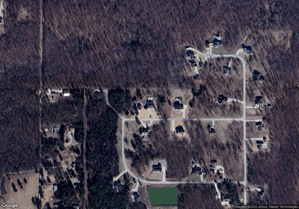
Map
Nearby Homes
- 0 County Road 421
- 858 County Road 420
- 0 Brownwood Trails #18 Unit MIS25061746
- 3221 Scarlet Dr
- 6708 Brown Ln
- 16 Boulder Trail
- 0 Boulder Trail
- 607 County Road 423
- 4 Woodland Heights W
- 9 Woodland Heights W
- 14 Woodland Heights W
- 6 Woodland Heights W
- 5 Woodland Heights W
- 3 Woodland Heights W
- 13 Woodland Heights W
- 10 Woodland Heights W
- 16 Woodland Heights W
- 11 Woodland Heights W
- 15 Woodland Heights W
- 2 Woodland Heights W
- 0 Winchester Dr
- 188 Winchester Dr
- 187 Winchester Dr
- 12 Winchester Dr
- 198 Winchester Dr
- 106 Winchester Dr
- 201 Benelli Ln
- 319 Remington Place
- 472 Remington Place
- 0 Remington Place
- 0 Benelli Ln
- 166 Remington Place
- 264 Remington Place
- 334 Benelli Ln
- 430 Remington Place
- 160 Remington Place
- 269 Remington Place
- 19 County Road 4222
- 16 County Road 4222
- 0 County Road 422