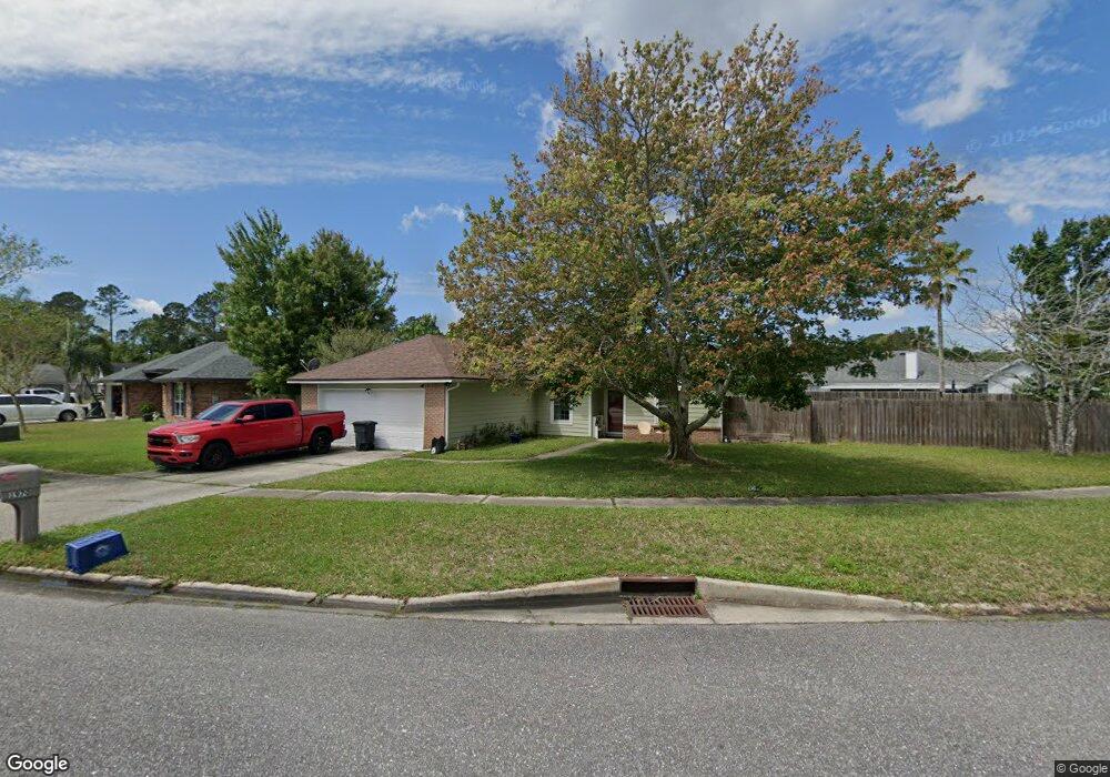
1970 Breckenridge Blvd Middleburg, FL 32068
Estimated Value: $318,000 - $357,743
4
Beds
2
Baths
1,618
Sq Ft
$212/Sq Ft
Est. Value
About This Home
This home is located at 1970 Breckenridge Blvd, Middleburg, FL 32068 and is currently estimated at $343,436, approximately $212 per square foot. 1970 Breckenridge Blvd is a home located in Clay County with nearby schools including Swimming Pen Creek Elementary School, Fleming Island High School, and Lakeside Junior High School.
Ownership History
Date
Name
Owned For
Owner Type
Purchase Details
Closed on
Dec 31, 2010
Sold by
Walker Charles A and Walker Leisa M
Bought by
Gillis Michael L and Gillis Gretta N
Current Estimated Value
Home Financials for this Owner
Home Financials are based on the most recent Mortgage that was taken out on this home.
Original Mortgage
$63,000
Interest Rate
4.74%
Mortgage Type
Purchase Money Mortgage
Purchase Details
Closed on
May 28, 2004
Sold by
Gregory David C and Gregory Jenny J
Bought by
Walker Charles A and Walker Leisa M
Home Financials for this Owner
Home Financials are based on the most recent Mortgage that was taken out on this home.
Original Mortgage
$127,550
Interest Rate
5.89%
Mortgage Type
Purchase Money Mortgage
Create a Home Valuation Report for This Property
The Home Valuation Report is an in-depth analysis detailing your home's value as well as a comparison with similar homes in the area
Home Values in the Area
Average Home Value in this Area
Purchase History
| Date | Buyer | Sale Price | Title Company |
|---|---|---|---|
| Gillis Michael L | $84,000 | Realty Title Inc | |
| Walker Charles A | $140,000 | -- |
Source: Public Records
Mortgage History
| Date | Status | Borrower | Loan Amount |
|---|---|---|---|
| Previous Owner | Gillis Michael L | $63,000 | |
| Previous Owner | Walker Charles A | $127,550 |
Source: Public Records
Tax History Compared to Growth
Tax History
| Year | Tax Paid | Tax Assessment Tax Assessment Total Assessment is a certain percentage of the fair market value that is determined by local assessors to be the total taxable value of land and additions on the property. | Land | Improvement |
|---|---|---|---|---|
| 2024 | $1,960 | $151,626 | -- | -- |
| 2023 | $1,960 | $147,210 | $0 | $0 |
| 2022 | $1,785 | $142,923 | $0 | $0 |
| 2021 | $1,777 | $138,761 | $0 | $0 |
| 2020 | $1,546 | $125,406 | $0 | $0 |
| 2019 | $1,506 | $121,672 | $0 | $0 |
| 2018 | $1,375 | $119,403 | $0 | $0 |
| 2017 | $1,364 | $116,947 | $0 | $0 |
| 2016 | $1,358 | $114,542 | $0 | $0 |
| 2015 | $1,399 | $113,746 | $0 | $0 |
| 2014 | $1,395 | $114,907 | $0 | $0 |
Source: Public Records
Map
Nearby Homes
- 2500 Ambrosia Dr
- 1946 Apopka Dr
- 2746 Archer St
- 1784 Hollow Glen Dr
- 1709 Ashwood Cir
- 1990 Eclipse Dr
- 2624 Sharpsburg Ct
- 2058 Manucy Ct
- 2891 Woodstone Dr
- 2742 Woodsdale Dr
- 2136 Creekmont Dr
- 2631 Five Forks Ct
- 2084 Tickford St
- 2070 Tickford St
- 1617 Morningside Dr
- 2645 Hastate Ct
- 2555 Quail Roost Rd
- 3001 Nautilus Rd
- 1935 Saint George Ct
- 1936 Moorings Cir
- 2821 Limestone Ct
- 2823 Limestone Ct
- 1980 Breckenridge Blvd
- 2825 Limestone Ct
- 1977 Breckenridge Blvd
- 1975 Breckenridge Blvd
- 1967 Breckenridge Blvd
- 1969 Breckenridge Blvd
- 1979 Breckenridge Blvd
- 2827 Limestone Ct
- 1965 Breckenridge Blvd
- 1981 Breckenridge Blvd
- 1982 Breckenridge Blvd
- 1973 Breckenridge Blvd
- 1971 Breckenridge Blvd
- 1963 Breckenridge Blvd
- 2820 Limestone Ct
- 2829 Limestone Ct
- 2512 Ambrosia Dr
- 2516 Ambrosia Dr