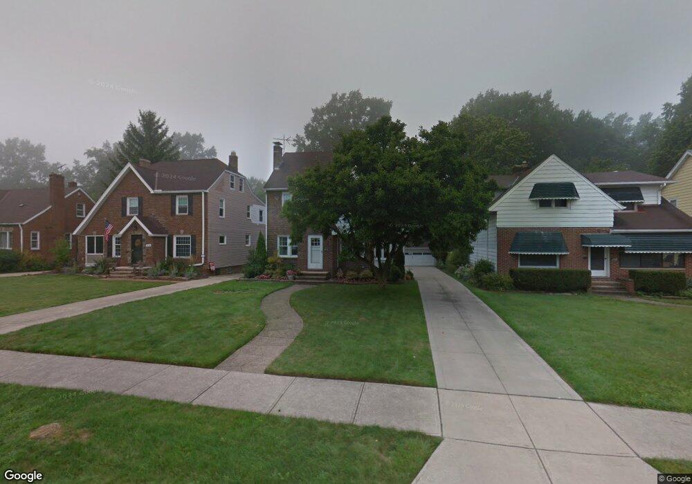
1970 E 221st St Euclid, OH 44117
Estimated Value: $156,000 - $193,000
3
Beds
1
Bath
1,503
Sq Ft
$118/Sq Ft
Est. Value
About This Home
This home is located at 1970 E 221st St, Euclid, OH 44117 and is currently estimated at $177,541, approximately $118 per square foot. 1970 E 221st St is a home located in Cuyahoga County with nearby schools including Thomas Jefferson Elementary School, Euclid Middle School, and Euclid High School.
Ownership History
Date
Name
Owned For
Owner Type
Purchase Details
Closed on
Jun 4, 2019
Sold by
Mastrangelo Pauline M
Bought by
Mastrangelo Pauline and Udt Dtd
Current Estimated Value
Purchase Details
Closed on
Apr 2, 1985
Sold by
Mastrangelo Del A and Mastrangelo Pauline
Bought by
Mastrangelo Del A
Purchase Details
Closed on
Jan 1, 1975
Bought by
Mastrangelo Del A and Mastrangelo Pauline
Create a Home Valuation Report for This Property
The Home Valuation Report is an in-depth analysis detailing your home's value as well as a comparison with similar homes in the area
Home Values in the Area
Average Home Value in this Area
Purchase History
| Date | Buyer | Sale Price | Title Company |
|---|---|---|---|
| Mastrangelo Pauline | -- | None Available | |
| Mastrangelo Del A | -- | -- | |
| Mastrangelo Del A | -- | -- |
Source: Public Records
Tax History
| Year | Tax Paid | Tax Assessment Tax Assessment Total Assessment is a certain percentage of the fair market value that is determined by local assessors to be the total taxable value of land and additions on the property. | Land | Improvement |
|---|---|---|---|---|
| 2024 | $2,921 | $53,060 | $10,430 | $42,630 |
| 2023 | $2,207 | $35,010 | $8,160 | $26,850 |
| 2022 | $2,189 | $35,000 | $8,160 | $26,850 |
| 2021 | $2,440 | $35,000 | $8,160 | $26,850 |
| 2020 | $2,195 | $30,170 | $7,040 | $23,140 |
| 2019 | $1,989 | $86,200 | $20,100 | $66,100 |
| 2018 | $2,009 | $30,170 | $7,040 | $23,140 |
| 2017 | $2,166 | $28,080 | $5,640 | $22,440 |
| 2016 | $2,171 | $28,080 | $5,640 | $22,440 |
| 2015 | $2,023 | $28,080 | $5,640 | $22,440 |
| 2014 | $2,023 | $28,080 | $5,640 | $22,440 |
Source: Public Records
Map
Nearby Homes
- 22580 Chardon Rd
- 21950 Euclid Ave
- 1545 E 214th St
- 1554 E 221st St
- 22601 Harms Rd
- 22791 Harms Rd
- 1754 E 236th St
- 1765 E 238th St
- 1524 E 204th St
- 24 Washington Square
- 1721 Grand Blvd
- 24105 Chardon Rd
- 363 Balmoral Dr
- 209 Greenbriar Ct
- 19210 Firwood Rd
- 19871 Upper Valley Dr
- 24801 Highland Rd
- 19201 Shawnee Rd
- 19201 Genesee Rd
- 1620 E 243rd St
- 1974 E 221st St
- 1964 E 221st St
- 1976 E 221st St
- 1960 E 221st St
- 1980 E 221st St
- 1984 E 221st St
- 1971 E 221st St
- 22050 Chardon Rd
- 22030 Chardon Rd
- 1975 E 221st St
- 1977 E 221st St
- 22150 Chardon Rd
- 1990 E 221st St
- 1981 E 221st St
- 22180 Chardon Rd
- 1985 E 221st St
- 1994 E 221st St
- 1994 E 221st St
- 1994 E 221st St Unit E
- 22200 Chardon Rd
Your Personal Tour Guide
Ask me questions while you tour the home.