Estimated Value: $223,942
3
Beds
2
Baths
1,780
Sq Ft
$126/Sq Ft
Est. Value
About This Home
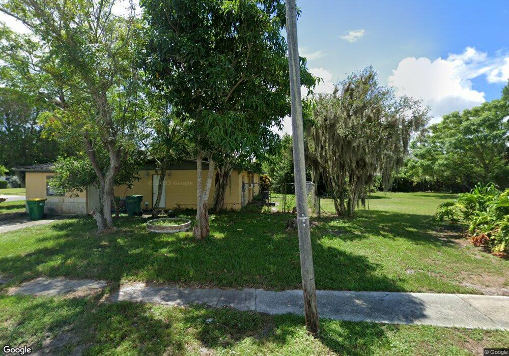
This home is located at 1970 Furman Ct, Cocoa, FL 32922 and is currently estimated at $223,942, approximately $125 per square foot. 1970 Furman Ct is a home located in Brevard County with nearby schools including Cambridge Elementary Magnet School, Cocoa High School, and Emma Jewel Charter Academy.
Ownership History
Date
Name
Owned For
Owner Type
Purchase Details
Closed on
Jan 30, 2018
Sold by
Ina Group Llc
Bought by
City Of Cocoa Florida
Current Estimated Value
Purchase Details
Closed on
Dec 15, 2016
Sold by
Kent Thomas and Bickles Tonya
Bought by
Ina Group Llc
Purchase Details
Closed on
Sep 29, 2000
Sold by
Pappineau Lisa L and Ecker Janet L
Bought by
Kent Thomas and Bickles Tonya
Home Financials for this Owner
Home Financials are based on the most recent Mortgage that was taken out on this home.
Original Mortgage
$57,000
Interest Rate
7.91%
Mortgage Type
Purchase Money Mortgage
Create a Home Valuation Report for This Property
The Home Valuation Report is an in-depth analysis detailing your home's value as well as a comparison with similar homes in the area
Home Values in the Area
Average Home Value in this Area
Purchase History
| Date | Buyer | Sale Price | Title Company |
|---|---|---|---|
| City Of Cocoa Florida | -- | None Available | |
| Ina Group Llc | $8,747 | None Available | |
| Kent Thomas | $57,000 | -- |
Source: Public Records
Mortgage History
| Date | Status | Borrower | Loan Amount |
|---|---|---|---|
| Previous Owner | Kent Thomas | $57,000 |
Source: Public Records
Tax History
| Year | Tax Paid | Tax Assessment Tax Assessment Total Assessment is a certain percentage of the fair market value that is determined by local assessors to be the total taxable value of land and additions on the property. | Land | Improvement |
|---|---|---|---|---|
| 2025 | -- | $30,000 | -- | -- |
| 2024 | -- | $22,500 | -- | -- |
| 2023 | $0 | $20,000 | $20,000 | $0 |
| 2022 | $0 | $20,000 | $0 | $0 |
| 2021 | $0 | $18,000 | $18,000 | $0 |
| 2020 | $0 | $18,000 | $18,000 | $0 |
| 2019 | $0 | $18,000 | $18,000 | $0 |
| 2018 | $430 | $18,750 | $18,750 | $0 |
| 2017 | $380 | $3,187 | $0 | $0 |
| 2016 | $292 | $8,100 | $8,100 | $0 |
| 2015 | $292 | $8,100 | $8,100 | $0 |
| 2014 | $248 | $8,000 | $8,000 | $0 |
Source: Public Records
Map
Nearby Homes
- 1326 Stetson Ct
- 2029 Ivy Dr
- 1354 S Stetson Dr
- 1810 Dixon Blvd
- 1417 Walter St
- 0 University Ln
- Xxx Rosetine St
- 1644 Ruth St
- 1531 Paradise Ln
- 1523 Clearlake Ct
- 0000 Null Unknown
- 1523 Furnari St
- 1515 Furnari St
- 2319 Elon Dr
- 0000 N Range Rd
- 703 Venus Dr
- 2515 Fairfield Dr
- 914 Clearlake Rd Unit 211B
- 914 Clearlake Rd Unit 115B
- 914 Clearlake Rd Unit 208C
- 1966 Furman Ct
- 1423 College Ave
- 1906 Furman Ct
- 1910 Furman Ct
- 1409 College Ave
- 1962 Furman Ct
- 1971 Furman Ct
- 1967 Furman Ct
- 1975 Furman Ct
- 1914 Furman Ct
- 1420 College Ave
- 1963 Furman Ct
- 1958 Furman Ct
- 1416 College Ave
- 1424 College Ave
- 1918 Furman Ct
- 1412 College Ave
- 1959 Furman Ct
- 1905 Furman Ct
- 1909 Furman Ct
Your Personal Tour Guide
Ask me questions while you tour the home.