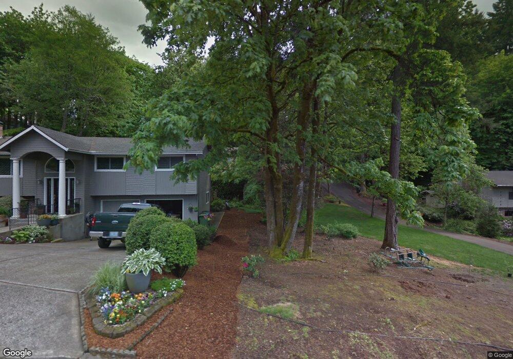
1970 Greentree Rd Lake Oswego, OR 97034
Palisades NeighborhoodEstimated Value: $1,056,000 - $1,112,000
4
Beds
3
Baths
2,428
Sq Ft
$444/Sq Ft
Est. Value
About This Home
This home is located at 1970 Greentree Rd, Lake Oswego, OR 97034 and is currently estimated at $1,076,920, approximately $443 per square foot. 1970 Greentree Rd is a home located in Clackamas County with nearby schools including Hallinan Elementary School, Lakeridge Middle School, and Lakeridge High School.
Ownership History
Date
Name
Owned For
Owner Type
Purchase Details
Closed on
Jun 7, 2011
Sold by
Rutherford Nelson E and Rutherford Linda B
Bought by
Hargrove Lindsey M and Hargrove Stuart C
Current Estimated Value
Home Financials for this Owner
Home Financials are based on the most recent Mortgage that was taken out on this home.
Original Mortgage
$300,000
Outstanding Balance
$17,377
Interest Rate
3.9%
Mortgage Type
New Conventional
Estimated Equity
$1,059,543
Purchase Details
Closed on
Nov 15, 2001
Sold by
Havens Richard D and Havens Elise J
Bought by
Rutherford Nelson E and Rutherford Linda B
Home Financials for this Owner
Home Financials are based on the most recent Mortgage that was taken out on this home.
Original Mortgage
$150,000
Interest Rate
6.62%
Create a Home Valuation Report for This Property
The Home Valuation Report is an in-depth analysis detailing your home's value as well as a comparison with similar homes in the area
Home Values in the Area
Average Home Value in this Area
Purchase History
| Date | Buyer | Sale Price | Title Company |
|---|---|---|---|
| Hargrove Lindsey M | $375,000 | Lawyers Title | |
| Rutherford Nelson E | $185,000 | Chicago Title Insurance Co |
Source: Public Records
Mortgage History
| Date | Status | Borrower | Loan Amount |
|---|---|---|---|
| Open | Hargrove Lindsey M | $300,000 | |
| Previous Owner | Rutherford Nelson E | $150,000 |
Source: Public Records
Tax History Compared to Growth
Tax History
| Year | Tax Paid | Tax Assessment Tax Assessment Total Assessment is a certain percentage of the fair market value that is determined by local assessors to be the total taxable value of land and additions on the property. | Land | Improvement |
|---|---|---|---|---|
| 2025 | $8,823 | $459,451 | -- | -- |
| 2024 | $8,588 | $446,069 | -- | -- |
| 2023 | $8,588 | $433,077 | $0 | $0 |
| 2022 | $8,088 | $420,464 | $0 | $0 |
| 2021 | $7,471 | $408,218 | $0 | $0 |
| 2020 | $7,283 | $396,329 | $0 | $0 |
| 2019 | $7,104 | $384,786 | $0 | $0 |
| 2018 | $6,756 | $373,579 | $0 | $0 |
| 2017 | $5,885 | $327,427 | $0 | $0 |
| 2016 | $5,357 | $317,890 | $0 | $0 |
| 2015 | $5,176 | $308,631 | $0 | $0 |
| 2014 | $5,109 | $299,642 | $0 | $0 |
Source: Public Records
Map
Nearby Homes
- 1951 Greentree Rd
- 1931 Park Forest Ct
- 1847 Woodland Terrace
- 2255 Glen Haven Rd
- 0 S Shore Blvd
- 16878 Canyon Dr
- 1467 Greentree Cir
- 2627 Park Rd
- 2306 Mayors Ln
- 1410 Woodland Terrace
- 17958 Saint Clair Dr
- 17360 Alpine Way
- 1300 Tyndall Ct
- 731 Clara Ct
- 17901 Hillside Dr
- 1224 Tyndall Ct
- 17035 Westview Dr
- 1093 Tyndall Ct
- 1015 Southshore Blvd
- 1520 Cherry Crest Ave
- 1907 Mapleleaf Ct
- 1950 Greentree Rd
- 17151 Campus Way
- 17125 Campus Way
- 1900 Greentree Rd
- 1990 Greentree Rd
- 1919 Mapleleaf Ct
- 1901 Mapleleaf Ct
- 2000 Greentree Rd
- 1864 Campus
- 17101 Campus Way
- 1864 Campus Way
- 1875 Mapleleaf Rd
- 1921 Mapleleaf Ct
- 1923 Mapleleaf Ct
- 2010 Greentree Rd
- 2010 Greentree Rd Nw Carp
- 1991 Greentree Rd
- 1865 Mapleleaf Rd
- 1895 Greentree Rd