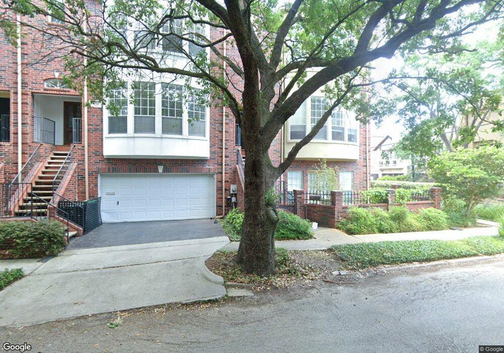
1970 Indiana St Houston, TX 77019
Montrose NeighborhoodEstimated Value: $556,871 - $657,000
3
Beds
4
Baths
2,468
Sq Ft
$246/Sq Ft
Est. Value
About This Home
This home is located at 1970 Indiana St, Houston, TX 77019 and is currently estimated at $605,968, approximately $245 per square foot. 1970 Indiana St is a home located in Harris County with nearby schools including Baker Montessori, Lanier Middle School, and Lamar High School.
Ownership History
Date
Name
Owned For
Owner Type
Purchase Details
Closed on
Mar 1, 1999
Sold by
Sturm Fletcher J and Sturm Toni M
Bought by
Davis Susan L
Current Estimated Value
Purchase Details
Closed on
Aug 18, 1994
Sold by
Jewels Custom Home Builders Inc
Bought by
Sturm Fletcher J and Sturm Toni M
Home Financials for this Owner
Home Financials are based on the most recent Mortgage that was taken out on this home.
Original Mortgage
$203,000
Interest Rate
8.69%
Create a Home Valuation Report for This Property
The Home Valuation Report is an in-depth analysis detailing your home's value as well as a comparison with similar homes in the area
Home Values in the Area
Average Home Value in this Area
Purchase History
| Date | Buyer | Sale Price | Title Company |
|---|---|---|---|
| Davis Susan L | -- | -- | |
| Sturm Fletcher J | -- | Statewide Title | |
| Sturm Fletcher J | -- | Statewide Title |
Source: Public Records
Mortgage History
| Date | Status | Borrower | Loan Amount |
|---|---|---|---|
| Previous Owner | Sturm Fletcher J | $203,000 |
Source: Public Records
Tax History Compared to Growth
Tax History
| Year | Tax Paid | Tax Assessment Tax Assessment Total Assessment is a certain percentage of the fair market value that is determined by local assessors to be the total taxable value of land and additions on the property. | Land | Improvement |
|---|---|---|---|---|
| 2025 | $2,197 | $496,782 | $208,010 | $288,772 |
| 2024 | $2,197 | $510,952 | $208,010 | $302,942 |
| 2023 | $2,197 | $478,000 | $208,010 | $269,990 |
| 2022 | $10,019 | $455,010 | $208,010 | $247,000 |
| 2021 | $10,740 | $460,800 | $198,555 | $262,245 |
| 2020 | $10,413 | $463,876 | $198,555 | $265,321 |
| 2019 | $10,876 | $429,800 | $125,640 | $304,160 |
| 2018 | $4,991 | $445,200 | $125,640 | $319,560 |
| 2017 | $11,814 | $445,200 | $125,640 | $319,560 |
| 2016 | $11,655 | $445,200 | $125,640 | $319,560 |
| 2015 | $4,839 | $485,000 | $125,640 | $359,360 |
| 2014 | $4,839 | $440,691 | $109,935 | $330,756 |
Source: Public Records
Map
Nearby Homes
- 2026 Morse St
- 2103 Hazard St
- 2003 Morse St
- 2008 Hazard St
- 2011 Woodhead St
- 2309 Driscoll St
- 2112 Mcduffie St
- 1906 Woodhead St
- 1956 Vermont St
- 1822 Morse St Unit A
- 1909 Brun St Unit 17
- 1909 Brun St Unit 16
- 1902 Elmen St
- 1810 Hazard St Unit A
- 2027 Huldy St
- 2113 Huldy St
- 2117 Huldy St
- 2115 Huldy St
- 2119 Huldy St
- 2025 Park St
- 1972 Indiana St
- 2028 Driscoll St
- 1974 Indiana St
- 2026 Driscoll St
- 1964 Indiana St
- 1964 Indiana St
- 2024 Driscoll St
- 1976 Indiana St
- 1971 Indiana St
- 1973 Indiana St
- 1975 Indiana St
- 2022 Driscoll St
- 1962 Indiana St
- 1978 Indiana St
- 2023 Driscoll St
- 2021 Driscoll St
- 1969 Indiana St
- 2025 Hazard St Unit 4
- 2025 Hazard St Unit 1
- 2025 Hazard St Unit 2