Estimated Value: $372,000 - $803,000
4
Beds
4
Baths
1,643
Sq Ft
$322/Sq Ft
Est. Value
About This Home
This home is located at 1970 Jansen Woods Ct Unit 15, Dorr, MI 49323 and is currently estimated at $528,762, approximately $321 per square foot. 1970 Jansen Woods Ct Unit 15 is a home located in Allegan County with nearby schools including Wayland High School, St Marys Catholic Schools, and St. Stanislaus School.
Ownership History
Date
Name
Owned For
Owner Type
Purchase Details
Closed on
Mar 9, 2004
Sold by
Spaulding Donald E and Spaulding Leslie G
Bought by
Mcdonald Christopher and Mcdonald Sally J
Current Estimated Value
Home Financials for this Owner
Home Financials are based on the most recent Mortgage that was taken out on this home.
Original Mortgage
$159,400
Interest Rate
5.77%
Mortgage Type
Balloon
Purchase Details
Closed on
Jan 17, 1998
Bought by
Spaulding Donald and Spaulding Leslie
Create a Home Valuation Report for This Property
The Home Valuation Report is an in-depth analysis detailing your home's value as well as a comparison with similar homes in the area
Home Values in the Area
Average Home Value in this Area
Purchase History
| Date | Buyer | Sale Price | Title Company |
|---|---|---|---|
| Mcdonald Christopher | $236,400 | -- | |
| Spaulding Donald | $26,900 | -- |
Source: Public Records
Mortgage History
| Date | Status | Borrower | Loan Amount |
|---|---|---|---|
| Closed | Mcdonald Christopher | $159,400 |
Source: Public Records
Tax History Compared to Growth
Tax History
| Year | Tax Paid | Tax Assessment Tax Assessment Total Assessment is a certain percentage of the fair market value that is determined by local assessors to be the total taxable value of land and additions on the property. | Land | Improvement |
|---|---|---|---|---|
| 2025 | $3,654 | $228,900 | $45,200 | $183,700 |
| 2024 | $3,322 | $221,100 | $40,500 | $180,600 |
| 2023 | $3,403 | $187,500 | $36,700 | $150,800 |
| 2022 | $3,322 | $163,600 | $27,200 | $136,400 |
| 2021 | $3,119 | $147,300 | $23,300 | $124,000 |
| 2020 | $515 | $137,100 | $17,800 | $119,300 |
| 2019 | $2,978 | $130,600 | $14,500 | $116,100 |
| 2018 | $2,905 | $112,400 | $14,500 | $97,900 |
| 2017 | $0 | $116,900 | $14,500 | $102,400 |
| 2016 | $0 | $108,800 | $14,500 | $94,300 |
| 2015 | -- | $108,800 | $14,500 | $94,300 |
| 2014 | -- | $97,500 | $15,000 | $82,500 |
| 2013 | -- | $88,000 | $15,000 | $73,000 |
Source: Public Records
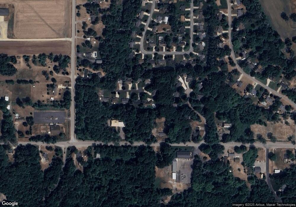
Map
Nearby Homes
- 4087 Ronalds Rd
- 1341 142nd Ave
- 4318 17th St
- 1683 Slater St
- 4191 Radstock Dr
- 2338 142nd Ave
- 3778 22nd St
- 2298 138th Ave
- 2371 Maple Lane Ave
- 0 142nd Ave Unit 25028931
- 2579 142nd Ave
- 10780 Windward Ave SW
- 10785 Windward Ave SW
- 10725 Windward Ave SW
- Lot 11 Walnut Dale Dr
- Parcel 1 146th Ave
- 10711 Windward Ave SW
- 2263 136th Ave
- 737 100th St SW
- 136 100th St SW
- 1969 Jansen Woods Ct Unit 14
- 1974 Jansen Woods Ct Unit 16
- 4218 Beechwood Ct Unit 6
- 4214 Beechwood Ct Unit 7
- 1967 Jansen Woods Ct Unit 13
- 1969 142nd Ave
- 1978 Jansen Woods Ct Unit 17
- 1973 Jansen Woods Ct
- 1973 Jansen Woods Ct Unit 12
- 4222 Beechwood Ct
- 4210 Beechwood Ct Unit 8
- 4210 Beechwood Ct Unit 9
- 4210 Beechwood Ct
- 1979 Jansen Woods Ct Unit 11
- 1989 142nd Ave
- 1982 Jansen Woods Ct Unit 18
- 1980 Red Pine Dr
- 1984 Red Pine Dr
- 1981 Jansen Woods Ct Unit 10
- 1978 Red Pine Dr