1970 Mount Zion Rd Bucyrus, OH 44820
Estimated Value: $236,000 - $442,000
3
Beds
1
Bath
1,274
Sq Ft
$252/Sq Ft
Est. Value
About This Home
This home is located at 1970 Mount Zion Rd, Bucyrus, OH 44820 and is currently estimated at $320,474, approximately $251 per square foot. 1970 Mount Zion Rd is a home located in Crawford County with nearby schools including Wynford Elementary School, Wynford High School, and Holy Trinity School.
Ownership History
Date
Name
Owned For
Owner Type
Purchase Details
Closed on
Dec 30, 2017
Sold by
Grau Charles H and Grau Carla R
Bought by
Burris Bryan David and Burris Julie Anne
Current Estimated Value
Purchase Details
Closed on
Aug 19, 2016
Sold by
Disbennett Gene A and Disbennett Patricia C
Bought by
Grau Charles H and Grau Carla R
Home Financials for this Owner
Home Financials are based on the most recent Mortgage that was taken out on this home.
Original Mortgage
$70,000
Outstanding Balance
$31,935
Interest Rate
3.41%
Mortgage Type
Future Advance Clause Open End Mortgage
Estimated Equity
$288,539
Create a Home Valuation Report for This Property
The Home Valuation Report is an in-depth analysis detailing your home's value as well as a comparison with similar homes in the area
Home Values in the Area
Average Home Value in this Area
Purchase History
| Date | Buyer | Sale Price | Title Company |
|---|---|---|---|
| Burris Bryan David | -- | None Available | |
| Grau Charles H | $220,000 | Acs Title Bucyrus |
Source: Public Records
Mortgage History
| Date | Status | Borrower | Loan Amount |
|---|---|---|---|
| Open | Grau Charles H | $70,000 | |
| Closed | Burris Bryan David | $0 |
Source: Public Records
Tax History Compared to Growth
Tax History
| Year | Tax Paid | Tax Assessment Tax Assessment Total Assessment is a certain percentage of the fair market value that is determined by local assessors to be the total taxable value of land and additions on the property. | Land | Improvement |
|---|---|---|---|---|
| 2024 | $2,493 | $65,810 | $15,050 | $50,760 |
| 2023 | $2,503 | $34,430 | $9,810 | $24,620 |
| 2022 | $1,578 | $34,430 | $9,810 | $24,620 |
| 2021 | $1,693 | $34,430 | $9,810 | $24,620 |
| 2020 | $1,641 | $36,010 | $11,390 | $24,620 |
| 2019 | $1,679 | $36,010 | $11,390 | $24,620 |
| 2018 | $857 | $36,010 | $11,390 | $24,620 |
| 2017 | $1,827 | $38,920 | $13,290 | $25,630 |
| 2016 | $1,526 | $38,920 | $13,290 | $25,630 |
| 2015 | $1,551 | $38,920 | $13,290 | $25,630 |
| 2014 | $1,506 | $34,720 | $9,090 | $25,630 |
| 2013 | $1,506 | $34,720 | $9,090 | $25,630 |
Source: Public Records
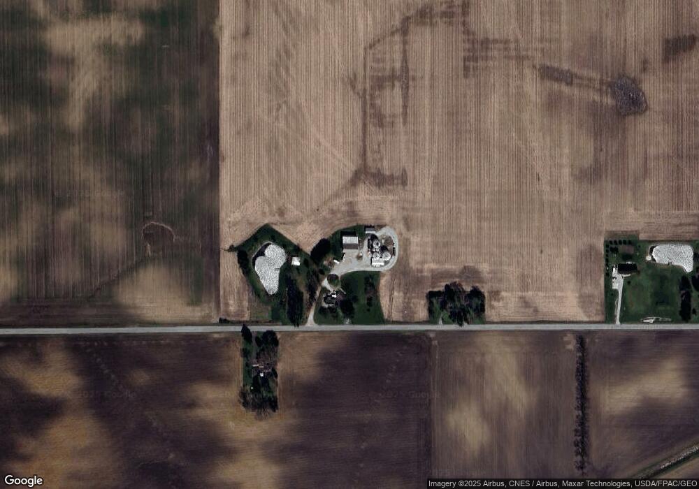
Map
Nearby Homes
- 2440 Wyandot Rd
- 1123 Hillcrest Dr
- 275 Brentwood St
- 1112 Hillcrest Dr
- 1315 Lynne Ave
- 1149 Farmview Dr
- 130 Brentwood St
- 2273 Kerstetter Rd
- 0 Lynne Ave
- 1145 Lynne Ave
- 452 Pleasant Ln
- 1211 S Sandusky Ave
- 182 Williams St
- 3056 Mccracken Rd
- 900 S Spring St
- 1021 S Sandusky Ave
- 325 W Liberty St
- 318 Charlotte St
- 708 S Sandusky Ave
- 317 S Spring St
- 2010 Mount Zion Rd
- 1941 Mount Zion Rd
- 2080 Mount Zion Rd
- 2090 Mount Zion Rd
- 2108 Mount Zion Rd
- 1838 Wyandot Rd
- 1761 Wyandot Rd
- 2176 Mount Zion Rd
- 2202 Mount Zion Rd
- 2215 Mount Zion Rd
- 1723 Wyandot Rd
- 1986 Wyandot Rd
- 2291 Denzer Rd
- 1665 Wyandot Rd
- 2055 Wyandot Rd
- 1990 Wyandot Rd
- 1875 State Route 4
- 2012 Wyandot Rd
- 1660 Wyandot Rd
- 1811 State Route 4