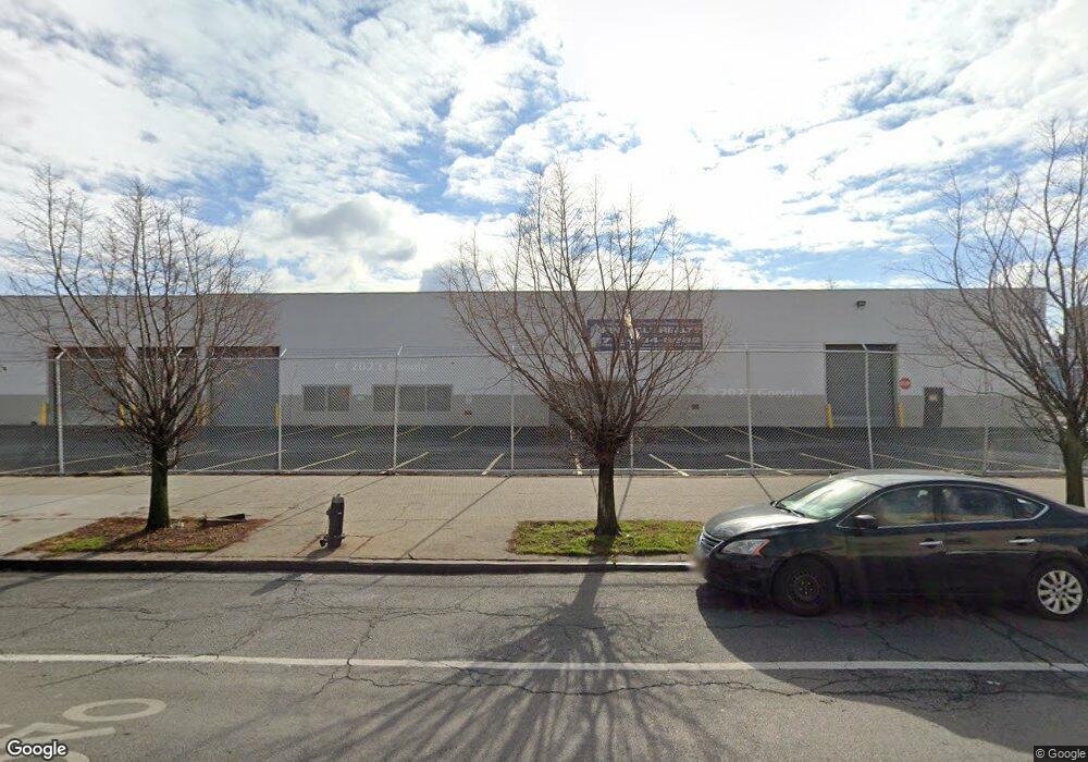
1970 Pitkin Ave Brooklyn, NY 11207
Brownsville NeighborhoodEstimated Value: $24,865,474
--
Bed
--
Bath
70,000
Sq Ft
$355/Sq Ft
Est. Value
About This Home
This home is located at 1970 Pitkin Ave, Brooklyn, NY 11207 and is currently estimated at $24,865,474, approximately $355 per square foot. 1970 Pitkin Ave is a home located in Kings County with nearby schools including J.H.S 292 Margaret S. Douglas, Hyde Leadership Charter School-Brooklyn, and Trey Whitfield School.
Ownership History
Date
Name
Owned For
Owner Type
Purchase Details
Closed on
Sep 7, 2017
Sold by
Maret Realty Llc and Mark A
Bought by
Spg Pitkin Ave Llc
Current Estimated Value
Purchase Details
Closed on
Feb 10, 2005
Sold by
% Mallow Konstam & Hager
Bought by
Maret Realty Llc
Purchase Details
Closed on
Aug 13, 2004
Sold by
Display Creations Inc
Bought by
H & P Realty Associates Llc
Create a Home Valuation Report for This Property
The Home Valuation Report is an in-depth analysis detailing your home's value as well as a comparison with similar homes in the area
Home Values in the Area
Average Home Value in this Area
Purchase History
| Date | Buyer | Sale Price | Title Company |
|---|---|---|---|
| Spg Pitkin Ave Llc | $16,200,000 | -- | |
| Spg Pitkin Ave Llc | $16,200,000 | -- | |
| Maret Realty Llc | $7,740,000 | -- | |
| Maret Realty Llc | $7,740,000 | -- | |
| H & P Realty Associates Llc | -- | -- | |
| H & P Realty Associates Llc | -- | -- | |
| Display Creations Inc | -- | -- |
Source: Public Records
Tax History Compared to Growth
Tax History
| Year | Tax Paid | Tax Assessment Tax Assessment Total Assessment is a certain percentage of the fair market value that is determined by local assessors to be the total taxable value of land and additions on the property. | Land | Improvement |
|---|---|---|---|---|
| 2025 | $406,909 | $5,253,300 | $648,000 | $4,605,300 |
| 2024 | $406,909 | $5,772,150 | $648,000 | $5,124,150 |
| 2023 | $339,613 | $5,766,300 | $648,000 | $5,118,300 |
| 2022 | $126,066 | $5,110,200 | $648,000 | $4,462,200 |
| 2021 | $158,421 | $1,481,400 | $648,000 | $833,400 |
| 2020 | $86,248 | $1,747,800 | $648,000 | $1,099,800 |
| 2019 | $156,786 | $1,747,800 | $648,000 | $1,099,800 |
| 2018 | $151,988 | $1,537,650 | $648,000 | $889,650 |
| 2017 | $112,493 | $1,479,150 | $648,000 | $831,150 |
| 2016 | $5,974 | $1,339,200 | $648,000 | $691,200 |
| 2015 | -- | $1,352,250 | $648,000 | $704,250 |
| 2014 | -- | $1,231,200 | $648,000 | $583,200 |
Source: Public Records
Map
Nearby Homes
- 297 Hinsdale St
- 34&36 Marginal St
- 297 Pennsylvania Ave
- 317 Pennsylvania Ave
- 45 Hinsdale St
- 637 Blake Ave
- 353 Pennsylvania Ave
- 663 Sutter Ave
- 22 Hinsdale St
- 667 Sutter Ave
- 440 Blake Ave
- 444 New Jersey Ave
- 105 Belmont Ave
- 101 Belmont Ave
- 342 Wyona St
- 406 Hinsdale St
- 459 Belmont Ave
- 439 Vermont St
- 1782 Pitkin Ave
- 243 Wyona St
- 198 Hinsdale St
- 206 Hinsdale St
- 265 Belmont Ave
- 229-239 Hinsdale St
- 240 Alabama Ave
- 289 Williams Ave
- 253-257 Belmont Ave
- 272 Belmont Ave
- 197 Snediker Ave
- 276 Belmont Ave
- 1946 Pitkin Ave
- 1975 Pitkin Ave
- 1957-1961 Pitkin Ave
- 219 Snediker Ave
- 191 Williams Ave
- 201 Snediker Ave
- 218 Hinsdale St
- 1943 Pitkin Ave
- 1981 Pitkin Ave
- 156 Hinsdale St