Estimated Value: $639,000 - $797,000
4
Beds
2
Baths
2,372
Sq Ft
$298/Sq Ft
Est. Value
About This Home
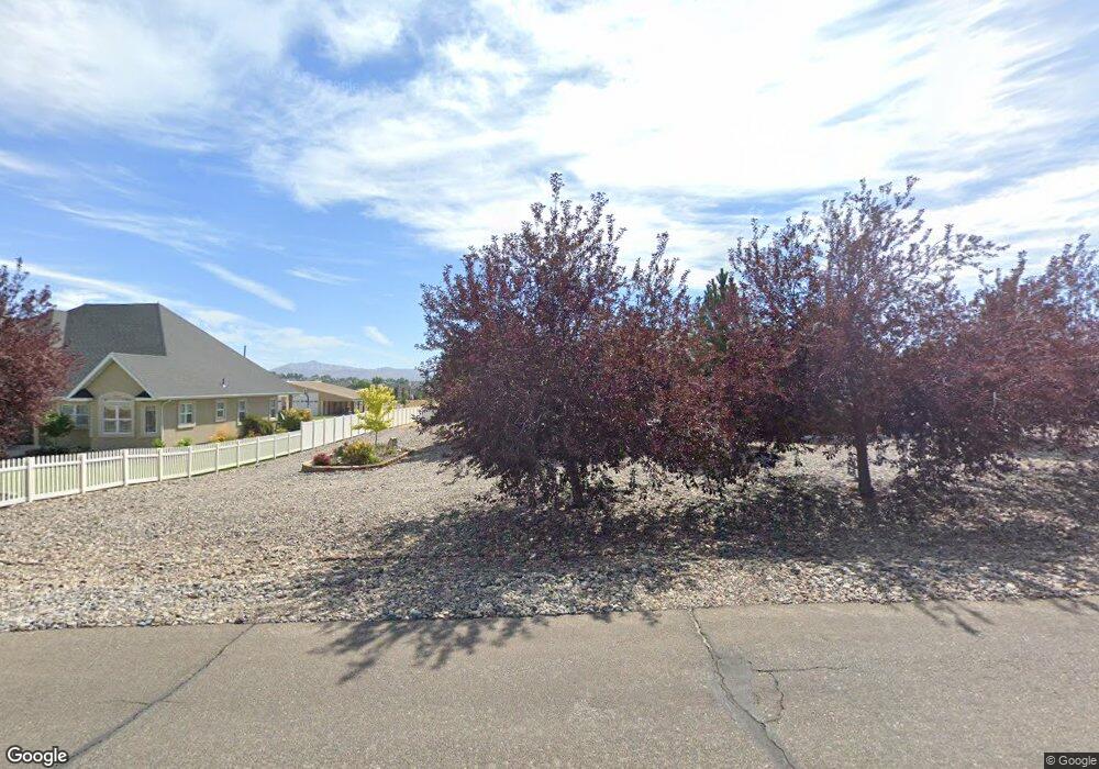
This home is located at 1970 Royal Crest Dr, Elko, NV 89801 and is currently estimated at $706,560, approximately $297 per square foot. 1970 Royal Crest Dr is a home located in Elko County with nearby schools including Mountain View Elementary School, Adobe Middle School, and Flagview Intermediate School.
Ownership History
Date
Name
Owned For
Owner Type
Purchase Details
Closed on
Jul 18, 2006
Sold by
M & P Development Llc
Bought by
Smith Michael R and Smith Ruth A
Current Estimated Value
Home Financials for this Owner
Home Financials are based on the most recent Mortgage that was taken out on this home.
Original Mortgage
$339,714
Outstanding Balance
$202,902
Interest Rate
6.76%
Mortgage Type
Purchase Money Mortgage
Estimated Equity
$503,658
Create a Home Valuation Report for This Property
The Home Valuation Report is an in-depth analysis detailing your home's value as well as a comparison with similar homes in the area
Home Values in the Area
Average Home Value in this Area
Purchase History
| Date | Buyer | Sale Price | Title Company |
|---|---|---|---|
| Smith Michael R | $90,000 | Stewart Title |
Source: Public Records
Mortgage History
| Date | Status | Borrower | Loan Amount |
|---|---|---|---|
| Open | Smith Michael R | $339,714 |
Source: Public Records
Tax History Compared to Growth
Tax History
| Year | Tax Paid | Tax Assessment Tax Assessment Total Assessment is a certain percentage of the fair market value that is determined by local assessors to be the total taxable value of land and additions on the property. | Land | Improvement |
|---|---|---|---|---|
| 2025 | $7,488 | $215,182 | $41,300 | $173,882 |
| 2024 | $7,488 | $204,526 | $29,750 | $174,776 |
| 2023 | $6,644 | $193,520 | $29,750 | $163,770 |
| 2022 | $6,152 | $168,028 | $29,750 | $138,278 |
| 2021 | $5,988 | $163,548 | $29,750 | $133,798 |
| 2020 | $5,833 | $167,470 | $29,750 | $137,720 |
| 2019 | $1,262 | $36,212 | $29,750 | $6,462 |
| 2018 | $4,502 | $129,243 | $29,750 | $99,493 |
| 2017 | $4,442 | $127,537 | $29,750 | $97,787 |
| 2016 | $4,506 | $126,057 | $29,750 | $96,307 |
| 2015 | $4,390 | $122,100 | $29,750 | $92,350 |
| 2014 | $4,190 | $117,322 | $29,750 | $87,572 |
Source: Public Records
Map
Nearby Homes
- 3733 Autumn Colors Dr
- 3634 Boulder Creek
- TBD Mountain City Hwy
- 3050 Mountain City Hwy
- 3320 Mountain City Hwy
- 3221 Jennings Way
- 2908 Aria Way
- 2939 Aria Way
- 2943 Aria Way
- 2910 Aria Way
- 2912 Aria Way
- 2911 Aria Way
- 2953 Aria Way
- 1615 Rockland Dr
- 2914 Aria Way
- 2963 Aria Way
- 2918 Aria Way
- 2966 Aria Way
- 2970 Aria Way
- 2110 Pratt Dr
- 2000 Royal Crest Dr
- 1940 Royal Crest Dr
- 2005 Royal Crest Dr
- 1975 Royal Crest Dr
- 3721 Sundance Dr
- 1945 Royal Crest Dr
- 2030 Royal Crest Dr
- 1910 Royal Crest Dr
- 1910 Royal Crest Dr
- 2035 Royal Credt Dr
- 1935 Royal Crest Dr
- 1529 Tamarack Rd
- 1880 Royal Crest Dr
- 3713 Sundance Dr
- 1925 Royal Crest Dr
- 1523 Tamarack Rd
- 1554 Tamarack Rd
- 1542 Tamarack Rd
- 1530 Tamarack Rd
- 1566 Tamarack Rd