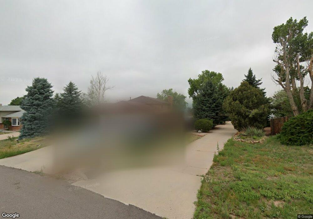
1970 Rusty Hinge Dr Colorado Springs, CO 80920
Briargate NeighborhoodEstimated Value: $366,000
4
Beds
3
Baths
1,236
Sq Ft
$296/Sq Ft
Est. Value
About This Home
This home is located at 1970 Rusty Hinge Dr, Colorado Springs, CO 80920 and is currently priced at $366,000, approximately $296 per square foot. 1970 Rusty Hinge Dr is a home located in El Paso County with nearby schools including High Plains Elementary School, Mountain Ridge Middle School, and Rampart High School.
Ownership History
Date
Name
Owned For
Owner Type
Purchase Details
Closed on
Nov 30, 2015
Sold by
Hoover Joseph L
Bought by
Hoover Joseph L and Hoover Allison A
Current Estimated Value
Purchase Details
Closed on
Mar 4, 2015
Sold by
Brunette Thomas R and Brunette Angela S
Bought by
Hoover Joseph L
Home Financials for this Owner
Home Financials are based on the most recent Mortgage that was taken out on this home.
Original Mortgage
$190,400
Outstanding Balance
$145,720
Interest Rate
3.66%
Mortgage Type
New Conventional
Purchase Details
Closed on
Aug 23, 2013
Sold by
Steele Kenneth J
Bought by
Brunette Thomas R and Brunette Angela S
Home Financials for this Owner
Home Financials are based on the most recent Mortgage that was taken out on this home.
Original Mortgage
$160,000
Interest Rate
5%
Mortgage Type
Seller Take Back
Purchase Details
Closed on
Apr 10, 1979
Bought by
Hoover Joseph L
Purchase Details
Closed on
Nov 15, 1978
Bought by
Hoover Joseph L
Create a Home Valuation Report for This Property
The Home Valuation Report is an in-depth analysis detailing your home's value as well as a comparison with similar homes in the area
Home Values in the Area
Average Home Value in this Area
Purchase History
| Date | Buyer | Sale Price | Title Company |
|---|---|---|---|
| Hoover Joseph L | -- | None Available | |
| Hoover Joseph L | $238,000 | North American Title | |
| Brunette Thomas R | $220,000 | North Amer Title Co Of Co | |
| Steele Kenneth J | -- | North American Title | |
| Hoover Joseph L | -- | -- | |
| Hoover Joseph L | -- | -- |
Source: Public Records
Mortgage History
| Date | Status | Borrower | Loan Amount |
|---|---|---|---|
| Open | Hoover Joseph L | $190,400 | |
| Previous Owner | Brunette Thomas R | $160,000 |
Source: Public Records
Tax History Compared to Growth
Tax History
| Year | Tax Paid | Tax Assessment Tax Assessment Total Assessment is a certain percentage of the fair market value that is determined by local assessors to be the total taxable value of land and additions on the property. | Land | Improvement |
|---|---|---|---|---|
| 2022 | $1,599 | $22,660 | $4,340 | $18,320 |
| 2021 | $1,768 | $23,300 | $4,460 | $18,840 |
| 2020 | $1,701 | $20,900 | $3,720 | $17,180 |
| 2019 | $1,684 | $20,900 | $3,720 | $17,180 |
| 2018 | $1,377 | $16,810 | $2,880 | $13,930 |
| 2017 | $1,372 | $16,810 | $2,880 | $13,930 |
| 2016 | $1,437 | $17,580 | $2,930 | $14,650 |
| 2015 | $1,434 | $17,580 | $2,930 | $14,650 |
| 2014 | $1,112 | $13,620 | $2,930 | $10,690 |
Source: Public Records
Map
Nearby Homes
- 1932 Silkwood Dr
- 2068 Silkwood Dr
- 1880 Independence Dr
- 2110 Whitehorn Dr N
- 1907 Independence Dr
- 2006 Summerset Dr
- 2114 Summerset Dr
- 1884 Fuller Rd
- 8161 Regiment Ct
- 2512 Elite Terrace
- 1931 London Carriage Grove
- 8335 Sutterfield Dr
- 2270 Cloverdale Dr
- 2650 Bannister Ct
- 7191 Ross Dr
- 8146 Horizon Dr
- 2615 Thrush Grove
- 7849 Flicker Grove
- 2326 Parliament Dr
- 2340 Winstead View
- 1960 Rusty Hinge Dr
- 1980 Rusty Hinge Dr
- 1914 Flintlock Terrace W
- 1990 Rusty Hinge Dr
- 1918 Flintlock Terrace W
- 1965 Rusty Hinge Dr
- 2010 Rusty Hinge Dr
- 1922 Flintlock Terrace W
- 1975 Rusty Hinge Dr
- 1905 Flintlock Terrace W
- 1955 Rusty Hinge Dr
- 1940 Rusty Hinge Dr
- 1926 Flintlock Terrace W
- 2015 Rusty Hinge Dr
- 2020 Rusty Hinge Dr
- 1945 Rusty Hinge Dr
- 1980 Silkwood Dr
- 1909 Flintlock Terrace W
- 1913 Flintlock Terrace W
- 1930 Rusty Hinge Dr