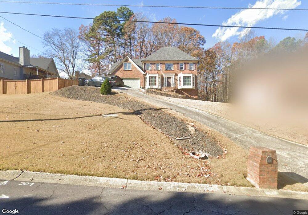
1970 Wessington Ct Unit 1 Buford, GA 30519
Estimated Value: $428,000 - $502,000
4
Beds
3
Baths
2,325
Sq Ft
$201/Sq Ft
Est. Value
About This Home
This home is located at 1970 Wessington Ct Unit 1, Buford, GA 30519 and is currently estimated at $467,418, approximately $201 per square foot. 1970 Wessington Ct Unit 1 is a home located in Gwinnett County with nearby schools including Harmony Elementary School, Glenn C. Jones Middle School, and Sugar Hill Christian Academy.
Ownership History
Date
Name
Owned For
Owner Type
Purchase Details
Closed on
Oct 27, 2005
Sold by
Nardone Susan M
Bought by
Hemer William P and Hemer Miriam
Current Estimated Value
Home Financials for this Owner
Home Financials are based on the most recent Mortgage that was taken out on this home.
Original Mortgage
$37,800
Interest Rate
5.66%
Mortgage Type
Unknown
Create a Home Valuation Report for This Property
The Home Valuation Report is an in-depth analysis detailing your home's value as well as a comparison with similar homes in the area
Home Values in the Area
Average Home Value in this Area
Purchase History
| Date | Buyer | Sale Price | Title Company |
|---|---|---|---|
| Hemer William P | $189,000 | -- |
Source: Public Records
Mortgage History
| Date | Status | Borrower | Loan Amount |
|---|---|---|---|
| Closed | Hemer William P | $37,800 | |
| Open | Hemer William P | $151,200 |
Source: Public Records
Tax History Compared to Growth
Tax History
| Year | Tax Paid | Tax Assessment Tax Assessment Total Assessment is a certain percentage of the fair market value that is determined by local assessors to be the total taxable value of land and additions on the property. | Land | Improvement |
|---|---|---|---|---|
| 2024 | $4,196 | $148,640 | $39,200 | $109,440 |
| 2023 | $4,196 | $168,120 | $39,200 | $128,920 |
| 2022 | $3,910 | $136,760 | $27,960 | $108,800 |
| 2021 | $3,313 | $105,440 | $27,960 | $77,480 |
| 2020 | $3,135 | $96,120 | $23,840 | $72,280 |
| 2019 | $3,053 | $96,120 | $23,840 | $72,280 |
| 2018 | $2,893 | $88,640 | $18,400 | $70,240 |
| 2016 | $2,750 | $81,000 | $14,800 | $66,200 |
| 2015 | $2,773 | $81,000 | $14,800 | $66,200 |
| 2014 | $2,541 | $69,840 | $14,800 | $55,040 |
Source: Public Records
Map
Nearby Homes
- 3560 Hanover Dr
- 1970 Sturbridge Ln Unit 1
- 3476 Harvest Ridge Ln
- 3410 Coles Creek Dr
- 2040 Harvest Ridge Cir NE
- 2040 Harvest Ridge Cir
- 2140 Harvest Ridge Cir
- 3534 Fallen Oak Ln
- 3573 Fallen Oak Dr
- 2183 Ivy Crest Dr
- 3684 Heritage Crest Pkwy
- 3962 Adler Cir Unit 7
- 4152 Adler Cir Unit 42
- 4202 Adler Cir
- 4002 Adler Cir
- 4202 Adler Cir Unit 47
- 3962 Adler Cir
- 4152 Adler Cir
- 2182 Misty Brook Ct
- 2148 Splitrail Trail
- 3561 Hanover Dr
- 3571 Hanover Dr Unit 3571
- 3571 Hanover Dr
- 0 Hanover Dr Unit 7389697
- 0 Hanover Dr Unit 7172935
- 0 Hanover Dr Unit 7081513
- 0 Hanover Dr Unit 3248204
- 0 Hanover Dr Unit 8584045
- 0 Hanover Dr Unit 7169932
- 0 Hanover Dr Unit 3194931
- 3541 Hanover Dr
- 3581 Hanover Dr
- 3570 Hanover Dr
- 1971 Wessington Ct
- 1971 Wessington Ct Unit 1971
- 0 Wessington Ct Unit 7572213
- 0 Wessington Ct
- 3531 Hanover Dr Unit 1
- 3550 Hanover Dr
- 3580 Hanover Dr