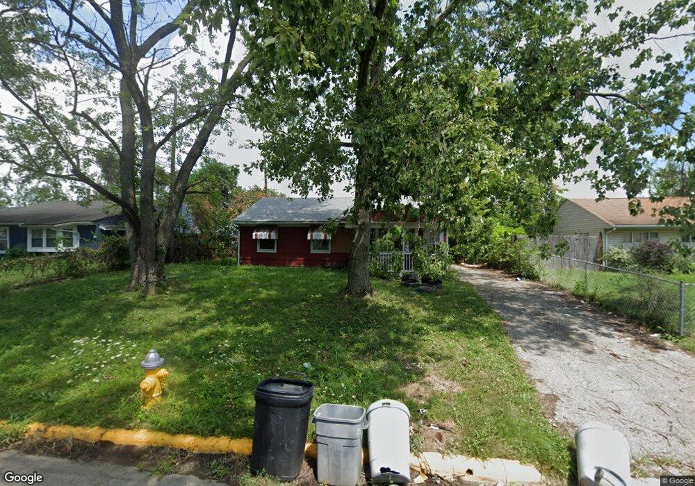
1970 Westfield Dr N Columbus, OH 43223
Estimated Value: $175,655 - $202,000
3
Beds
1
Bath
925
Sq Ft
$205/Sq Ft
Est. Value
About This Home
This home is located at 1970 Westfield Dr N, Columbus, OH 43223 and is currently estimated at $189,164, approximately $204 per square foot. 1970 Westfield Dr N is a home located in Franklin County with nearby schools including Finland Elementary School, Franklin Woods Intermediate School, and Finland Middle School.
Ownership History
Date
Name
Owned For
Owner Type
Purchase Details
Closed on
Oct 8, 2025
Sold by
Tigner Kelly Nicole and Tigner Dustin
Bought by
Holley Brett
Current Estimated Value
Purchase Details
Closed on
Jun 9, 1976
Bought by
Pendleton Jeffery L
Create a Home Valuation Report for This Property
The Home Valuation Report is an in-depth analysis detailing your home's value as well as a comparison with similar homes in the area
Home Values in the Area
Average Home Value in this Area
Purchase History
| Date | Buyer | Sale Price | Title Company |
|---|---|---|---|
| Holley Brett | $82,500 | Valmer Land Title | |
| Pendleton Jeffery L | -- | -- |
Source: Public Records
Tax History Compared to Growth
Tax History
| Year | Tax Paid | Tax Assessment Tax Assessment Total Assessment is a certain percentage of the fair market value that is determined by local assessors to be the total taxable value of land and additions on the property. | Land | Improvement |
|---|---|---|---|---|
| 2024 | $2,240 | $43,930 | $7,530 | $36,400 |
| 2023 | $2,229 | $43,925 | $7,525 | $36,400 |
| 2022 | $1,589 | $21,530 | $8,610 | $12,920 |
| 2021 | $1,509 | $21,530 | $8,610 | $12,920 |
| 2020 | $1,506 | $21,530 | $8,610 | $12,920 |
| 2019 | $1,377 | $17,650 | $7,180 | $10,470 |
| 2018 | $1,270 | $17,650 | $7,180 | $10,470 |
| 2017 | $1,311 | $17,650 | $7,180 | $10,470 |
| 2016 | $1,258 | $15,260 | $3,220 | $12,040 |
| 2015 | $1,168 | $15,260 | $3,220 | $12,040 |
| 2014 | $1,168 | $15,260 | $3,220 | $12,040 |
| 2013 | $675 | $17,955 | $3,780 | $14,175 |
Source: Public Records
Map
Nearby Homes
- 1607 Red Leaf Ln
- 1543 Red Leaf Ln
- 2210 October Ridge Dr
- 0 S Central Ave
- 1417 Fahy Dr
- 1948 Big Run Bluffs Blvd
- 1949 Big Run Bluffs Blvd
- 1390 Gray Meadow Dr
- 4745 Big Run Rd E
- 1723 Farberdale Dr
- 2336 Woodbrook Cir N Unit 92 B
- 1994 Little Ave
- 2362 Woodbrook Cir N Unit 81
- 2180 Eakin Rd
- 1119 Hardesty Place E Unit 1
- 2382 Hardesty Dr S Unit Q-5
- 2436 Onyx Ct
- 1085 Hardesty Place E Unit 4
- 2337 Hardesty Ct Unit 1
- 2436 Hardesty Dr S Unit 4
- 1964 Westfield Dr N
- 1978 Westfield Dr N
- 2177 Golden Leaf Ln
- 2169 Golden Leaf Ln
- 2185 Golden Leaf Ln
- 1956 Westfield Dr N
- 1971 Westfield Dr N
- 1984 Westfield Dr N
- 1965 Westfield Dr N
- 2161 Golden Leaf Ln
- 2193 Golden Leaf Ln
- 1985 Westfield Dr N
- 1948 Westfield Dr N
- 2153 Golden Leaf Ln
- 1955 Westfield Dr N
- 2195 Golden Leaf Ln
- 2201 Golden Leaf Ln
- 1990 Westfield Dr N
- 2145 Golden Leaf Ln
- 1976 Marsdale Ave