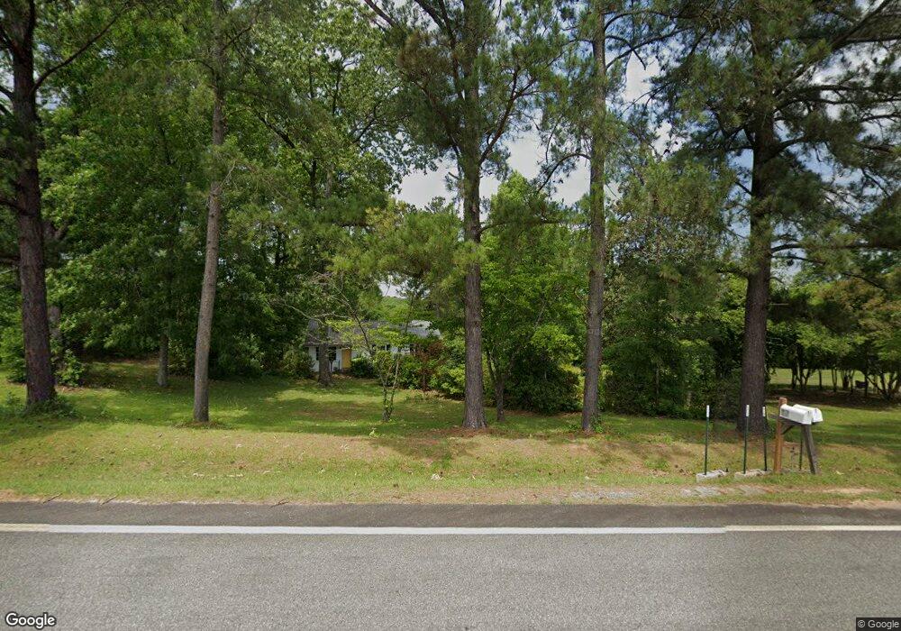
19701 Ga Highway 112 Toomsboro, GA 31090
Estimated Value: $82,226 - $121,000
2
Beds
1
Bath
1,040
Sq Ft
$94/Sq Ft
Est. Value
About This Home
This home is located at 19701 Ga Highway 112, Toomsboro, GA 31090 and is currently estimated at $97,557, approximately $93 per square foot. 19701 Ga Highway 112 is a home located in Wilkinson County with nearby schools including Wilkinson County Primary School, Wilkinson County Elementary School, and Wilkinson County Middle School.
Ownership History
Date
Name
Owned For
Owner Type
Purchase Details
Closed on
Nov 18, 2019
Sold by
Smith Brandon
Bought by
Smith Jace Walker and Smith Katherine Colleen
Current Estimated Value
Purchase Details
Closed on
Apr 12, 2013
Sold by
Smith Charlotte
Bought by
Givans Julie and Robbins William Jerry
Purchase Details
Closed on
Jan 8, 2013
Sold by
Givans Julie
Bought by
Smith Brandon
Purchase Details
Closed on
May 10, 2005
Sold by
Smith Charles T
Bought by
Robbins Lynder H
Purchase Details
Closed on
Jul 6, 2004
Sold by
Davis Inez Estate
Bought by
Smith Charles T and Smith Charlotte
Create a Home Valuation Report for This Property
The Home Valuation Report is an in-depth analysis detailing your home's value as well as a comparison with similar homes in the area
Home Values in the Area
Average Home Value in this Area
Purchase History
| Date | Buyer | Sale Price | Title Company |
|---|---|---|---|
| Smith Jace Walker | $50,000 | -- | |
| Givans Julie | -- | -- | |
| Smith Brandon | -- | -- | |
| Smith Brandon | -- | -- | |
| Robbins Lynder H | -- | -- | |
| Smith Charles T | $28,500 | -- |
Source: Public Records
Tax History Compared to Growth
Tax History
| Year | Tax Paid | Tax Assessment Tax Assessment Total Assessment is a certain percentage of the fair market value that is determined by local assessors to be the total taxable value of land and additions on the property. | Land | Improvement |
|---|---|---|---|---|
| 2024 | $834 | $24,489 | $2,232 | $22,257 |
| 2023 | $518 | $15,212 | $2,592 | $12,620 |
| 2022 | $441 | $12,812 | $2,592 | $10,220 |
| 2021 | $441 | $12,812 | $2,592 | $10,220 |
| 2020 | $441 | $12,812 | $2,592 | $10,220 |
| 2019 | $441 | $12,812 | $2,592 | $10,220 |
| 2018 | $441 | $12,812 | $2,592 | $10,220 |
| 2017 | $411 | $12,812 | $2,592 | $10,220 |
| 2016 | $411 | $12,812 | $2,592 | $10,220 |
Source: Public Records
Map
Nearby Homes
- 00 Old Balls Ferry Rd
- 1924 Old Balls Ferry Rd
- 0 Highway 112 Unit 10401869
- 0 Highway 112 Unit LOT 4 10495008
- 110 Irwinton Rd
- 072 017 Georgia 112
- 183 Main St
- 174 Main St
- 234 S Railroad St
- 0 Long Branch Rd Unit LOT 6
- 0 Long Branch Rd Unit LOT 5
- 0 Long Branch Rd Unit Lot 8
- 0 Long Branch Rd Unit 25649021
- 0 Hwy 112 Unit 50903
- 0 Hwy 112 Unit LotWP001 24020150
- 0 Hwy 112 Unit LotWP002 23024946
- 0 Hwy 112 Unit 25649022
- 0 Old Balls Ferry Rd Unit 10571210
- 0 Old Balls Ferry Rd Unit 10571207
- 0 Us-441 S
- 3409 Poplar Springs Church Rd
- 0 Club Dr Unit 31533
- 3375 Poplar Springs Church Rd
- 3440 Poplar Springs Church Rd
- 118 Club Rd
- 19950 Ga Highway 112
- 242 Club Rd
- 3195 Poplar Springs Church Rd
- 3022 Poplar Springs Church Rd
- 19595 Ga Highway 112
- 20254 Ga Highway 112
- 3025 Polar Springs Church Rd
- 20322 Ga Highway 112
- 20255 Ga Highway 112
- 20255 Ga Highway 112
- 20294 Ga Highway 112
- 20294 Ga Highway 112
- 20357 Ga Highway 112
- 76 Old Balls Ferry Rd
- 609 Club Rd