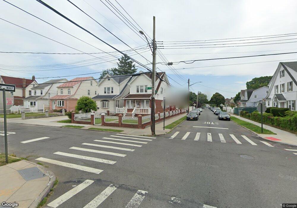
19702 89th Ave Hollis, NY 11423
Hollis NeighborhoodEstimated Value: $721,377 - $895,000
--
Bed
--
Bath
1,703
Sq Ft
$480/Sq Ft
Est. Value
About This Home
This home is located at 19702 89th Ave, Hollis, NY 11423 and is currently estimated at $817,094, approximately $479 per square foot. 19702 89th Ave is a home located in Queens County with nearby schools including P.S. 35 Nathaniel Woodhull, I.S. 238 Susan B Anthony Academy, and The Wellspring Schools.
Ownership History
Date
Name
Owned For
Owner Type
Purchase Details
Closed on
Oct 25, 1999
Sold by
Ramwa Donald D and Ramwa Coleen S
Bought by
Ramwa Donald D
Current Estimated Value
Home Financials for this Owner
Home Financials are based on the most recent Mortgage that was taken out on this home.
Original Mortgage
$23,623
Interest Rate
7.9%
Create a Home Valuation Report for This Property
The Home Valuation Report is an in-depth analysis detailing your home's value as well as a comparison with similar homes in the area
Home Values in the Area
Average Home Value in this Area
Purchase History
| Date | Buyer | Sale Price | Title Company |
|---|---|---|---|
| Ramwa Donald D | $87,500 | Fidelity National Title Ins | |
| Ramwa Donald D | -- | Fidelity National Title Ins |
Source: Public Records
Mortgage History
| Date | Status | Borrower | Loan Amount |
|---|---|---|---|
| Closed | Ramwa Donald D | $23,623 |
Source: Public Records
Tax History Compared to Growth
Tax History
| Year | Tax Paid | Tax Assessment Tax Assessment Total Assessment is a certain percentage of the fair market value that is determined by local assessors to be the total taxable value of land and additions on the property. | Land | Improvement |
|---|---|---|---|---|
| 2025 | $5,850 | $32,316 | $10,623 | $21,693 |
| 2024 | $5,862 | $30,524 | $9,869 | $20,655 |
| 2023 | $5,504 | $28,805 | $8,013 | $20,792 |
| 2022 | $5,206 | $46,500 | $14,220 | $32,280 |
| 2021 | $5,495 | $39,300 | $14,220 | $25,080 |
| 2020 | $5,404 | $38,700 | $14,220 | $24,480 |
| 2019 | $5,028 | $33,120 | $14,220 | $18,900 |
| 2018 | $4,596 | $24,004 | $10,898 | $13,106 |
| 2017 | $4,374 | $22,929 | $11,513 | $11,416 |
| 2016 | $4,274 | $22,929 | $11,513 | $11,416 |
| 2015 | $2,389 | $22,442 | $12,120 | $10,322 |
| 2014 | $2,389 | $21,198 | $11,964 | $9,234 |
Source: Public Records
Map
Nearby Homes
- 88-27 196th St
- 89-48 196th St
- 88-38 201st St
- 196-33 Foothill Ave
- 19633 Foothill Ave
- 8925 201st St
- 88-44 202nd St
- 90-35 198th St
- 196-35 Dunton Ave Unit 1
- 88-49 202nd St
- 87-44 Marengo St Unit 2A
- 87-24 Marengo St Unit 2B
- 87-16 Marengo St Unit 2B
- 9051 201st St
- 198-02 Pompeii Ave Unit 1 B
- 198-44 Pompeii Ave Unit 1A
- 202 -35 Foothill Ave Unit B42
- 92-22 195th Place
- 202-35 Foothill Ave Unit B24
- 202-35 Foothill Ave Unit A78
- 19704 89th Ave
- 19706 89th Ave
- 8902 197th St
- 19708 89th Ave
- 89-02 197th St Unit 2
- 19632 89th Ave
- 19701 89th Rd
- 197-07 89th Ave
- 19712 89th Ave
- 197-01 89th Ave
- 8914 197th St
- 19707 89th Rd
- 19701 89th Ave
- 196-28 89th Ave
- 19628 89th Ave
- 8920 197th St
- 19713 89th Rd
- 19716 89th Ave
- 19703 89th Ave
- 197-13 89th Rd