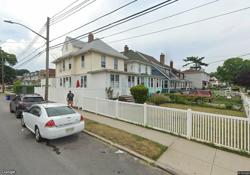
19703 89th Ave Hollis, NY 11423
Hollis NeighborhoodEstimated Value: $752,000 - $1,063,000
--
Bed
--
Bath
1,404
Sq Ft
$610/Sq Ft
Est. Value
About This Home
This home is located at 19703 89th Ave, Hollis, NY 11423 and is currently estimated at $856,035, approximately $609 per square foot. 19703 89th Ave is a home located in Queens County with nearby schools including P.S. 35 Nathaniel Woodhull, I.S. 238 Susan B Anthony Academy, and The Wellspring Schools.
Ownership History
Date
Name
Owned For
Owner Type
Purchase Details
Closed on
Jan 20, 2014
Sold by
Nazir Mohamed
Bought by
Jagroop Deowantie and Nazir Sarah A
Current Estimated Value
Purchase Details
Closed on
Oct 1, 2001
Sold by
Singh Joseph R and Singh Dhanwantaree
Bought by
Nazir Mohamed
Home Financials for this Owner
Home Financials are based on the most recent Mortgage that was taken out on this home.
Original Mortgage
$160,000
Interest Rate
6.77%
Create a Home Valuation Report for This Property
The Home Valuation Report is an in-depth analysis detailing your home's value as well as a comparison with similar homes in the area
Home Values in the Area
Average Home Value in this Area
Purchase History
| Date | Buyer | Sale Price | Title Company |
|---|---|---|---|
| Jagroop Deowantie | -- | -- | |
| Nazir Mohamed | -- | -- |
Source: Public Records
Mortgage History
| Date | Status | Borrower | Loan Amount |
|---|---|---|---|
| Previous Owner | Nazir Mohamed | $160,000 |
Source: Public Records
Tax History Compared to Growth
Tax History
| Year | Tax Paid | Tax Assessment Tax Assessment Total Assessment is a certain percentage of the fair market value that is determined by local assessors to be the total taxable value of land and additions on the property. | Land | Improvement |
|---|---|---|---|---|
| 2025 | $6,195 | $34,180 | $10,035 | $24,145 |
| 2024 | $6,207 | $32,246 | $10,451 | $21,795 |
| 2023 | $5,936 | $30,954 | $9,215 | $21,739 |
| 2022 | $5,550 | $41,400 | $14,040 | $27,360 |
| 2021 | $5,857 | $35,040 | $14,040 | $21,000 |
| 2020 | $5,733 | $34,500 | $14,040 | $20,460 |
| 2019 | $5,329 | $35,760 | $14,040 | $21,720 |
| 2018 | $4,961 | $25,795 | $12,072 | $13,723 |
| 2017 | $4,667 | $24,364 | $12,783 | $11,581 |
| 2016 | $4,561 | $24,364 | $12,783 | $11,581 |
| 2015 | $2,552 | $23,736 | $12,569 | $11,167 |
| 2014 | $2,552 | $22,394 | $13,668 | $8,726 |
Source: Public Records
Map
Nearby Homes
- 88-27 196th St
- 88-38 201st St
- 89-48 196th St
- 8925 201st St
- 88-44 202nd St
- 90-35 198th St
- 196-33 Foothill Ave
- 19633 Foothill Ave
- 88-49 202nd St
- 196-35 Dunton Ave Unit 1
- 87-44 Marengo St Unit 2A
- 9051 201st St
- 87-24 Marengo St Unit 2B
- 87-16 Marengo St Unit 2B
- 9048 204th St
- 93-17 201st St
- 8919 205th St
- 202 -35 Foothill Ave Unit B42
- 9302 202nd St
- 92-22 195th Place
- 19701 89th Ave
- 19705 89th Ave
- 197-07 89th Ave
- 197-01 89th Ave
- 19707 89th Ave
- 8835 197th St
- 19637 89th Ave
- 19715 89th Ave
- 8831 197th St
- 19633 89th Ave
- 19717 89th Ave
- 19717 89th Ave
- 8829 197th St
- 8844 198th St
- 89-02 197th St Unit 2
- 19629 89th Ave
- 19704 89th Ave
- 19702 89th Ave
- 19706 89th Ave
- 8827 197th St