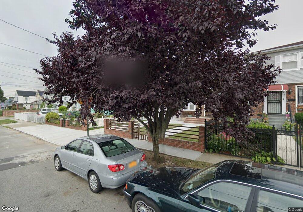
19705 89th Ave Hollis, NY 11423
Hollis NeighborhoodEstimated Value: $886,000 - $996,860
--
Bed
--
Bath
1,908
Sq Ft
$493/Sq Ft
Est. Value
About This Home
This home is located at 19705 89th Ave, Hollis, NY 11423 and is currently estimated at $941,465, approximately $493 per square foot. 19705 89th Ave is a home located in Queens County with nearby schools including P.S. 35 Nathaniel Woodhull, I.S. 238 Susan B Anthony Academy, and The Wellspring Schools.
Ownership History
Date
Name
Owned For
Owner Type
Purchase Details
Closed on
Jun 28, 2010
Sold by
Sprauve Mamie A
Bought by
Ramkishun Georgiana
Current Estimated Value
Home Financials for this Owner
Home Financials are based on the most recent Mortgage that was taken out on this home.
Original Mortgage
$330,000
Outstanding Balance
$219,946
Interest Rate
4.78%
Mortgage Type
Purchase Money Mortgage
Estimated Equity
$721,519
Create a Home Valuation Report for This Property
The Home Valuation Report is an in-depth analysis detailing your home's value as well as a comparison with similar homes in the area
Home Values in the Area
Average Home Value in this Area
Purchase History
| Date | Buyer | Sale Price | Title Company |
|---|---|---|---|
| Ramkishun Georgiana | $420,000 | -- |
Source: Public Records
Mortgage History
| Date | Status | Borrower | Loan Amount |
|---|---|---|---|
| Open | Ramkishun Georgiana | $330,000 |
Source: Public Records
Tax History Compared to Growth
Tax History
| Year | Tax Paid | Tax Assessment Tax Assessment Total Assessment is a certain percentage of the fair market value that is determined by local assessors to be the total taxable value of land and additions on the property. | Land | Improvement |
|---|---|---|---|---|
| 2025 | $6,398 | $33,767 | $15,372 | $18,395 |
| 2024 | $6,398 | $31,856 | $13,629 | $18,227 |
| 2023 | $6,037 | $30,058 | $13,302 | $16,756 |
| 2022 | $6,000 | $52,320 | $24,720 | $27,600 |
| 2021 | $6,277 | $43,380 | $24,720 | $18,660 |
| 2020 | $5,956 | $37,320 | $24,720 | $12,600 |
| 2019 | $5,553 | $39,120 | $24,720 | $14,400 |
| 2018 | $4,808 | $25,048 | $16,945 | $8,103 |
| 2017 | $4,806 | $25,048 | $17,432 | $7,616 |
| 2016 | $4,659 | $25,048 | $17,432 | $7,616 |
| 2015 | $2,630 | $23,450 | $12,849 | $10,601 |
| 2014 | $2,630 | $22,123 | $14,537 | $7,586 |
Source: Public Records
Map
Nearby Homes
- 88-27 196th St
- 89-48 196th St
- 88-38 201st St
- 8925 201st St
- 90-35 198th St
- 88-44 202nd St
- 88-49 202nd St
- 196-33 Foothill Ave
- 19633 Foothill Ave
- 9051 201st St
- 196-35 Dunton Ave Unit 1
- 87-44 Marengo St Unit 2A
- 9048 204th St
- 93-17 201st St
- 9302 202nd St
- 92-22 195th Place
- 87-24 Marengo St Unit 2B
- 90-62 204th St
- 8919 205th St
- 87-16 Marengo St Unit 2B