19706 Shoreline Cir Plattsmouth, NE 68048
Estimated Value: $408,000 - $462,000
3
Beds
5
Baths
2,805
Sq Ft
$155/Sq Ft
Est. Value
About This Home
This home is located at 19706 Shoreline Cir, Plattsmouth, NE 68048 and is currently estimated at $434,333, approximately $154 per square foot. 19706 Shoreline Cir is a home located in Cass County with nearby schools including Plattsmouth Elementary School, Plattsmouth Middle School, and Plattsmouth High School.
Ownership History
Date
Name
Owned For
Owner Type
Purchase Details
Closed on
Apr 5, 2005
Sold by
Meckna Ronald Lee
Bought by
Conte Deanna L
Current Estimated Value
Purchase Details
Closed on
Jan 20, 2004
Sold by
Meckna Ronald Lee
Bought by
Meckna Ronald Lee
Purchase Details
Closed on
Dec 5, 2002
Sold by
Meckna Ronald Lee
Bought by
Meckna Ronald Lee
Purchase Details
Closed on
Apr 20, 2001
Sold by
Bay Hills Limited Partnership
Bought by
Meckna Ronald
Create a Home Valuation Report for This Property
The Home Valuation Report is an in-depth analysis detailing your home's value as well as a comparison with similar homes in the area
Home Values in the Area
Average Home Value in this Area
Purchase History
| Date | Buyer | Sale Price | Title Company |
|---|---|---|---|
| Conte Deanna L | $264,000 | -- | |
| Meckna Ronald Lee | -- | -- | |
| Meckna Ronald Lee | -- | -- | |
| Meckna Ronald | $39,900 | -- |
Source: Public Records
Tax History Compared to Growth
Tax History
| Year | Tax Paid | Tax Assessment Tax Assessment Total Assessment is a certain percentage of the fair market value that is determined by local assessors to be the total taxable value of land and additions on the property. | Land | Improvement |
|---|---|---|---|---|
| 2024 | $6,546 | $366,410 | $80,875 | $285,535 |
| 2023 | $7,017 | $315,530 | $50,000 | $265,530 |
| 2022 | $6,934 | $318,239 | $52,500 | $265,739 |
| 2021 | $6,085 | $270,185 | $50,000 | $220,185 |
| 2020 | $6,377 | $274,723 | $54,000 | $220,723 |
| 2019 | $6,259 | $254,373 | $50,000 | $204,373 |
| 2018 | $6,222 | $254,373 | $50,000 | $204,373 |
| 2017 | $5,823 | $237,169 | $44,000 | $193,169 |
| 2016 | $5,746 | $237,169 | $44,000 | $193,169 |
| 2015 | $5,666 | $237,169 | $44,000 | $193,169 |
| 2014 | $5,794 | $237,169 | $44,000 | $193,169 |
Source: Public Records
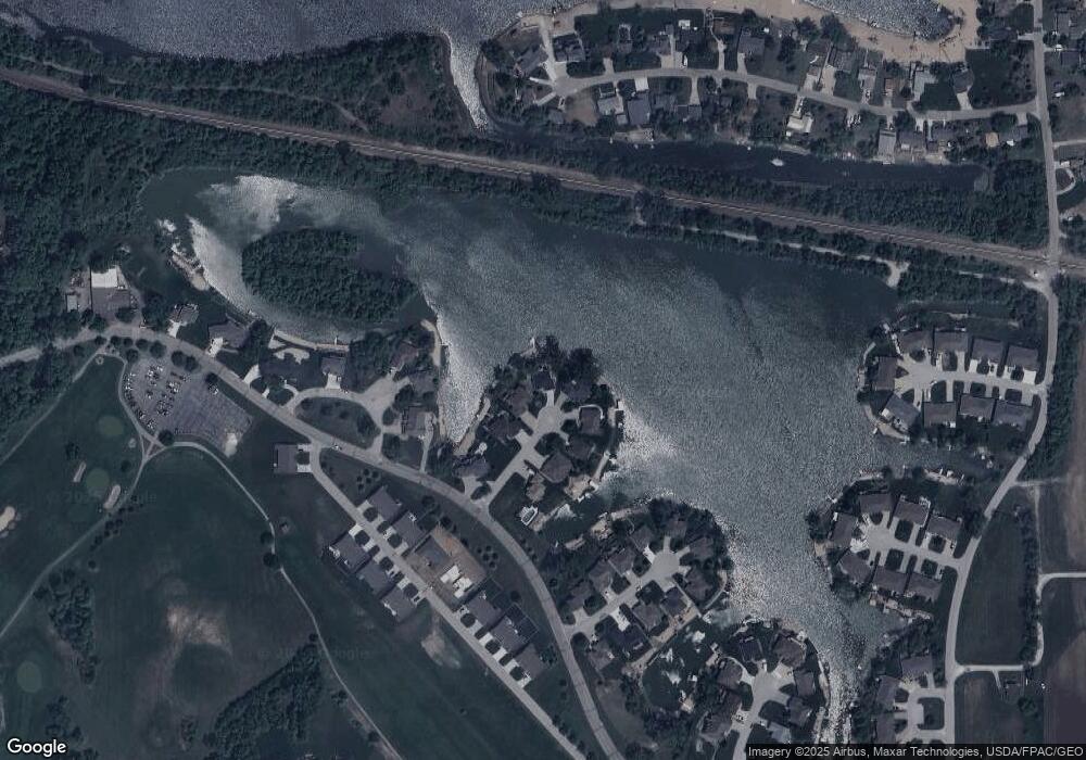
Map
Nearby Homes
- 2912 Lakeside Dr
- 2903 Lakeside Dr
- 2829 Lakeside Dr
- 2831 Lakeside Dr
- 2837 Lakeside Dr
- 2839 Lakeside Dr
- 2901 Lakeside Dr
- 2905 Lakeside Dr
- 2907 Lakeside Dr
- 2909 Lakeside Dr
- 2911 Lakeside Dr
- 2913 Lakeside Dr
- 2915 Lakeside Dr
- 3035 Lakeside Dr
- 3037 Lakeside Dr
- 3039 Lakeside Dr
- 3041 Lakeside Dr
- Lot 21 Treasure Island Rd
- 2493 Buccaneer Blvd
- 2618 Platte River Dr
- 19702 Shoreline Cir
- 19707 Shoreline Cir
- 0 Shoreline Cir
- 19620 Shoreline Cir
- 19705 Shoreline Cir
- 19701 Shoreline Cir
- 19616 Shoreline Cir
- 19619 Shoreline Cir
- 19707 Island Dr
- 19615 Shoreline Cir
- 19708 Island Dr
- 19713 Island Dr
- 2024 Buccaneer Blvd
- 19610 Shoreline Cir
- 19706 Island Dr
- 19702 Island Dr Unit 61/62
- 2311 Acorn Dr
- 2309 Acorn Dr
- 2305 Acorn Dr
- 2308 Acorn Dr