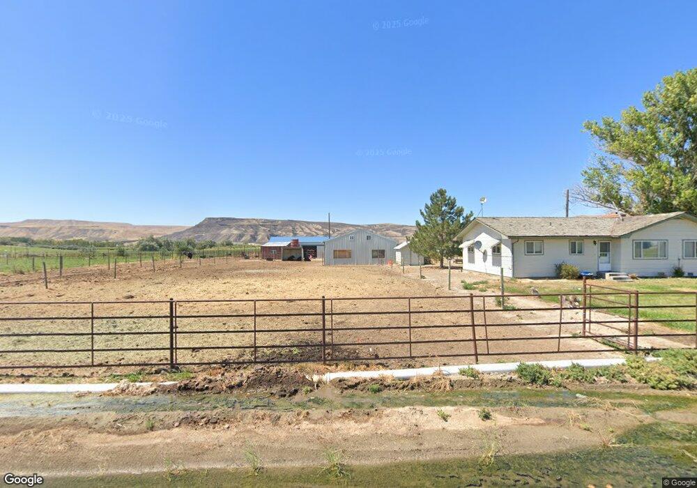
1971 Big Bend Rd Adrian, OR 97901
Estimated Value: $612,442
3
Beds
2
Baths
1,772
Sq Ft
$346/Sq Ft
Est. Value
About This Home
This home is located at 1971 Big Bend Rd, Adrian, OR 97901 and is currently estimated at $612,442, approximately $345 per square foot. 1971 Big Bend Rd is a home located in Malheur County with nearby schools including Adrian Elementary School and Adrian High School.
Ownership History
Date
Name
Owned For
Owner Type
Purchase Details
Closed on
Jan 15, 2021
Sold by
Falleur Randie M
Bought by
Lax Robert L and Falleur Randie M
Current Estimated Value
Purchase Details
Closed on
Dec 28, 2015
Sold by
Cindell Kipton J and Cindell Pamela L
Bought by
Falleur Randie M
Home Financials for this Owner
Home Financials are based on the most recent Mortgage that was taken out on this home.
Original Mortgage
$227,500
Outstanding Balance
$179,479
Interest Rate
3.96%
Mortgage Type
New Conventional
Estimated Equity
$432,963
Purchase Details
Closed on
Feb 28, 2014
Sold by
Glerum Paul M and Glerum Jane S
Bought by
Cindell Kipton J and Cindell Pamela L
Home Financials for this Owner
Home Financials are based on the most recent Mortgage that was taken out on this home.
Original Mortgage
$180,000
Interest Rate
4.38%
Mortgage Type
Purchase Money Mortgage
Create a Home Valuation Report for This Property
The Home Valuation Report is an in-depth analysis detailing your home's value as well as a comparison with similar homes in the area
Purchase History
| Date | Buyer | Sale Price | Title Company |
|---|---|---|---|
| Lax Robert L | -- | None Available | |
| Falleur Randie M | $325,000 | Malheur County Title Company | |
| Cindell Kipton J | $280,000 | Malheur Country Titlte Co In |
Source: Public Records
Mortgage History
| Date | Status | Borrower | Loan Amount |
|---|---|---|---|
| Open | Falleur Randie M | $227,500 | |
| Previous Owner | Cindell Kipton J | $180,000 |
Source: Public Records
Tax History
| Year | Tax Paid | Tax Assessment Tax Assessment Total Assessment is a certain percentage of the fair market value that is determined by local assessors to be the total taxable value of land and additions on the property. | Land | Improvement |
|---|---|---|---|---|
| 2025 | $1,846 | $155,915 | $58,202 | $97,713 |
| 2024 | $1,869 | $151,521 | $56,654 | $94,867 |
| 2023 | $1,721 | $147,246 | $55,142 | $92,104 |
| 2022 | $1,619 | $143,096 | $53,674 | $89,422 |
| 2021 | $1,635 | $138,853 | $52,035 | $86,818 |
| 2020 | $1,578 | $135,000 | $50,710 | $84,290 |
| 2019 | $1,553 | $130,416 | $49,336 | $81,080 |
| 2018 | $1,405 | $115,656 | $48,086 | $67,570 |
| 2017 | $1,222 | $106,435 | $46,875 | $59,560 |
| 2016 | $1,256 | $105,258 | $45,698 | $59,560 |
| 2015 | $1,069 | $87,500 | $44,520 | $42,980 |
| 2014 | $1,078 | $86,339 | $43,359 | $42,980 |
Source: Public Records
Map
Nearby Homes
- 721 Mendiola Rd
- Lot 2B Clydesdale Ln
- Lot 3B Drum Ln
- Lot 5A Drum Ln
- 830 Snively Gulch Rd
- TBD Snively Gulch Rd
- 4.8acTBD Chips Ln
- 646 Overstreet Rd
- 26635 Pioneer Ln
- 24013 Arena Valley Rd
- 933 Overstreet Rd
- 26915 Chips Ln
- 29335 Dixie Rd
- 1964 River Rd
- 00 Peckham Rd
- 23743 Stephen Ln
- 2509 Highway 201
- 2509 Oregon 201
- TBD Kygar Rd
- 28074 Red Top Rd
Your Personal Tour Guide
Ask me questions while you tour the home.