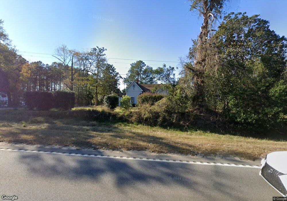
1971 Burtons Ferry Hwy Sylvania, GA 30467
Estimated Value: $87,207 - $189,000
3
Beds
2
Baths
1,806
Sq Ft
$71/Sq Ft
Est. Value
About This Home
This home is located at 1971 Burtons Ferry Hwy, Sylvania, GA 30467 and is currently estimated at $129,052, approximately $71 per square foot. 1971 Burtons Ferry Hwy is a home located in Screven County with nearby schools including Screven County Elementary School, Screven County Middle School, and Screven County High School.
Ownership History
Date
Name
Owned For
Owner Type
Purchase Details
Closed on
Nov 28, 2007
Sold by
Ruffin Rosettea
Bought by
Atkins Clara
Current Estimated Value
Purchase Details
Closed on
Feb 2, 2007
Sold by
Thompson Marvin
Bought by
Akins Clara
Purchase Details
Closed on
Aug 4, 1997
Sold by
Fulcher Nettie
Bought by
Thompson Marvin
Create a Home Valuation Report for This Property
The Home Valuation Report is an in-depth analysis detailing your home's value as well as a comparison with similar homes in the area
Home Values in the Area
Average Home Value in this Area
Purchase History
| Date | Buyer | Sale Price | Title Company |
|---|---|---|---|
| Atkins Clara | -- | -- | |
| Atkins Clara | -- | -- | |
| Atkins Clara | -- | -- | |
| Atkins Clara | -- | -- | |
| Atkins Clara | -- | -- | |
| Akins Clara | -- | -- | |
| Thompson Marvin | -- | -- |
Source: Public Records
Tax History Compared to Growth
Tax History
| Year | Tax Paid | Tax Assessment Tax Assessment Total Assessment is a certain percentage of the fair market value that is determined by local assessors to be the total taxable value of land and additions on the property. | Land | Improvement |
|---|---|---|---|---|
| 2024 | $728 | $17,804 | $5,920 | $11,884 |
| 2023 | $721 | $17,084 | $5,920 | $11,164 |
| 2022 | $703 | $16,444 | $5,920 | $10,524 |
| 2021 | $698 | $15,604 | $5,920 | $9,684 |
| 2020 | $698 | $15,204 | $5,920 | $9,284 |
| 2019 | $651 | $18,604 | $5,920 | $12,684 |
| 2018 | $534 | $18,644 | $5,920 | $12,724 |
| 2017 | $538 | $18,804 | $5,920 | $12,884 |
| 2016 | $602 | $18,804 | $5,920 | $12,884 |
| 2015 | -- | $18,804 | $5,920 | $12,884 |
| 2014 | -- | $24,404 | $10,280 | $14,124 |
Source: Public Records
Map
Nearby Homes
- 254 Country Club Rd
- LOT 125 Orange Ct
- 717 Lawton Rd
- 0 Friendship Rd Unit SA339071
- 0 Friendship Rd Unit 10597657
- 0 Burtons Ferry Hwy Unit 10549042
- 0 Burtons Ferry Hwy Unit 10475688
- 315 Cork Pond Rd
- 0 Cork Pond Rd Unit 10600234
- 806 N Main St
- 850 Buttermilk Rd
- 0 Dune Ln Unit SA331767
- 938 Rifle Rd
- 222 Bridgeton Dr
- 671 Waynesboro Hwy
- 1296 Millen Hwy
- 406 N Main St
- 416 Abram St
- 221 N Main Streets
- 0 Runs Branch Rd Unit 10617232
- 1875 Burtons Ferry Hwy
- 153 Lawton Cemetery Rd
- 200 Country Club Rd
- 168 Country Club Rd
- 165 Lawton Cemetery Rd
- 166 Country Club Rd
- 201 Lawton Cemetery Rd
- 250 Country Club Rd
- 2109 Burtons Ferry Hwy
- 170 Country Club Rd
- 1805 Burtons Ferry Hwy
- 2172 Burtons Ferry Hwy
- 1766 Burtons Ferry Hwy
- 2209 Burtons Ferry Hwy
- 1968 Burtons Ferry Hwy
- 1968 Burtons Ferry Hwy
- 153 Brittany Ln
- 183 Brittany Ln
- 181 Brittany Ln
- 2219 Burtons Ferry Hwy