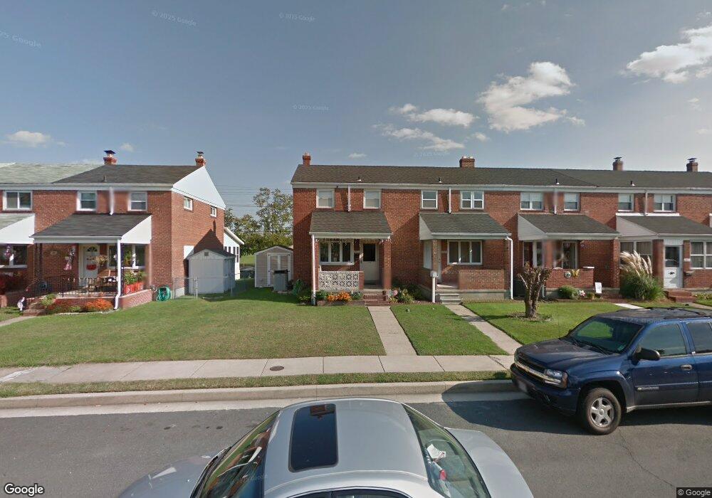
1971 Denbury Dr Dundalk, MD 21222
Estimated Value: $169,503 - $227,000
Studio
2
Baths
1,008
Sq Ft
$206/Sq Ft
Est. Value
About This Home
This home is located at 1971 Denbury Dr, Dundalk, MD 21222 and is currently estimated at $207,876, approximately $206 per square foot. 1971 Denbury Dr is a home located in Baltimore County with nearby schools including Grange Elementary School, General John Stricker Middle School, and Patapsco High & Center for Arts.
Ownership History
Date
Name
Owned For
Owner Type
Purchase Details
Closed on
Jun 24, 1994
Sold by
Rossi Carmen A
Bought by
Madigan Mark A
Current Estimated Value
Home Financials for this Owner
Home Financials are based on the most recent Mortgage that was taken out on this home.
Original Mortgage
$77,300
Interest Rate
8.74%
Purchase Details
Closed on
Mar 9, 1981
Sold by
Groshelle Frances A
Bought by
Rossi Carmen A 3Rd
Create a Home Valuation Report for This Property
The Home Valuation Report is an in-depth analysis detailing your home's value as well as a comparison with similar homes in the area
Home Values in the Area
Average Home Value in this Area
Purchase History
| Date | Buyer | Sale Price | Title Company |
|---|---|---|---|
| Madigan Mark A | $85,900 | -- | |
| Rossi Carmen A 3Rd | $44,000 | -- |
Source: Public Records
Mortgage History
| Date | Status | Borrower | Loan Amount |
|---|---|---|---|
| Closed | Madigan Mark A | $77,300 |
Source: Public Records
Tax History
| Year | Tax Paid | Tax Assessment Tax Assessment Total Assessment is a certain percentage of the fair market value that is determined by local assessors to be the total taxable value of land and additions on the property. | Land | Improvement |
|---|---|---|---|---|
| 2025 | $2,463 | $152,533 | -- | -- |
| 2024 | $2,463 | $140,367 | $0 | $0 |
| 2023 | $1,253 | $128,200 | $38,000 | $90,200 |
| 2022 | $2,381 | $126,000 | $0 | $0 |
| 2021 | $2,427 | $123,800 | $0 | $0 |
| 2020 | $2,427 | $121,600 | $38,000 | $83,600 |
| 2019 | $2,164 | $118,500 | $0 | $0 |
| 2018 | $1,902 | $115,400 | $0 | $0 |
| 2017 | $1,821 | $112,300 | $0 | $0 |
| 2016 | $1,808 | $112,300 | $0 | $0 |
| 2015 | $1,808 | $112,300 | $0 | $0 |
| 2014 | $1,808 | $123,500 | $0 | $0 |
Source: Public Records
Map
Nearby Homes
- 2811 Moorgate Rd
- 2012 Wareham Rd
- 2782 Moorgate Rd
- 1935 Stanhope Rd
- 1954 Stanhope Rd
- 1930 Stanhope Rd
- 9 Vista Mobile Dr
- 7807 Rockbourne Rd
- 7252 Meadow Ln
- 7832 Rockbourne Rd
- 1940H Robinwood Rd
- 3145 Baybriar Rd
- 7111 Sollers Point Rd
- 7849 Harold Rd
- 8229 Seaworthy Way
- 2953 Yorkway
- 7928 Kavanagh Rd
- 3135 Sollers Point Rd
- 1943 Dineen Dr
- 1614 Lynch Rd
- 1973 Denbury Dr
- 1969 Denbury Dr
- 1975 Denbury Dr
- 1967 Denbury Dr
- 1977 Denbury Dr
- 1965 Denbury Dr
- 1963 Denbury Dr
- 1961 Denbury Dr
- 1959 Denbury Dr
- 2814 Kirkleigh Rd
- 1957 Denbury Dr
- 1962 Denbury Dr
- 1960 Denbury Dr
- 2812 Kirkleigh Rd
- 1958 Denbury Dr
- 1955 Denbury Dr
- 1956 Denbury Dr
- 2001 Denbury Dr
- 2810 Kirkleigh Rd
- 1954 Denbury Dr
Your Personal Tour Guide
Ask me questions while you tour the home.