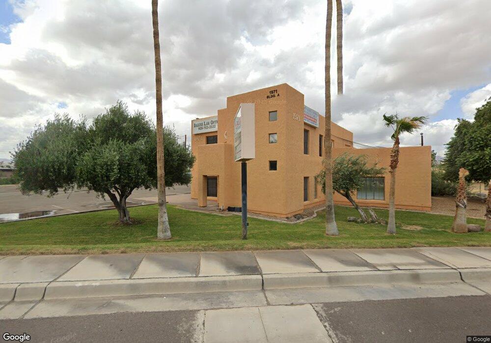
1971 Highway 95 Bullhead, AZ 86442
--
Bed
--
Bath
7,262
Sq Ft
0.78
Acres
About This Home
This home is located at 1971 Highway 95, Bullhead, AZ 86442. 1971 Highway 95 is a home located in Mohave County with nearby schools including Coyote Canyon School, Bullhead City Junior High School, and Mohave High School.
Ownership History
Date
Name
Owned For
Owner Type
Purchase Details
Closed on
Mar 25, 2021
Sold by
Monarrez Stacey and Monarrez Steve
Bought by
Monarrez Steve
Purchase Details
Closed on
Jun 25, 2014
Sold by
Wood Lawrence D and Darlene Wood L
Bought by
Sas Development Llc
Home Financials for this Owner
Home Financials are based on the most recent Mortgage that was taken out on this home.
Original Mortgage
$375,000
Interest Rate
4.07%
Mortgage Type
Seller Take Back
Purchase Details
Closed on
Sep 18, 2009
Sold by
Wood Lawrence D and Darlene Wood L
Bought by
Wood Lawrence D and Darlene Wood L
Purchase Details
Closed on
Sep 6, 2002
Sold by
Leek Terrence S
Bought by
Wood Lawrence D and Darlene Wood L
Home Financials for this Owner
Home Financials are based on the most recent Mortgage that was taken out on this home.
Original Mortgage
$530,000
Interest Rate
6.15%
Mortgage Type
Seller Take Back
Create a Home Valuation Report for This Property
The Home Valuation Report is an in-depth analysis detailing your home's value as well as a comparison with similar homes in the area
Home Values in the Area
Average Home Value in this Area
Purchase History
| Date | Buyer | Sale Price | Title Company |
|---|---|---|---|
| Monarrez Steve | -- | Pioneer Title Agency Inc | |
| Monarrez Steve | $98,000 | Pioneer Title Agency Inc | |
| Sas Development Llc | $475,000 | Chicago Title Agency Inc | |
| Wood Lawrence D | -- | None Available | |
| Wood Lawrence D | $590,000 | Chicago Title Insurance Co |
Source: Public Records
Mortgage History
| Date | Status | Borrower | Loan Amount |
|---|---|---|---|
| Previous Owner | Sas Development Llc | $375,000 | |
| Previous Owner | Wood Lawrence D | $530,000 |
Source: Public Records
Tax History Compared to Growth
Tax History
| Year | Tax Paid | Tax Assessment Tax Assessment Total Assessment is a certain percentage of the fair market value that is determined by local assessors to be the total taxable value of land and additions on the property. | Land | Improvement |
|---|---|---|---|---|
| 2026 | $5,614 | -- | -- | -- |
| 2025 | $11,010 | $166,043 | $0 | $0 |
| 2024 | $11,010 | $136,238 | $0 | $0 |
| 2023 | $11,010 | $103,990 | $0 | $0 |
| 2022 | $10,925 | $105,707 | $0 | $0 |
| 2021 | $11,318 | $96,122 | $0 | $0 |
Source: Public Records
Map
Nearby Homes
- 1439 Summit Dr
- 1472 Summit Dr
- 1391 Riverfront Dr
- 1460 Terrace Dr
- 1900 Highway 95
- 1380 Lincoln Ln
- 1505 Dorado Dr
- 1332 Riverfront Dr
- 1372 Lincoln Ln
- 1525 Turquoise Rd
- 1307 Terrace Dr
- 1266 Wilson Rd
- 1750 Clubhouse Dr Unit 56
- 1750 Clubhouse Dr Unit 65
- 1750 Clubhouse Dr Unit 62
- 1750 Clubhouse Dr Unit 64
- 1750 Clubhouse Dr Unit 67
- 1750 Clubhouse Dr Unit 63
- 1570 Turquoise Rd
- 1442 Verde Dr
- 1971 Arizona 95
- 1390 Colorado Rio Vista
- 1967 Arizona 95
- 1970 Arizona 95
- 1974 Arizona 95
- 1974 Highway 95
- 1966 Highway 95
- 1966 Hwy 95
- 1966 Arizona 95
- 1967 Highway 95
- 1440 Palma Ln
- 1446 Palma Ln
- 1380 Colorado Rio Vista
- 1373 Baseline Rd
- 1435 Summit Cir
- 1960 Arizona 95
- 1374 Colorado Rio Vista
- 1960 Highway 95
- 1374 Colorado Rio Vista
- 1381 Colorado Rio Vista