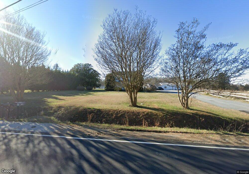
Estimated Value: $404,000 - $531,000
4
Beds
3
Baths
3,139
Sq Ft
$144/Sq Ft
Est. Value
About This Home
This home is located at 1971 Lincoln Rd, York, SC 29745 and is currently estimated at $453,053, approximately $144 per square foot. 1971 Lincoln Rd is a home located in York County with nearby schools including Harold C. Johnson Elementary School, York Intermediate School, and York Middle School.
Ownership History
Date
Name
Owned For
Owner Type
Purchase Details
Closed on
Mar 31, 2016
Sold by
Beck Todd R and Beck Elissa M
Bought by
Mitchell Jarrus
Current Estimated Value
Home Financials for this Owner
Home Financials are based on the most recent Mortgage that was taken out on this home.
Original Mortgage
$275,793
Outstanding Balance
$224,806
Interest Rate
4.5%
Mortgage Type
FHA
Estimated Equity
$228,247
Purchase Details
Closed on
Apr 24, 2002
Sold by
Moss Theodore W and Moss Marilyn J
Bought by
Beck Todd R and Beck Elissa M
Create a Home Valuation Report for This Property
The Home Valuation Report is an in-depth analysis detailing your home's value as well as a comparison with similar homes in the area
Home Values in the Area
Average Home Value in this Area
Purchase History
| Date | Buyer | Sale Price | Title Company |
|---|---|---|---|
| Mitchell Jarrus | $281,000 | -- | |
| Beck Todd R | $130,000 | -- |
Source: Public Records
Mortgage History
| Date | Status | Borrower | Loan Amount |
|---|---|---|---|
| Open | Mitchell Jarrus | $275,793 |
Source: Public Records
Tax History Compared to Growth
Tax History
| Year | Tax Paid | Tax Assessment Tax Assessment Total Assessment is a certain percentage of the fair market value that is determined by local assessors to be the total taxable value of land and additions on the property. | Land | Improvement |
|---|---|---|---|---|
| 2024 | $3,884 | $13,787 | $2,412 | $11,375 |
| 2023 | $3,880 | $13,787 | $2,412 | $11,375 |
| 2022 | $3,784 | $13,787 | $2,412 | $11,375 |
| 2021 | -- | $13,787 | $2,412 | $11,375 |
| 2020 | $3,711 | $13,787 | $0 | $0 |
| 2019 | $3,876 | $13,136 | $0 | $0 |
| 2018 | $3,739 | $13,136 | $0 | $0 |
| 2017 | $6,274 | $16,416 | $0 | $0 |
| 2016 | $2,009 | $16,416 | $0 | $0 |
| 2014 | $1,874 | $9,383 | $1,833 | $7,550 |
| 2013 | $1,874 | $9,542 | $1,712 | $7,830 |
Source: Public Records
Map
Nearby Homes
- 151 Stafford Dr
- 0.53 Jim McCarter Rd
- 2300 Southbend Rd
- 1730 Charlotte Hwy
- 2430 Dr Nichols Rd
- 2881 Jim McCarter Rd S
- 2060 Berrywood Ln
- 1055 Saddle Dr
- 2140 Redstone Dr
- 2199 Brightwood Dr
- 2120 Redstone Dr
- 2072 Redstone Dr
- 1804 Tom Joye Rd
- 8045 Smooth Stone Ct
- 5253 Star Magnolia Ct
- 1647 Davis Farm Rd
- 903 Little Brook Cir
- 159 Scotch Pine Dr
- 203 Nottingham Dr
- 108 Nottingham Dr
- 1951 Lincoln Rd
- 1979 Lincoln Rd
- 1966 Lincoln Rd
- 1954 Lincoln Rd
- 1988 Lincoln Rd
- 1932 Lincoln Rd
- 1944 Lincoln Rd Unit RIO
- 1914 Lincoln Rd
- 1916 Lincoln Rd
- 2013 Lincoln Rd
- 1911 Lincoln Rd
- 152 E Old Limestone Rd
- 2016 Lincoln Rd
- 1901 Lincoln Rd
- 2005 Lincoln Rd
- 150 E Old Limestone Rd
- 124 E Old Limestone Rd Unit 13
- 124 E Old Limestone Rd
- 2020 Lincoln Rd
- 120 Old Limestone Rd W
