1971 N Lookout Peak Cir Unit 548 Heber City, UT 84032
Estimated Value: $5,287,425 - $5,877,000
5
Beds
8
Baths
7,356
Sq Ft
$759/Sq Ft
Est. Value
About This Home
This home is located at 1971 N Lookout Peak Cir Unit 548, Heber City, UT 84032 and is currently estimated at $5,580,106, approximately $758 per square foot. 1971 N Lookout Peak Cir Unit 548 is a home located in Wasatch County with nearby schools including J.R. Smith Elementary School and Wasatch High School.
Ownership History
Date
Name
Owned For
Owner Type
Purchase Details
Closed on
Jul 26, 2021
Sold by
Red Ledges Land Development Inc
Bought by
Siegel Ian Howard and Siegel Rochelle Tortotete
Current Estimated Value
Purchase Details
Closed on
Jul 19, 2021
Sold by
Meyers David and Meyers Zohar Inbal
Bought by
Siegel Lan Howard and Siegel Rochelle Tortorete
Purchase Details
Closed on
Jul 23, 2020
Sold by
Bmk Holdings Llc
Bought by
Meyers David and Meyers Zohar Inbal
Purchase Details
Closed on
Jun 19, 2017
Sold by
Red Ledges Land Development Inc
Bought by
Bmk Holdings Llc
Create a Home Valuation Report for This Property
The Home Valuation Report is an in-depth analysis detailing your home's value as well as a comparison with similar homes in the area
Home Values in the Area
Average Home Value in this Area
Purchase History
| Date | Buyer | Sale Price | Title Company |
|---|---|---|---|
| Siegel Ian Howard | -- | Summit Escrow & Title | |
| Siegel Lan Howard | -- | Summit Escrow & Title | |
| Meyers David | -- | Summit Escrow And Title | |
| Bmk Holdings Llc | -- | Summit Escrow & Title |
Source: Public Records
Tax History Compared to Growth
Tax History
| Year | Tax Paid | Tax Assessment Tax Assessment Total Assessment is a certain percentage of the fair market value that is determined by local assessors to be the total taxable value of land and additions on the property. | Land | Improvement |
|---|---|---|---|---|
| 2025 | $49,287 | $5,327,200 | $871,000 | $4,456,200 |
| 2024 | $49,287 | $5,327,200 | $871,000 | $4,456,200 |
| 2023 | $49,287 | $4,827,775 | $621,000 | $4,206,775 |
| 2022 | $39,865 | $3,940,350 | $612,000 | $3,328,350 |
| 2021 | $44,525 | $3,495,975 | $232,245 | $3,263,730 |
| 2020 | $45,727 | $3,495,975 | $232,245 | $3,263,730 |
| 2019 | $5,230 | $422,108 | $0 | $0 |
| 2018 | $2,878 | $232,245 | $0 | $0 |
| 2017 | $0 | $0 | $0 | $0 |
Source: Public Records
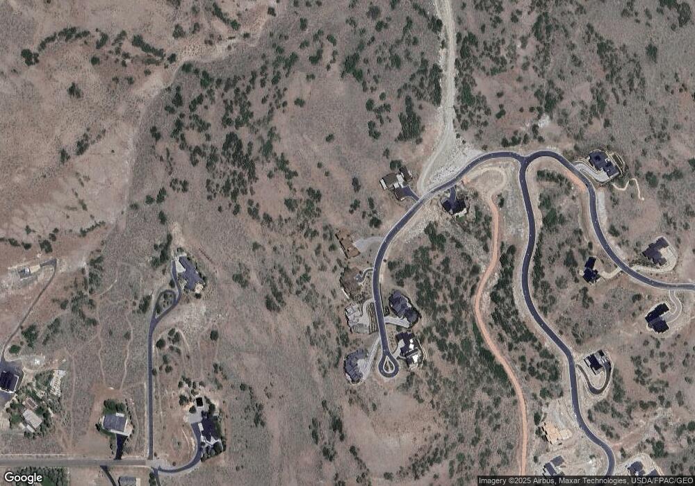
Map
Nearby Homes
- 1964 N Lookout Peak Cir
- 1964 N Lookout Peak Cir Unit 540
- 2005 N Lookout Peak Cir
- 2818 E Hayloft Ln Unit 213
- Tax Id 00-0008-2409
- 2894 E Hayloft Ln Unit 218
- 2894 E Hayloft Ln
- 2863 E Hayloft Ln Unit 255
- 2863 E Hayloft Ln
- 1952 W Osprey Ct Unit 4
- 1952 W Osprey Ct
- 2846 E Hayloft Ln Unit 215
- 2846 E Hayloft Ln
- 2862 E Hayloft Ln Unit 216
- 2862 E Hayloft Ln
- 6008 E Remuda Run Dr Unit 18
- 6008 E Remuda Run Dr
- 1878 N Chimney Rock Rd Unit 536
- 1878 N Chimney Rock Rd
- 2083 E Upper Lookout Knoll Ct
- 1971 N Lookout Peak Cir
- 1971 N Lookout Peak Cir
- 1964 N Lookout Peak Cir
- 1964 N Lookout Peak Cir
- 1964 N Lookout Peak Cir Unit 540
- 1947 N Lookout Peak Cir
- 1947 N Lookout Peak Cir Unit 547
- 1987 N Lookout Peak Cir
- 1987 N Lookout Peak Cir
- 1987 N Lookout Peak Cir Unit 549
- 1971 Lookout Peak Cir
- 1964 Lookout Peak Cir
- 2005 N Lookout Peak Cir
- 2005 N Lookout Peak Cir Unit 550
- 2005 N Lookout Peak Cir Unit 550
- 1925 N Lookout Peak Cir
- 1932 N Lookout Peak Cir
- 1932 N Lookout Peak Cir Unit 541
- 1932 N Lookout Peak Cir Unit 541
- 2026 N Lookout Peak Cir Unit 538