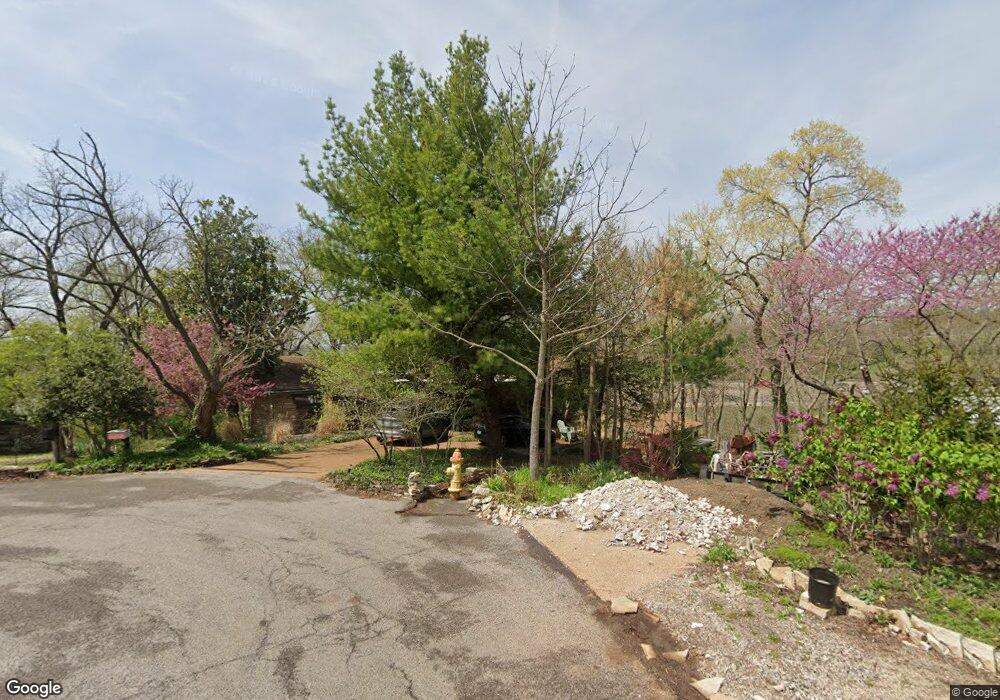
1971 N Signal Hills Dr Saint Louis, MO 63122
Estimated Value: $524,000 - $653,000
3
Beds
4
Baths
2,014
Sq Ft
$283/Sq Ft
Est. Value
About This Home
This home is located at 1971 N Signal Hills Dr, Saint Louis, MO 63122 and is currently estimated at $570,419, approximately $283 per square foot. 1971 N Signal Hills Dr is a home located in St. Louis County with nearby schools including George R. Robinson Elementary School, Nipher Middle School, and Kirkwood Senior High School.
Ownership History
Date
Name
Owned For
Owner Type
Purchase Details
Closed on
May 15, 2020
Sold by
Spurr Julie M and Testa Anselmo J
Bought by
Spurr Julie M and Testa Anselmo J
Current Estimated Value
Home Financials for this Owner
Home Financials are based on the most recent Mortgage that was taken out on this home.
Original Mortgage
$346,500
Outstanding Balance
$306,466
Interest Rate
3.2%
Mortgage Type
Construction
Estimated Equity
$263,953
Purchase Details
Closed on
May 21, 2008
Sold by
Spurr Julie M and Wightman Julie M
Bought by
Spurr Julie M
Home Financials for this Owner
Home Financials are based on the most recent Mortgage that was taken out on this home.
Original Mortgage
$160,000
Interest Rate
5.89%
Mortgage Type
New Conventional
Purchase Details
Closed on
May 27, 2005
Sold by
Wightman Mark
Bought by
Wightman Julie M
Create a Home Valuation Report for This Property
The Home Valuation Report is an in-depth analysis detailing your home's value as well as a comparison with similar homes in the area
Home Values in the Area
Average Home Value in this Area
Purchase History
| Date | Buyer | Sale Price | Title Company |
|---|---|---|---|
| Spurr Julie M | -- | Orntic St Louis | |
| Spurr Julie M | -- | Clt | |
| Wightman Julie M | -- | -- |
Source: Public Records
Mortgage History
| Date | Status | Borrower | Loan Amount |
|---|---|---|---|
| Open | Spurr Julie M | $346,500 | |
| Closed | Spurr Julie M | $160,000 |
Source: Public Records
Tax History Compared to Growth
Tax History
| Year | Tax Paid | Tax Assessment Tax Assessment Total Assessment is a certain percentage of the fair market value that is determined by local assessors to be the total taxable value of land and additions on the property. | Land | Improvement |
|---|---|---|---|---|
| 2025 | $5,584 | $100,890 | $68,040 | $32,850 |
| 2024 | $5,584 | $90,330 | $47,410 | $42,920 |
| 2023 | $5,496 | $90,330 | $47,410 | $42,920 |
| 2022 | $3,867 | $59,300 | $52,140 | $7,160 |
| 2021 | $3,816 | $59,300 | $52,140 | $7,160 |
| 2020 | $3,509 | $52,440 | $51,070 | $1,370 |
| 2019 | $3,545 | $52,440 | $51,070 | $1,370 |
| 2018 | $3,232 | $42,220 | $27,130 | $15,090 |
| 2017 | $3,228 | $42,220 | $27,130 | $15,090 |
| 2016 | $3,087 | $40,700 | $23,710 | $16,990 |
| 2015 | $3,050 | $40,700 | $23,710 | $16,990 |
| 2014 | $2,735 | $35,700 | $12,310 | $23,390 |
Source: Public Records
Map
Nearby Homes
- 1889 N Signal Hills Dr
- 12243 Old Big Bend Rd
- 52 Tbb Ponca Trail
- 1001 Barberry Ln
- 11922 Big Bend Rd
- 36 Ponca Trail
- 40 Ponca Trail
- 128 Sweetbriar Ln
- 56 Ponca Trail
- 726 S Ballas Rd
- 1920 Hunting Lake Ct Unit 202
- 1010 Station Bend Ln
- 1931 Greenglen Dr Unit 301
- 1926 Hunting Lake Ct Unit 304
- 1951 Greenpoint Dr Unit 103
- 1968 Greenglen Dr Unit 102
- 1924 Greenglen Dr Unit 101
- 1932 Green Glen Dr Unit 304
- 602 S Ballas Rd
- 2350 Maybrook Ln
- 1964 N Signal Hills Dr
- 1965 N Signal Hills Dr
- 1955 N Signal Hills Dr
- 1956 N Signal Hills Dr
- 1946 N Signal Hills Dr
- 1947 N Signal Hills Dr
- 1936 N Signal Hills Dr
- 1939 N Signal Hills Dr
- 1939 N Signal Hills Dr
- 1931 N Signal Hills Dr
- 1967 S Signal Hills Dr
- 1916 N Signal Hills Dr
- 1923 N Signal Hills Dr
- 1961 S Signal Hills Dr
- 1945 S Signal Hills Dr
- 1250 S Glenwood Ln
- 1911 N Signal Hills Dr
- 1925 S Signal Hills Dr
- 1906 N Signal Hills Dr
- 1234 S Glenwood Ln