1971 Old Logan Rd SE Lancaster, OH 43130
Estimated Value: $203,000 - $322,000
3
Beds
2
Baths
1,272
Sq Ft
$207/Sq Ft
Est. Value
About This Home
This home is located at 1971 Old Logan Rd SE, Lancaster, OH 43130 and is currently estimated at $263,333, approximately $207 per square foot. 1971 Old Logan Rd SE is a home with nearby schools including Berne Union Elementary School, Berne Union High School, and St Mary Elementary School.
Ownership History
Date
Name
Owned For
Owner Type
Purchase Details
Closed on
Oct 2, 2015
Sold by
Morris Paul E
Bought by
Bbt Enterprises Llc
Current Estimated Value
Purchase Details
Closed on
Feb 1, 2006
Sold by
Mcmillen Sandra and Mcmillen Donald
Bought by
Morris Paul E
Purchase Details
Closed on
Apr 21, 1992
Sold by
Mcmillen Sandra
Bought by
Mcmillen Sandra
Purchase Details
Closed on
Feb 12, 1992
Sold by
Mckibben Pauline
Bought by
Mcmillen Sandra
Create a Home Valuation Report for This Property
The Home Valuation Report is an in-depth analysis detailing your home's value as well as a comparison with similar homes in the area
Home Values in the Area
Average Home Value in this Area
Purchase History
| Date | Buyer | Sale Price | Title Company |
|---|---|---|---|
| Bbt Enterprises Llc | $31,000 | None Available | |
| Morris Paul E | $60,000 | Lawyers Title Agency Of Lanc | |
| Mcmillen Sandra | $5,300 | -- | |
| Mcmillen Sandra | -- | -- |
Source: Public Records
Tax History Compared to Growth
Tax History
| Year | Tax Paid | Tax Assessment Tax Assessment Total Assessment is a certain percentage of the fair market value that is determined by local assessors to be the total taxable value of land and additions on the property. | Land | Improvement |
|---|---|---|---|---|
| 2024 | $6,021 | $83,390 | $14,490 | $68,900 |
| 2023 | $2,929 | $83,390 | $14,490 | $68,900 |
| 2022 | $2,926 | $83,390 | $14,490 | $68,900 |
| 2021 | $2,407 | $62,610 | $12,600 | $50,010 |
| 2020 | $2,416 | $62,610 | $12,600 | $50,010 |
| 2019 | $2,422 | $62,610 | $12,600 | $50,010 |
| 2018 | $757 | $16,710 | $13,440 | $3,270 |
| 2017 | $666 | $18,740 | $13,440 | $5,300 |
| 2016 | $655 | $18,740 | $13,440 | $5,300 |
| 2015 | $666 | $18,740 | $13,440 | $5,300 |
| 2014 | $631 | $18,740 | $13,440 | $5,300 |
| 2013 | $631 | $18,740 | $13,440 | $5,300 |
Source: Public Records
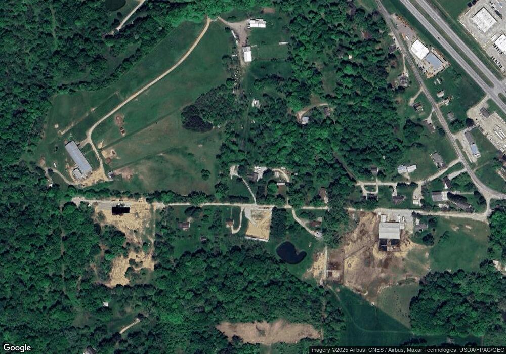
Map
Nearby Homes
- 959 Lane St
- 767 S Maple St
- 915 3rd St
- 810 4th St
- 1406 S Broad St
- 0 Bis Rd SW Unit 225005143
- 0 Hamburg Rd SW
- 0 Hornbeck Ave
- 126 Twin Creek Way
- 855 S Broad St
- 1905 Sugar Grove Rd SE
- 303 Spring St
- 233 Lewis Ave
- 308 Wheat St
- 403 Reese Ave
- 507 W Hubert Ave
- 403 S Ewing St
- 1106 E Walnut St
- 0 Mill Rd SW
- 1112 E Chestnut St
- 1925 Old Logan Rd SE
- 2005 Old Logan Rd SE
- 680 Deeds Terrace SE
- 695 Deeds Terrace SE
- 710 Deeds Terrace SE
- 2001 Old Logan Rd SE
- 2001 Old Logan Rd SE
- 2001 Old Logan Rd SE
- 745 Deeds Terrace SE
- 750 Deeds Terrace SE
- 1973 Old Logan Rd SE
- 1895 Old Logan Rd SE
- 1865 Old Logan Rd SE
- 1845 Old Logan Rd SE
- 1915 Old Logan Rd SE
- 1935 Old Logan Rd SE
- 1795 Old Logan Rd SE
- 1815 Old Logan Rd SE
- 1870 Old Logan Rd SE
- 1890 Old Logan Rd SE