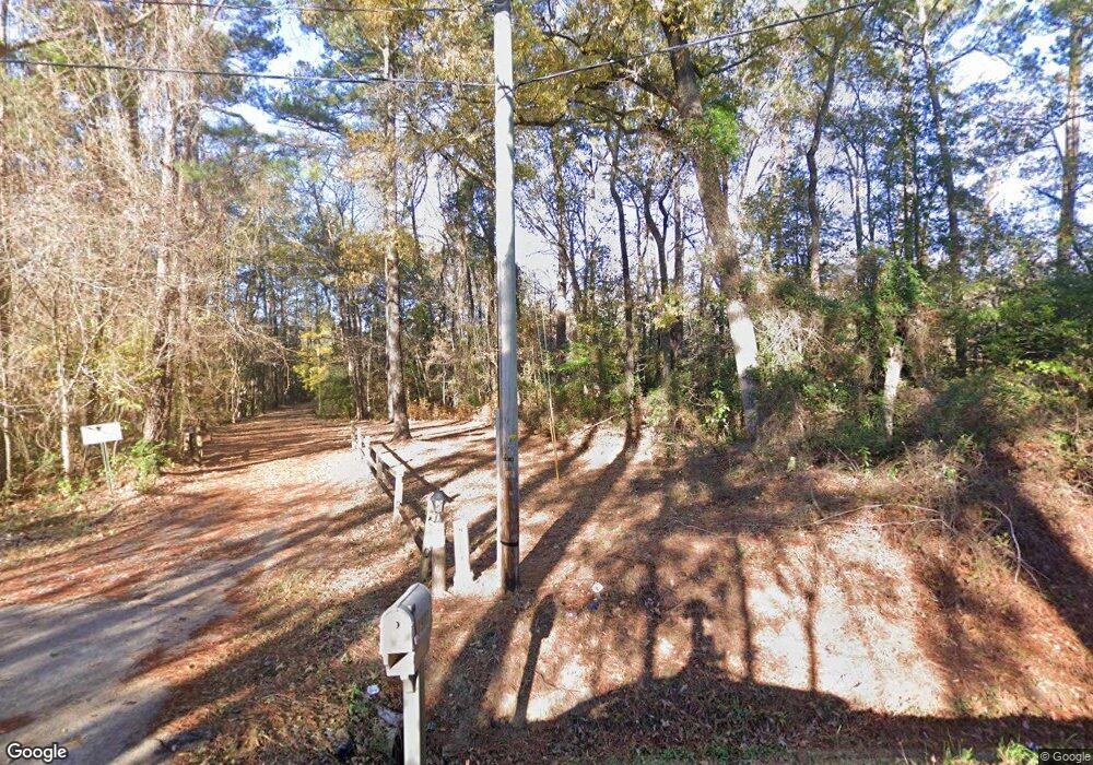
1971 Steritt Swamp Rd Unit 1971 Steritt Swamp R Conway, SC 29526
Estimated Value: $348,631 - $754,000
3
Beds
3
Baths
3,700
Sq Ft
$124/Sq Ft
Est. Value
About This Home
This home is located at 1971 Steritt Swamp Rd Unit 1971 Steritt Swamp R, Conway, SC 29526 and is currently estimated at $457,158, approximately $123 per square foot. 1971 Steritt Swamp Rd Unit 1971 Steritt Swamp R is a home located in Horry County with nearby schools including Waccamaw Elementary School, Black Water Middle School, and Carolina Forest High School.
Ownership History
Date
Name
Owned For
Owner Type
Purchase Details
Closed on
Feb 14, 2017
Sold by
Corri Steven R
Bought by
Parker Christopher E and Parker Susan C
Current Estimated Value
Purchase Details
Closed on
Aug 4, 2005
Sold by
West Barry and West Acie
Bought by
Corri Steven R
Purchase Details
Closed on
Jul 22, 1999
Sold by
West Acie and West Wanda J
Bought by
West Barry
Home Financials for this Owner
Home Financials are based on the most recent Mortgage that was taken out on this home.
Original Mortgage
$30,000
Interest Rate
7.66%
Mortgage Type
Purchase Money Mortgage
Purchase Details
Closed on
May 27, 1998
Sold by
Jones Roland L and Jones Linda S
Bought by
West Acie and West Wanda J
Home Financials for this Owner
Home Financials are based on the most recent Mortgage that was taken out on this home.
Original Mortgage
$30,000
Interest Rate
7.23%
Mortgage Type
Unknown
Create a Home Valuation Report for This Property
The Home Valuation Report is an in-depth analysis detailing your home's value as well as a comparison with similar homes in the area
Home Values in the Area
Average Home Value in this Area
Purchase History
| Date | Buyer | Sale Price | Title Company |
|---|---|---|---|
| Parker Christopher E | $265,000 | None Available | |
| Corri Steven R | $225,000 | -- | |
| West Barry | $37,500 | -- | |
| West Acie | $127,500 | -- |
Source: Public Records
Mortgage History
| Date | Status | Borrower | Loan Amount |
|---|---|---|---|
| Previous Owner | West Barry | $30,000 | |
| Previous Owner | West Acie | $30,000 | |
| Previous Owner | West Acie | $102,000 |
Source: Public Records
Tax History Compared to Growth
Tax History
| Year | Tax Paid | Tax Assessment Tax Assessment Total Assessment is a certain percentage of the fair market value that is determined by local assessors to be the total taxable value of land and additions on the property. | Land | Improvement |
|---|---|---|---|---|
| 2024 | $806 | $13,087 | $5,176 | $7,911 |
| 2023 | $806 | $10,177 | $2,097 | $8,080 |
| 2021 | $2,255 | $7,352 | $1,440 | $5,912 |
| 2020 | $635 | $7,352 | $1,440 | $5,912 |
| 2019 | $635 | $7,352 | $1,440 | $5,912 |
| 2018 | $573 | $5,900 | $1,240 | $4,660 |
| 2017 | $1,493 | $4,588 | $1,240 | $3,348 |
| 2016 | $0 | $6,882 | $1,860 | $5,022 |
| 2015 | -- | $6,882 | $1,860 | $5,022 |
| 2014 | $1,443 | $6,882 | $1,860 | $5,022 |
Source: Public Records
Map
Nearby Homes
- 2326 Highway 90 Unit tbd Hwy 90
- 408 Carmello Cir
- 388 Carmello Cir
- 383 Carmello Cir
- 240 Carmello Cir
- 2143 Lonzy Ln
- 1351 Highway 90
- 2815 Confederate Dr
- 268 Carmello Cir
- 1342 Highway 90 Unit Lot 2
- 1342 Highway 90 Unit All Lots
- 1342 Highway 90 Unit Lot 3
- 2027 Lees Landing Cir
- 2031 Lees Landing Cir
- 2505 Suzanne Dr
- 1310 Boswell Ct Unit Boswell Ct
- 1191 Highway 90
- 757 Lambeth Ln
- 1817 Wood Stork Dr
- 733 Lambeth Ln
- 1971 Steritt Swamp Rd
- 1875 Highway 90
- 1994 Steritt Swamp Rd
- 1994 Steritt Swamp Rd Unit Lot 5
- 1994 Steritt Swamp Rd Unit Lot 4
- 1994 Steritt Swamp Rd
- 2003 Highway 90
- 1991 Highway 90
- 2000 Steritt Swamp Rd Unit Lot 5
- 2000 Steritt Swamp Rd Unit LOT 4
- 2000 Steritt Swamp Rd
- 2040 Highway 90
- 2057 Highway 90
- 1943 Highway 90
- 2052 Sterritt Swamp Rd
- 1858 Highway 90
- 1367 Burriss Rd
- 1389 Burriss Rd
- 2075 Highway 90
- 2077 Highway 90
