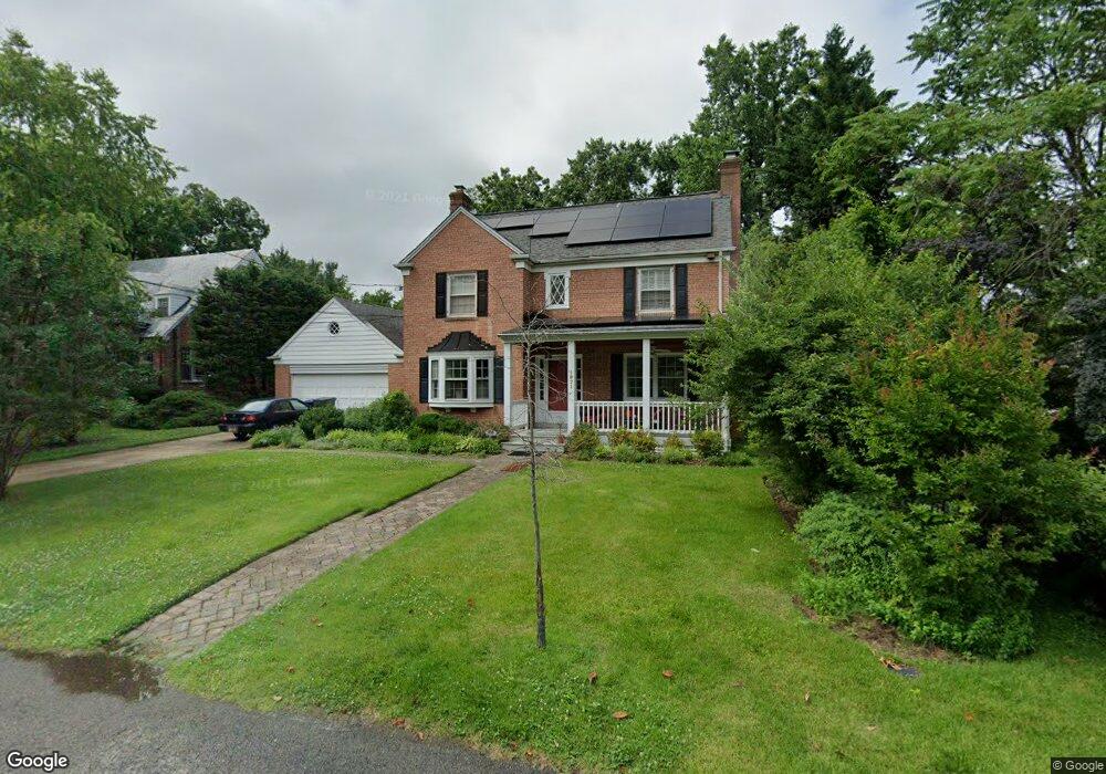
1971 Upshur St NW Washington, DC 20011
Crestwood NeighborhoodEstimated Value: $1,565,715 - $1,925,000
3
Beds
4
Baths
3,292
Sq Ft
$519/Sq Ft
Est. Value
About This Home
This home is located at 1971 Upshur St NW, Washington, DC 20011 and is currently estimated at $1,709,429, approximately $519 per square foot. 1971 Upshur St NW is a home located in District of Columbia with nearby schools including Powell Elementary School, MacFarland Middle School, and Roosevelt High School @ MacFarland.
Ownership History
Date
Name
Owned For
Owner Type
Purchase Details
Closed on
May 20, 2021
Sold by
Chutkan Tanya S and Krauthamer Peter A
Bought by
Chutkan Tanya S
Current Estimated Value
Home Financials for this Owner
Home Financials are based on the most recent Mortgage that was taken out on this home.
Original Mortgage
$510,000
Interest Rate
2.9%
Mortgage Type
New Conventional
Purchase Details
Closed on
Aug 30, 1995
Sold by
Robinson Darrie M
Bought by
Chutkan Tanya S
Home Financials for this Owner
Home Financials are based on the most recent Mortgage that was taken out on this home.
Original Mortgage
$260,000
Interest Rate
7.61%
Create a Home Valuation Report for This Property
The Home Valuation Report is an in-depth analysis detailing your home's value as well as a comparison with similar homes in the area
Home Values in the Area
Average Home Value in this Area
Tax History Compared to Growth
Tax History
| Year | Tax Paid | Tax Assessment Tax Assessment Total Assessment is a certain percentage of the fair market value that is determined by local assessors to be the total taxable value of land and additions on the property. | Land | Improvement |
|---|---|---|---|---|
| 2024 | $13,493 | $1,674,510 | $630,890 | $1,043,620 |
| 2023 | $12,829 | $1,593,290 | $598,840 | $994,450 |
| 2022 | $11,753 | $1,461,440 | $547,060 | $914,380 |
| 2021 | $11,441 | $1,422,290 | $538,930 | $883,360 |
| 2020 | $11,081 | $1,379,290 | $502,310 | $876,980 |
| 2019 | $10,812 | $1,346,900 | $489,230 | $857,670 |
| 2018 | $10,313 | $1,286,660 | $0 | $0 |
| 2017 | $9,855 | $1,231,820 | $0 | $0 |
| 2016 | $9,572 | $1,197,810 | $0 | $0 |
| 2015 | $9,272 | $1,162,230 | $0 | $0 |
| 2014 | $8,894 | $1,116,500 | $0 | $0 |
Source: Public Records
Map
Nearby Homes
- 2055 Trumbull Terrace NW
- 4218 Blagden Ave NW
- 1755 Upshur St NW
- 4358 Argyle Terrace NW
- 1724 Varnum St NW
- 1739 Shepherd St NW
- 1724 Taylor St NW
- 4601 Blagden Ave NW
- 5906 17th St NW
- 4606 Blagden Terrace NW
- 4016 Linnean Ave NW
- 2325 Porter St NW
- 4613 Colorado Ave NW
- 3524 Williamsburg Ln NW
- 4628 Blagden Terrace NW
- 1829 Monroe St NW
- 1610 Crittenden St NW
- 1713 Newton St NW
- 4600 16th St NW
- 1708 Newton St NW Unit 104
- 1975 Upshur St NW
- 2000 Trumbull Terrace NW
- 2020 Trumbull Terrace NW
- 2040 Trumbull Terrace NW
- 1981 Upshur St NW
- 2044 Trumbull Terrace NW
- 1980 Upshur St NW
- 1962 Upshur St NW
- 1935 Upshur St NW
- 2007 Trumbull Terrace NW
- 2025 Trumbull Terrace NW
- 1939 Shepherd St NW
- 1990 Shepherd St NW
- 2027 Trumbull Terrace NW
- 2035 Trumbull Terrace NW
- 1925 Shepherd St NW
- 1950 Upshur St NW
- 2029 Trumbull Terrace NW
- 1985 Upshur St NW
- 1929 Upshur St NW