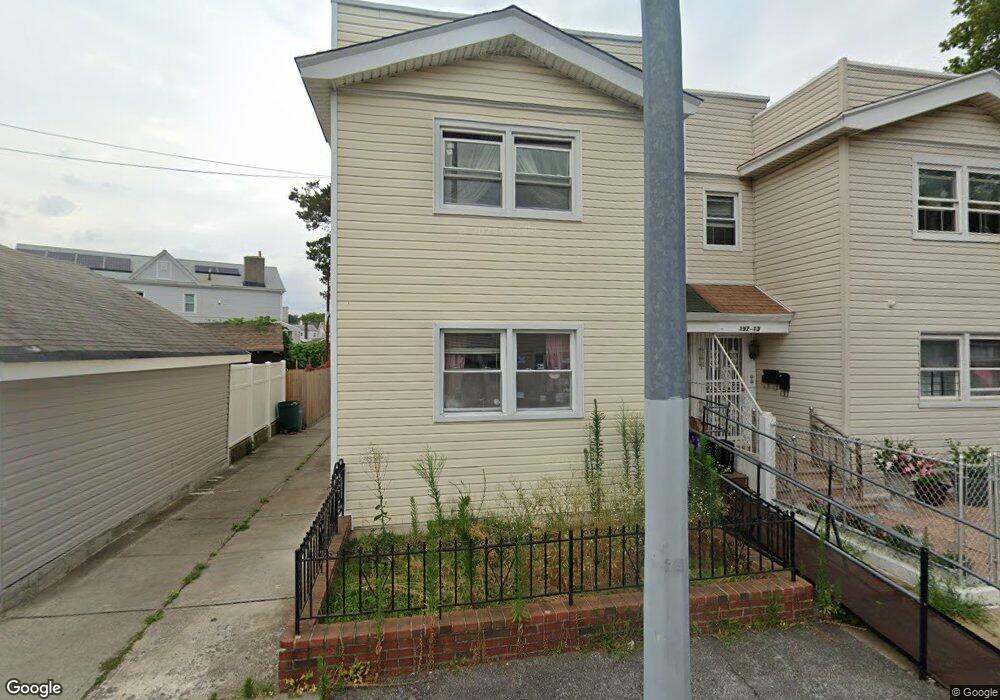
19711 91st Rd Hollis, NY 11423
Hollis NeighborhoodEstimated Value: $806,000 - $929,400
--
Bed
--
Bath
1,936
Sq Ft
$459/Sq Ft
Est. Value
About This Home
This home is located at 19711 91st Rd, Hollis, NY 11423 and is currently estimated at $887,850, approximately $458 per square foot. 19711 91st Rd is a home located in Queens County with nearby schools including P.S. 35 Nathaniel Woodhull, I.S. 238 Susan B Anthony Academy, and Wellspring Elementary & Middle.
Ownership History
Date
Name
Owned For
Owner Type
Purchase Details
Closed on
Feb 27, 2025
Sold by
Jennifer Alexander As Trustee and Medicaid Irrevocable Trust Of Santiago
Bought by
Hossain Showrav and Khatun Sakina
Current Estimated Value
Home Financials for this Owner
Home Financials are based on the most recent Mortgage that was taken out on this home.
Original Mortgage
$720,000
Outstanding Balance
$715,143
Interest Rate
6.96%
Mortgage Type
Purchase Money Mortgage
Estimated Equity
$172,707
Purchase Details
Closed on
Aug 13, 1997
Sold by
Phuros Louis and Phuros Salua
Bought by
Santiago Eileen P and Persaud Neil
Home Financials for this Owner
Home Financials are based on the most recent Mortgage that was taken out on this home.
Original Mortgage
$100,000
Interest Rate
7.52%
Create a Home Valuation Report for This Property
The Home Valuation Report is an in-depth analysis detailing your home's value as well as a comparison with similar homes in the area
Home Values in the Area
Average Home Value in this Area
Purchase History
| Date | Buyer | Sale Price | Title Company |
|---|---|---|---|
| Hossain Showrav | $900,000 | -- | |
| Hossain Showrav | $900,000 | -- | |
| Santiago Eileen P | $202,500 | Commonwealth Land Title Ins | |
| Santiago Eileen P | $202,500 | Commonwealth Land Title Ins |
Source: Public Records
Mortgage History
| Date | Status | Borrower | Loan Amount |
|---|---|---|---|
| Open | Hossain Showrav | $720,000 | |
| Closed | Hossain Showrav | $720,000 | |
| Previous Owner | Santiago Eileen P | $100,000 |
Source: Public Records
Tax History Compared to Growth
Tax History
| Year | Tax Paid | Tax Assessment Tax Assessment Total Assessment is a certain percentage of the fair market value that is determined by local assessors to be the total taxable value of land and additions on the property. | Land | Improvement |
|---|---|---|---|---|
| 2025 | $7,040 | $38,635 | $12,908 | $25,727 |
| 2024 | $7,321 | $36,449 | $11,758 | $24,691 |
| 2023 | $6,625 | $34,387 | $11,502 | $22,885 |
| 2022 | $6,309 | $48,840 | $17,400 | $31,440 |
| 2021 | $6,658 | $45,360 | $17,400 | $27,960 |
| 2020 | $6,519 | $39,000 | $17,400 | $21,600 |
| 2019 | $6,061 | $36,240 | $17,400 | $18,840 |
| 2018 | $5,544 | $28,656 | $12,765 | $15,891 |
| 2017 | $5,314 | $27,536 | $13,489 | $14,047 |
| 2016 | $5,195 | $27,536 | $13,489 | $14,047 |
| 2015 | $2,913 | $26,830 | $15,794 | $11,036 |
| 2014 | $2,913 | $25,312 | $17,051 | $8,261 |
Source: Public Records
Map
Nearby Homes
- 90-35 198th St
- 89-48 196th St
- 9317 197th St
- 197-21 Carpenter Ave Unit 1G
- 197-31 Carpenter Ave
- 9051 201st St
- 94-72 199th St
- 92-22 195th Place
- 93-17 201st St
- 9302 202nd St
- 19515 Woodhull Ave
- 19511 Woodhull Ave
- 9141 195th St
- 8925 201st St
- 9048 204th St
- 90-62 204th St
- 88-27 196th St
- 93-45 202nd St
- 88-38 201st St
- 88-44 202nd St
- 19713 91st Rd
- 19715 91st Rd
- 9107 197th St
- 9109 197th St
- 197-15 91st Rd
- 9115 197th St
- 19719 91st Rd
- 9105 197th St
- 91-09 197th St
- 19721 91st Rd
- 197-21 91st Rd Unit 2nd FL
- 197-21 91st Rd
- 9103 197th St
- 19723 91st Rd
- 19723 91st Rd
- 90-33 197th St Unit 2
- 9033 197th St Unit 1
- 9033 197th St
- 19712 91st Rd
- 19714 91st Rd