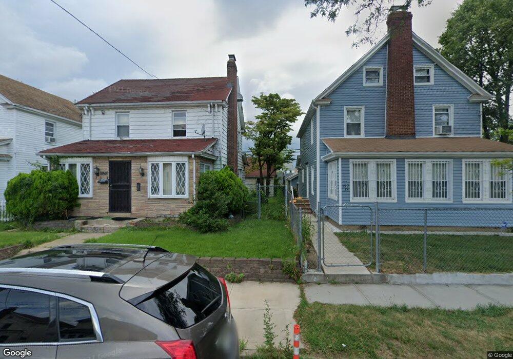
19715 99th Rd Hollis, NY 11423
Hollis NeighborhoodEstimated Value: $715,653 - $783,000
--
Bed
--
Bath
1,684
Sq Ft
$449/Sq Ft
Est. Value
About This Home
This home is located at 19715 99th Rd, Hollis, NY 11423 and is currently estimated at $755,413, approximately $448 per square foot. 19715 99th Rd is a home located in Queens County with nearby schools including P.S. 118 Lorraine Hansberry, I.S. 192 The Linden, and Wellspring Elementary & Middle.
Ownership History
Date
Name
Owned For
Owner Type
Purchase Details
Closed on
Jun 13, 2025
Sold by
Avila Luzuriaga Jaime A
Bought by
Jaal Family Trust and Jamie Jabier Avila Trustee
Current Estimated Value
Purchase Details
Closed on
Apr 8, 2022
Sold by
Estate Of Reginald L Portee and Rhonda Portee As Administrator
Bought by
Avila Luzuriaga Jaime A
Home Financials for this Owner
Home Financials are based on the most recent Mortgage that was taken out on this home.
Original Mortgage
$259,600
Interest Rate
3.85%
Mortgage Type
Purchase Money Mortgage
Create a Home Valuation Report for This Property
The Home Valuation Report is an in-depth analysis detailing your home's value as well as a comparison with similar homes in the area
Home Values in the Area
Average Home Value in this Area
Purchase History
| Date | Buyer | Sale Price | Title Company |
|---|---|---|---|
| Jaal Family Trust | -- | -- | |
| Avila Luzuriaga Jaime A | $649,000 | -- |
Source: Public Records
Mortgage History
| Date | Status | Borrower | Loan Amount |
|---|---|---|---|
| Previous Owner | Avila Luzuriaga Jaime A | $259,600 |
Source: Public Records
Tax History Compared to Growth
Tax History
| Year | Tax Paid | Tax Assessment Tax Assessment Total Assessment is a certain percentage of the fair market value that is determined by local assessors to be the total taxable value of land and additions on the property. | Land | Improvement |
|---|---|---|---|---|
| 2025 | $5,592 | $28,823 | $8,026 | $20,797 |
| 2024 | $4,209 | $27,840 | $8,323 | $19,517 |
| 2023 | $5,276 | $26,266 | $7,215 | $19,051 |
| 2022 | $5,082 | $36,960 | $12,180 | $24,780 |
| 2021 | $5,055 | $35,400 | $12,180 | $23,220 |
| 2020 | $5,084 | $31,260 | $12,180 | $19,080 |
| 2019 | $4,853 | $30,060 | $12,180 | $17,880 |
| 2018 | $4,462 | $21,888 | $10,707 | $11,181 |
| 2017 | $4,325 | $21,216 | $10,821 | $10,395 |
| 2016 | $4,001 | $21,216 | $10,821 | $10,395 |
| 2015 | $2,414 | $20,016 | $11,629 | $8,387 |
| 2014 | $2,414 | $19,334 | $11,971 | $7,363 |
Source: Public Records
Map
Nearby Homes
- 19611 100th Ave
- 19907 100th Ave
- 197-31 Carpenter Ave
- 197-21 Carpenter Ave Unit 1G
- 9317 197th St
- 99-11 200th St
- 94-72 199th St
- 100-32 199th St
- 19515 Woodhull Ave
- 19511 Woodhull Ave
- 92-22 195th Place
- 10411 200th St
- 104-28 201st St
- 104-39 199th St
- 10445 198th St
- 93-17 201st St
- 194-10 Hollis Ave
- 19624 90th Ave
- 104-38 202nd St
- 93-45 202nd St
- 197-15 99th Rd
- 19719 99th Rd
- 19711 99th Rd
- 197-19 99th Rd
- 197-11 99th Rd
- 197-20 99th Rd
- 197-08 99th Rd
- 19707 99th Rd
- 19707 99th Rd
- 19703 99th Rd
- 197-03 99th Rd
- 198 -51 Foothill Ave
- 19703 99th Rd
- 197-12 99th Rd Unit 2
- 197-12 99th Rd
- 99-03 198th St
- 9909 198th St
- 19720 99th Rd
- 19712 99th Rd
- 99-07 198th St