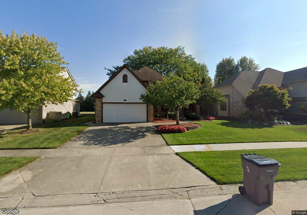
19716 Shorecrest Dr Clinton Township, MI 48038
Estimated Value: $427,202 - $452,000
--
Bed
1
Bath
2,304
Sq Ft
$190/Sq Ft
Est. Value
About This Home
This home is located at 19716 Shorecrest Dr, Clinton Township, MI 48038 and is currently estimated at $438,051, approximately $190 per square foot. 19716 Shorecrest Dr is a home located in Macomb County with nearby schools including Cherokee Elementary School, Wyandot Middle School, and Chippewa Valley High School.
Ownership History
Date
Name
Owned For
Owner Type
Purchase Details
Closed on
Nov 4, 1994
Sold by
Randy M Deprez Custom Bu
Bought by
Miller Donald W and Miller Jean A
Current Estimated Value
Home Financials for this Owner
Home Financials are based on the most recent Mortgage that was taken out on this home.
Original Mortgage
$180,000
Interest Rate
8.86%
Mortgage Type
New Conventional
Create a Home Valuation Report for This Property
The Home Valuation Report is an in-depth analysis detailing your home's value as well as a comparison with similar homes in the area
Home Values in the Area
Average Home Value in this Area
Purchase History
| Date | Buyer | Sale Price | Title Company |
|---|---|---|---|
| Miller Donald W | $201,320 | -- |
Source: Public Records
Mortgage History
| Date | Status | Borrower | Loan Amount |
|---|---|---|---|
| Closed | Miller Donald W | $180,000 |
Source: Public Records
Tax History Compared to Growth
Tax History
| Year | Tax Paid | Tax Assessment Tax Assessment Total Assessment is a certain percentage of the fair market value that is determined by local assessors to be the total taxable value of land and additions on the property. | Land | Improvement |
|---|---|---|---|---|
| 2025 | $6,143 | $233,300 | $0 | $0 |
| 2024 | $3,660 | $219,600 | $0 | $0 |
| 2023 | $3,472 | $192,800 | $0 | $0 |
| 2022 | $5,566 | $171,900 | $0 | $0 |
| 2021 | $5,413 | $162,400 | $0 | $0 |
| 2020 | $3,185 | $160,600 | $0 | $0 |
| 2019 | $5,042 | $155,600 | $0 | $0 |
| 2018 | $4,938 | $145,700 | $0 | $0 |
| 2017 | $4,894 | $138,600 | $28,400 | $110,200 |
| 2016 | $4,863 | $138,600 | $0 | $0 |
| 2015 | -- | $131,100 | $0 | $0 |
| 2014 | -- | $123,400 | $0 | $0 |
| 2011 | -- | $114,400 | $23,600 | $90,800 |
Source: Public Records
Map
Nearby Homes
- 43274 Hillsboro Dr
- 43363 Herring Dr
- 43377 Rivergate Dr
- 43373 Brooks Dr
- 19118 Killeen Dr
- 42680 Chippewa Dr Unit 28
- 0 Clinton River Rd Unit 20251013874
- 19790 Westchester Dr Unit 11
- 20465 Saint Laurence Dr
- 43673 Welland Dr
- 42002 Coulon Dr
- 43852 Columbia Dr
- 20561 Longwood Dr Unit 64
- 41992 Merrimac Cir
- 18960 Sandhurst Dr
- 42407 Creekside Dr Unit 165
- 42266 Brookview Ln Unit 1
- 44192 Rivergate Dr
- 41985 Dorchester Ct
- 44130 Cadburry Dr
- 19740 Shorecrest Dr
- 19692 Shorecrest Dr
- 19764 Shorecrest Dr
- 19668 Shorecrest Dr
- 19788 Shorecrest Dr
- 19719 Shorecrest Dr
- 19695 Shorecrest Dr
- 19745 Shorecrest Dr
- 19836 Apache Dr
- 19671 Shorecrest Dr
- 19771 Shorecrest Dr
- 43025 Wharf Dr
- 19618 Shorecrest Dr
- 19816 Shorecrest Dr
- 19872 Apache Dr
- 19637 Shorecrest Dr
- 19793 Shorecrest Dr
- 19908 Apache Dr
- 42975 Tonquish Dr
- 19684 Driftwood Dr