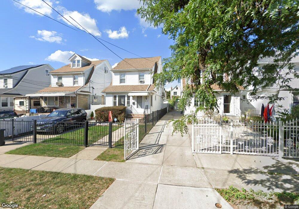
19719 89th Rd Hollis, NY 11423
Hollis NeighborhoodEstimated Value: $692,000 - $839,000
Studio
--
Bath
1,336
Sq Ft
$574/Sq Ft
Est. Value
About This Home
This home is located at 19719 89th Rd, Hollis, NY 11423 and is currently estimated at $766,826, approximately $573 per square foot. 19719 89th Rd is a home located in Queens County with nearby schools including P.S. 35 Nathaniel Woodhull, I.S. 238 Susan B Anthony Academy, and The Wellspring Schools.
Ownership History
Date
Name
Owned For
Owner Type
Purchase Details
Closed on
Jun 25, 2002
Sold by
Charleswell Fernando and Charleswell Ida
Bought by
Algu Nankoomar and Algu Udister
Current Estimated Value
Home Financials for this Owner
Home Financials are based on the most recent Mortgage that was taken out on this home.
Original Mortgage
$155,000
Interest Rate
6.57%
Create a Home Valuation Report for This Property
The Home Valuation Report is an in-depth analysis detailing your home's value as well as a comparison with similar homes in the area
Home Values in the Area
Average Home Value in this Area
Purchase History
| Date | Buyer | Sale Price | Title Company |
|---|---|---|---|
| Algu Nankoomar | -- | -- |
Source: Public Records
Mortgage History
| Date | Status | Borrower | Loan Amount |
|---|---|---|---|
| Previous Owner | Algu Nankoomar | $155,000 |
Source: Public Records
Tax History
| Year | Tax Paid | Tax Assessment Tax Assessment Total Assessment is a certain percentage of the fair market value that is determined by local assessors to be the total taxable value of land and additions on the property. | Land | Improvement |
|---|---|---|---|---|
| 2025 | $6,022 | $33,212 | $11,868 | $21,344 |
| 2024 | $6,035 | $31,385 | $10,532 | $20,853 |
| 2023 | $5,677 | $29,665 | $9,667 | $19,998 |
| 2022 | $5,377 | $41,100 | $14,880 | $26,220 |
| 2021 | $5,675 | $36,300 | $14,880 | $21,420 |
| 2020 | $5,562 | $34,620 | $14,880 | $19,740 |
| 2019 | $5,178 | $31,320 | $14,880 | $16,440 |
| 2018 | $4,742 | $24,721 | $11,611 | $13,110 |
| 2017 | $4,520 | $23,644 | $12,476 | $11,168 |
| 2016 | $4,417 | $23,644 | $12,476 | $11,168 |
| 2015 | $2,471 | $23,064 | $13,778 | $9,286 |
| 2014 | $2,471 | $21,795 | $13,397 | $8,398 |
Source: Public Records
Map
Nearby Homes
- 19804 90th Ave
- 88-48 201st St
- 89-25 201st St
- 88-44 202nd St
- 91-16 196th St
- 9051 201st St
- 196-33 Foothill Ave
- 19633 Foothill Ave
- 9031 204th St
- 87-44 Marengo St Unit 2A
- 9302 202nd St
- 196-35 Dunton Ave Unit 1
- 9020 205th St
- 89-35 205th St
- 8919 205th St
- 90-62 204th St
- 196-04 Pompeii Ave Unit 2
- 87-24 Marengo St Unit 2B
- 93-19 201st St
- 92-22 195th Place
Your Personal Tour Guide
Ask me questions while you tour the home.