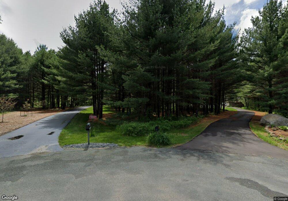
1972 62nd St Somerset, WI 54025
Estimated Value: $635,000 - $993,000
6
Beds
4
Baths
--
Sq Ft
4.64
Acres
About This Home
This home is located at 1972 62nd St, Somerset, WI 54025 and is currently estimated at $840,388. 1972 62nd St is a home located in St. Croix County with nearby schools including Somerset Elementary School, Somerset Middle School, and Somerset High School.
Ownership History
Date
Name
Owned For
Owner Type
Purchase Details
Closed on
Oct 16, 2019
Sold by
Parnell Clint J and Parnell Shontel M
Bought by
Ward Hugh D and Runde Sarah K
Current Estimated Value
Home Financials for this Owner
Home Financials are based on the most recent Mortgage that was taken out on this home.
Original Mortgage
$479,920
Outstanding Balance
$419,569
Interest Rate
3.4%
Mortgage Type
Construction
Estimated Equity
$420,819
Create a Home Valuation Report for This Property
The Home Valuation Report is an in-depth analysis detailing your home's value as well as a comparison with similar homes in the area
Home Values in the Area
Average Home Value in this Area
Purchase History
| Date | Buyer | Sale Price | Title Company |
|---|---|---|---|
| Ward Hugh D | $599,900 | Legacy Title |
Source: Public Records
Mortgage History
| Date | Status | Borrower | Loan Amount |
|---|---|---|---|
| Open | Ward Hugh D | $479,920 |
Source: Public Records
Tax History Compared to Growth
Tax History
| Year | Tax Paid | Tax Assessment Tax Assessment Total Assessment is a certain percentage of the fair market value that is determined by local assessors to be the total taxable value of land and additions on the property. | Land | Improvement |
|---|---|---|---|---|
| 2024 | $79 | $773,900 | $169,800 | $604,100 |
| 2023 | $8,362 | $773,900 | $169,800 | $604,100 |
| 2022 | $8,480 | $773,900 | $169,800 | $604,100 |
| 2021 | $8,550 | $551,900 | $108,200 | $443,700 |
| 2020 | $8,671 | $551,900 | $108,200 | $443,700 |
| 2019 | $7,956 | $551,900 | $108,200 | $443,700 |
| 2018 | $7,717 | $551,900 | $108,200 | $443,700 |
| 2017 | $8,030 | $551,900 | $108,200 | $443,700 |
| 2016 | $8,030 | $457,300 | $56,600 | $400,700 |
| 2015 | $7,564 | $457,300 | $56,600 | $400,700 |
| 2014 | $7,211 | $457,300 | $56,600 | $400,700 |
| 2013 | $7,243 | $457,300 | $56,600 | $400,700 |
Source: Public Records
Map
Nearby Homes
- 1986 57th St
- 1932 64th St
- 357 Harriman St
- 315 Harriman St
- 481 Martin Way
- 316 Evergreen Dr
- 441 White Pine Ln
- 441 Charles Ln
- 206 Red Pine Dr
- 6XX 205th Ave
- 325 Church Hill Rd
- The Rockport Plan at Pine Vale
- The Newport Plan at Pine Vale
- The Brook View Plan at Pine Vale
- The Cheyenne Plan at Pine Vale
- The Ashton Plan at Pine Vale
- The Waverly Plan at Pine Vale
- The Mulbery Plan at Pine Vale
- The Primrose Plan at Pine Vale
- The Water Stone Plan at Pine Vale