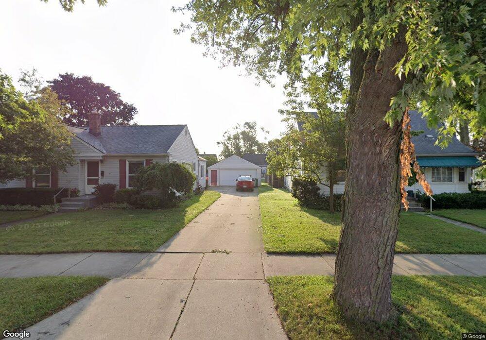
1972 Buckingham Ave Berkley, MI 48072
Estimated Value: $248,000 - $342,000
3
Beds
1
Bath
963
Sq Ft
$307/Sq Ft
Est. Value
About This Home
This home is located at 1972 Buckingham Ave, Berkley, MI 48072 and is currently estimated at $295,325, approximately $306 per square foot. 1972 Buckingham Ave is a home located in Oakland County with nearby schools including Angell Elementary School, Anderson Middle School, and Berkley High School.
Ownership History
Date
Name
Owned For
Owner Type
Purchase Details
Closed on
Aug 14, 2017
Sold by
Marcus Constance
Bought by
Robins Cathrine M
Current Estimated Value
Home Financials for this Owner
Home Financials are based on the most recent Mortgage that was taken out on this home.
Original Mortgage
$123,190
Outstanding Balance
$102,793
Interest Rate
3.96%
Mortgage Type
New Conventional
Estimated Equity
$192,532
Create a Home Valuation Report for This Property
The Home Valuation Report is an in-depth analysis detailing your home's value as well as a comparison with similar homes in the area
Home Values in the Area
Average Home Value in this Area
Purchase History
| Date | Buyer | Sale Price | Title Company |
|---|---|---|---|
| Robins Cathrine M | $127,000 | Ata National Title Group Llc |
Source: Public Records
Mortgage History
| Date | Status | Borrower | Loan Amount |
|---|---|---|---|
| Open | Robins Cathrine M | $123,190 |
Source: Public Records
Tax History Compared to Growth
Tax History
| Year | Tax Paid | Tax Assessment Tax Assessment Total Assessment is a certain percentage of the fair market value that is determined by local assessors to be the total taxable value of land and additions on the property. | Land | Improvement |
|---|---|---|---|---|
| 2024 | $2,878 | $133,850 | $0 | $0 |
| 2023 | $2,593 | $121,890 | $0 | $0 |
| 2022 | $2,592 | $111,950 | $0 | $0 |
| 2021 | $2,535 | $105,890 | $0 | $0 |
| 2020 | $2,425 | $100,470 | $0 | $0 |
| 2019 | $2,546 | $95,250 | $0 | $0 |
| 2018 | $2,434 | $88,180 | $0 | $0 |
| 2017 | $2,404 | $84,050 | $0 | $0 |
| 2016 | $2,426 | $78,530 | $0 | $0 |
| 2015 | -- | $71,860 | $0 | $0 |
| 2014 | -- | $64,930 | $0 | $0 |
| 2011 | -- | $61,530 | $0 | $0 |
Source: Public Records
Map
Nearby Homes
- 2085 Gardner Ave
- 1888 Griffith Ave
- 2863 Columbia Rd
- 1799 Phillips Ave
- 3325 Catalpa Dr
- 2907 Sunnyknoll Ave
- 14421 Labelle St
- 2679 Columbia Rd
- 2519 Phillips Ave
- 14231 Borgman St
- 14670 Talbot St
- 2756 Buckingham Ave
- 2783 Royal Ave
- 2678 Bacon Ave
- 2112 Ellwood Ave
- 14710 Loretta Place
- 13680 Borgman St
- 2435 Sunnyknoll Ave
- 26040 Marlowe Place
- 2716 Thomas Ave
- 1992 Buckingham Ave
- 1952 Buckingham Ave
- 1965 Tyler Ave
- 1979 Tyler Ave
- 1936 Buckingham Ave
- 1991 Tyler Ave
- 1949 Tyler Ave
- 1935 Tyler Ave
- 2012 Buckingham Ave
- 1920 Buckingham Ave
- 2011 Tyler Ave
- 1919 Tyler Ave
- 2024 Buckingham Ave
- 2023 Tyler Ave
- 1900 Buckingham Ave
- 1951 Buckingham Ave
- 1975 Buckingham Ave
- 1899 Tyler Ave
- 1943 Buckingham Ave
- 1991 Buckingham Ave Unit Bldg-Unit