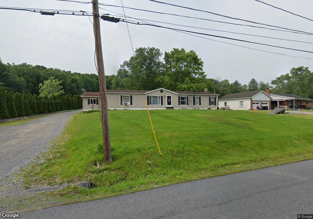
1972 Clarence Rd Clarence, PA 16829
Snow Shoe NeighborhoodEstimated Value: $193,000 - $272,000
3
Beds
2
Baths
1,998
Sq Ft
$117/Sq Ft
Est. Value
About This Home
This home is located at 1972 Clarence Rd, Clarence, PA 16829 and is currently estimated at $234,113, approximately $117 per square foot. 1972 Clarence Rd is a home located in Centre County with nearby schools including Bald Eagle Area Junior/Senior High School.
Ownership History
Date
Name
Owned For
Owner Type
Purchase Details
Closed on
Jan 18, 2021
Sold by
Duke Mccloskey Doeothy Susan and Mccloskey Daniel Robert
Bought by
Duke Mccloskey Dorothy Susan
Current Estimated Value
Purchase Details
Closed on
Sep 13, 2001
Bought by
Mccloskey Dorothy Susan Duke and Mccloskey Mccloskey
Create a Home Valuation Report for This Property
The Home Valuation Report is an in-depth analysis detailing your home's value as well as a comparison with similar homes in the area
Home Values in the Area
Average Home Value in this Area
Purchase History
| Date | Buyer | Sale Price | Title Company |
|---|---|---|---|
| Duke Mccloskey Dorothy Susan | -- | Members Settlement Services | |
| Mccloskey Dorothy Susan Duke | -- | -- |
Source: Public Records
Tax History Compared to Growth
Tax History
| Year | Tax Paid | Tax Assessment Tax Assessment Total Assessment is a certain percentage of the fair market value that is determined by local assessors to be the total taxable value of land and additions on the property. | Land | Improvement |
|---|---|---|---|---|
| 2025 | $2,520 | $34,625 | $3,265 | $31,360 |
| 2024 | $2,556 | $34,625 | $3,265 | $31,360 |
| 2023 | $2,556 | $34,625 | $3,265 | $31,360 |
| 2022 | $2,487 | $34,625 | $3,265 | $31,360 |
| 2021 | $2,445 | $34,625 | $3,265 | $31,360 |
| 2020 | $2,445 | $34,625 | $3,265 | $31,360 |
| 2019 | $1,554 | $34,625 | $3,265 | $31,360 |
| 2018 | $2,341 | $34,625 | $3,265 | $31,360 |
| 2017 | $2,208 | $34,625 | $3,265 | $31,360 |
| 2016 | -- | $34,625 | $3,265 | $31,360 |
| 2015 | -- | $34,625 | $3,265 | $31,360 |
| 2014 | -- | $34,625 | $3,265 | $31,360 |
Source: Public Records
Map
Nearby Homes
- 1532 Clarence Rd
- 1176 Clarence Rd
- 103 Spruce Rd
- 203 Gorton Rd
- 0 Moshannon Ave
- 569 Elm Rd
- 529 Lucas Ridge Rd
- 1503 Gorton Rd
- 170 Blackberry Rd
- 145 Meadow Dr
- 293 Snow Shoe Mountain Forest Rd
- 186 Little Wolf Rd
- 0 Viehdorfer Rd
- Viehdorfer Road Lot Unit WP001
- 3402 Tunnel Rd
- 1437 Cooper Ave
- 1178 Cooper Ave
- 0 Pine Glen Rd
- 111 Fireside Rd
- 100 Fye Rd
- 1982 Clarence Rd
- 1954 Clarence Rd
- 1979 Clarence Rd
- 1950 Clarence Rd
- 2004 Clarence Rd
- 110 Butterworth Rd
- 1875 Clarence Rd
- 147 Butterworth Rd
- 160 Gomola Ln
- 225 Butterworth Rd
- 182 Gomola Ln
- 155 Butterworth Rd
- 215 Butterworth Rd
- 1798 Clarence Rd
- 214 Wooded Ln
- 1801 Clarence Rd
- 127 Urbanik Ln
- 130 Urbanik Ln
- 1792 Clarence Rd
- 1724 Clarence Rd