Estimated Value: $168,000 - $239,000
4
Beds
3
Baths
2,280
Sq Ft
$89/Sq Ft
Est. Value
About This Home
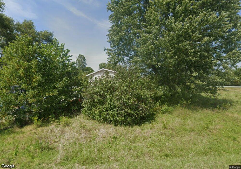
This home is located at 1972 E 950 S Unit 1972 E COUNTY RD, Lynn, IN 47355 and is currently estimated at $201,944, approximately $88 per square foot. 1972 E 950 S Unit 1972 E COUNTY RD is a home located in Randolph County with nearby schools including Randolph Southern Elementary School and Randolph Southern Junior/Senior High School.
Ownership History
Date
Name
Owned For
Owner Type
Purchase Details
Closed on
Mar 5, 2010
Sold by
Secretary Of Hud Of Washington D C
Bought by
Welsh John D and Darr Mary C
Current Estimated Value
Purchase Details
Closed on
Jun 11, 2008
Sold by
U S Bank Na
Bought by
The Secretary Of Hud
Purchase Details
Closed on
May 28, 2008
Sold by
Perry Jeffrey T
Bought by
U S Bank Na
Create a Home Valuation Report for This Property
The Home Valuation Report is an in-depth analysis detailing your home's value as well as a comparison with similar homes in the area
Purchase History
| Date | Buyer | Sale Price | Title Company |
|---|---|---|---|
| Welsh John D | -- | None Available | |
| Welsh John D | -- | None Available | |
| The Secretary Of Hud | $148,644 | None Available | |
| The Secretary Of Hud | $148,644 | None Available | |
| U S Bank Na | $167,300 | None Available | |
| U S Bank Na | $167,300 | None Available |
Source: Public Records
Tax History
| Year | Tax Paid | Tax Assessment Tax Assessment Total Assessment is a certain percentage of the fair market value that is determined by local assessors to be the total taxable value of land and additions on the property. | Land | Improvement |
|---|---|---|---|---|
| 2025 | $1,907 | $152,800 | $9,900 | $142,900 |
| 2024 | $1,907 | $149,400 | $9,500 | $139,900 |
| 2023 | $2,057 | $153,700 | $9,500 | $144,200 |
| 2022 | $2,226 | $151,700 | $9,500 | $142,200 |
| 2021 | $2,072 | $135,600 | $14,300 | $121,300 |
| 2020 | $809 | $121,100 | $12,500 | $108,600 |
| 2019 | $690 | $117,500 | $12,500 | $105,000 |
| 2018 | $622 | $110,400 | $11,800 | $98,600 |
| 2017 | $543 | $106,900 | $11,800 | $95,100 |
| 2016 | $505 | $102,900 | $10,700 | $92,200 |
| 2014 | $514 | $105,700 | $10,700 | $95,000 |
| 2013 | $514 | $102,300 | $10,700 | $91,600 |
Source: Public Records
Map
Nearby Homes
- Lot 1 S Main St
- 703 Westwood Dr
- 316 N Main St
- 306 Price St
- 1319 Hopewell Rd
- 00 N Center Rd
- 107 N US Highway 27
- 701 W Cherry St
- 301 S Front St
- 8663 N Centerville Rd
- 00 Fountain City Pike
- 5818 S Arba Pike
- 8191 U S 35
- TBD U S 35
- 10019 S 475 W
- 6855 N Centerville Rd
- 6497 S 500 W
- 4668 S State Road 227
- 6049 U S 35
- 5974 Hill Rd
- 1972 E 950 S
- 9669 S Us Highway 27
- 9201 S Us Highway 27
- 9170 S Us Highway 27
- 1884 E 1000 S
- 2215 E 900 S
- 2044 E 900 S
- 9980 S Us Highway 27
- 1494 E 950 S
- 0 E 950 S Unit 10039863
- 0 E 950 S Unit 202042434
- 10028 S Us Highway 27
- 2610 E 950 S
- 10084 S Us Highway 27
- 0 S Cr 700 S Unit 10010603
- 2125 E 1000 S
- 2489 E 900 S
- 1548 E 1000 S
- 8825 S Us Highway 27
- 10176 S Us Highway 27
Your Personal Tour Guide
Ask me questions while you tour the home.