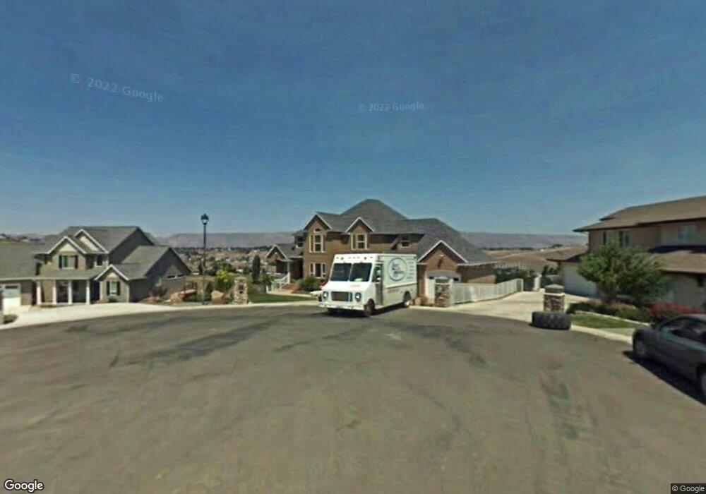
1972 Rivercrest Dr Clarkston, WA 99403
Estimated Value: $638,576 - $900,000
--
Bed
--
Bath
3,062
Sq Ft
$261/Sq Ft
Est. Value
About This Home
This home is located at 1972 Rivercrest Dr, Clarkston, WA 99403 and is currently estimated at $800,394, approximately $261 per square foot. 1972 Rivercrest Dr is a home located in Asotin County with nearby schools including Asotin Elementary School and Asotin Junior/Senior High School.
Ownership History
Date
Name
Owned For
Owner Type
Purchase Details
Closed on
Jul 5, 2006
Sold by
Lenzmeier Craig L and Lenzmeier Georgia M
Bought by
Nicholas Wesley A and Nicholas Jennifer L
Current Estimated Value
Home Financials for this Owner
Home Financials are based on the most recent Mortgage that was taken out on this home.
Original Mortgage
$340,000
Outstanding Balance
$201,627
Interest Rate
6.63%
Mortgage Type
New Conventional
Estimated Equity
$598,767
Create a Home Valuation Report for This Property
The Home Valuation Report is an in-depth analysis detailing your home's value as well as a comparison with similar homes in the area
Home Values in the Area
Average Home Value in this Area
Purchase History
| Date | Buyer | Sale Price | Title Company |
|---|---|---|---|
| Nicholas Wesley A | $450,000 | Alliance Title |
Source: Public Records
Mortgage History
| Date | Status | Borrower | Loan Amount |
|---|---|---|---|
| Open | Nicholas Wesley A | $340,000 |
Source: Public Records
Tax History Compared to Growth
Tax History
| Year | Tax Paid | Tax Assessment Tax Assessment Total Assessment is a certain percentage of the fair market value that is determined by local assessors to be the total taxable value of land and additions on the property. | Land | Improvement |
|---|---|---|---|---|
| 2025 | $4,653 | $423,900 | $64,000 | $359,900 |
| 2023 | $4,653 | $423,900 | $64,000 | $359,900 |
| 2022 | $4,910 | $423,900 | $64,000 | $359,900 |
| 2021 | $4,693 | $423,900 | $64,000 | $359,900 |
| 2020 | $4,215 | $423,900 | $64,000 | $359,900 |
| 2019 | $4,021 | $376,200 | $90,000 | $286,200 |
| 2018 | $4,841 | $376,200 | $90,000 | $286,200 |
| 2017 | $4,337 | $376,200 | $90,000 | $286,200 |
| 2016 | $4,337 | $376,200 | $90,000 | $286,200 |
| 2015 | $431 | $362,200 | $90,000 | $272,200 |
| 2013 | $4,166 | $356,600 | $90,000 | $266,600 |
Source: Public Records
Map
Nearby Homes
- 3820 Pleasant View Dr
- 3725 Nicklaus Dr
- 3775 Swallows Nest Ct
- 3733 and 3731 Swallows Nest Ct
- 1501 Arkenstone Court Lot 1
- 3305 Michael Dr
- 1705 Swallows Nest Loop
- 3307 Michael Dr
- 3560 Quailridge Dr
- 3315 Michael Dr
- 1771 River Canyon Dr
- 1785 River Canyon Dr
- 1780 Cherry St
- 2275 Chukar Dr
- 2289 Chukar Dr
- 2285 Chukar Dr
- 2308 Chukar Ct
- 3020 Dove Drive (Lot 18 Dove Replat)
- 2600
- 2606
- 1976 Rivercrest Dr
- 1980 Rivercrest Dr
- 1967 Rivercrest Dr
- 3777 Nicklaus Dr
- 3795 Nicklaus Dr
- 1971 Rivercrest Dr
- 3775 Nicklaus Dr
- 3809 Nicklaus Dr
- 1988 Rivercrest Dr
- 3800 Nicklaus Dr
- 1975 Rivercrest Dr
- 3770 Nicklaus Dr
- 1992 Rivercrest Dr
- 1987 Rivercrest Dr
- 1979 Rivercrest Dr
- 1983 Rivercrest Dr
- 3790 Nicklaus Dr
- 1680 Osborn Dr
- 3755 Nicklaus Dr
- 3760 Nicklaus Dr