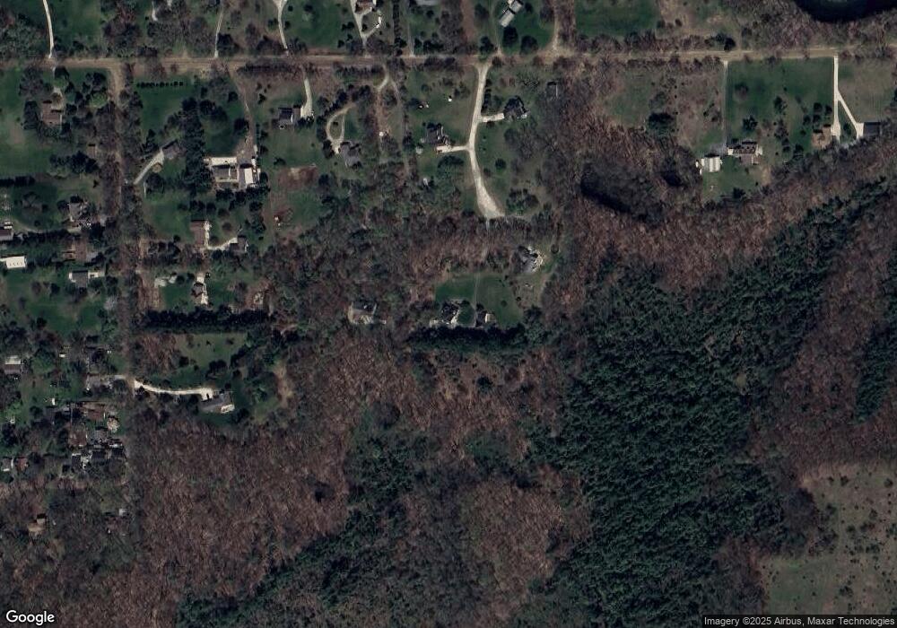
1972 Ryan Andrew Ct Leonard, MI 48367
Estimated Value: $553,496 - $734,000
3
Beds
3
Baths
2,510
Sq Ft
$248/Sq Ft
Est. Value
About This Home
This home is located at 1972 Ryan Andrew Ct, Leonard, MI 48367 and is currently estimated at $623,124, approximately $248 per square foot. 1972 Ryan Andrew Ct is a home located in Oakland County with nearby schools including Hamilton Parsons Elementary School.
Ownership History
Date
Name
Owned For
Owner Type
Purchase Details
Closed on
May 20, 2005
Sold by
Harding Michael P and Harding Cynthia A
Bought by
Compton Paul D and Compton Julie A
Current Estimated Value
Home Financials for this Owner
Home Financials are based on the most recent Mortgage that was taken out on this home.
Original Mortgage
$213,550
Interest Rate
5.91%
Mortgage Type
Fannie Mae Freddie Mac
Purchase Details
Closed on
Sep 25, 2001
Sold by
Phillips Richard
Bought by
Harding Michael P
Home Financials for this Owner
Home Financials are based on the most recent Mortgage that was taken out on this home.
Original Mortgage
$236,000
Interest Rate
6.99%
Create a Home Valuation Report for This Property
The Home Valuation Report is an in-depth analysis detailing your home's value as well as a comparison with similar homes in the area
Home Values in the Area
Average Home Value in this Area
Purchase History
| Date | Buyer | Sale Price | Title Company |
|---|---|---|---|
| Compton Paul D | $309,000 | Title One Inc | |
| Harding Michael P | $330,000 | -- |
Source: Public Records
Mortgage History
| Date | Status | Borrower | Loan Amount |
|---|---|---|---|
| Closed | Compton Paul D | $80,000 | |
| Previous Owner | Compton Paul D | $213,550 | |
| Previous Owner | Harding Michael P | $236,000 |
Source: Public Records
Tax History Compared to Growth
Tax History
| Year | Tax Paid | Tax Assessment Tax Assessment Total Assessment is a certain percentage of the fair market value that is determined by local assessors to be the total taxable value of land and additions on the property. | Land | Improvement |
|---|---|---|---|---|
| 2024 | $2,529 | $244,910 | $0 | $0 |
| 2023 | $2,438 | $221,590 | $0 | $0 |
| 2022 | $3,667 | $205,210 | $0 | $0 |
| 2021 | $3,323 | $211,240 | $0 | $0 |
| 2020 | $2,253 | $197,510 | $0 | $0 |
| 2019 | $3,028 | $176,410 | $0 | $0 |
| 2018 | $2,953 | $143,610 | $0 | $0 |
| 2017 | $2,777 | $143,610 | $0 | $0 |
| 2016 | $2,777 | $131,270 | $0 | $0 |
| 2015 | -- | $131,240 | $0 | $0 |
| 2014 | -- | $119,420 | $0 | $0 |
| 2011 | -- | $100,470 | $0 | $0 |
Source: Public Records
Map
Nearby Homes
- 9 Annandale
- 2425 Texter Rd
- 906 Yule Rd
- 2465 Texter Rd
- 0000 Round Lake Ln
- 2148 Hidden Ln
- 0000 Hagerman Rd
- 1469 Milmine St
- 0 Tbd Lakeville Rd
- 990 Brewer Rd
- 931 Rochester Rd
- 00 West St
- 2.05 Acres VL - Knights Bridge
- 2.02 Acres VL - Knights Bridge
- 4.23 Acres VL - Knights Bridge
- 000 Knights Bridge
- 11.01 Acres Vacant L Knights Bridge
- 270 N Rochester Rd
- 1779 Mack Rd
- TBD Lakeville Rd
- 448 Mack Rd
- 1969 Ryan Andrew Ct
- 1932 Ryan Andrew Ct
- 464 Mack Rd
- 1931 Ryan Andrew Crt
- 1931 Ryan Andrew Ct
- 1931 Ryan Andrew Ct Unit ANDREW
- 1940 Moffat
- 1820 Moffat
- 432 Mack Rd
- 420 Mack Rd
- 1970 Moffat
- 0 Texter Rd Unit 218095253
- 0 Texter Rd Unit 29083360
- 0 Texter Rd Unit 210010883
- 0 Texter Rd Unit 29150141
- 0 Texter Rd Unit 210030770
- 0 Texter Rd Unit 210124301
- 00 Texter Rd
- 0 Texter Rd Unit 214085195
