1972 Selief Ln Kodiak, AK 99615
Estimated Value: $453,739 - $470,000
--
Bed
--
Bath
1,296
Sq Ft
$357/Sq Ft
Est. Value
About This Home
This home is located at 1972 Selief Ln, Kodiak, AK 99615 and is currently estimated at $462,913, approximately $357 per square foot. 1972 Selief Ln is a home located in Kodiak Island Borough with nearby schools including St. Mary's School and Kodiak Christian School.
Ownership History
Date
Name
Owned For
Owner Type
Purchase Details
Closed on
Apr 23, 2008
Sold by
Corea Edwar Guerra
Bought by
Pikus Laurie L
Current Estimated Value
Purchase Details
Closed on
Jun 21, 2004
Sold by
Quick Thomas and Quick Sandra
Bought by
Corea Edward Guerra and Pikus Laurie L
Home Financials for this Owner
Home Financials are based on the most recent Mortgage that was taken out on this home.
Original Mortgage
$165,600
Interest Rate
6.09%
Mortgage Type
Purchase Money Mortgage
Purchase Details
Closed on
Mar 27, 2003
Sold by
Miles Frank E and Miles Maryann B
Bought by
Quick Thomas and Quick Sandra
Home Financials for this Owner
Home Financials are based on the most recent Mortgage that was taken out on this home.
Original Mortgage
$158,000
Interest Rate
5.79%
Mortgage Type
VA
Create a Home Valuation Report for This Property
The Home Valuation Report is an in-depth analysis detailing your home's value as well as a comparison with similar homes in the area
Home Values in the Area
Average Home Value in this Area
Purchase History
| Date | Buyer | Sale Price | Title Company |
|---|---|---|---|
| Pikus Laurie L | -- | None Available | |
| Corea Edward Guerra | -- | First American Title Of Alas | |
| Quick Thomas | -- | -- |
Source: Public Records
Mortgage History
| Date | Status | Borrower | Loan Amount |
|---|---|---|---|
| Previous Owner | Corea Edward Guerra | $165,600 | |
| Previous Owner | Quick Thomas | $158,000 |
Source: Public Records
Tax History Compared to Growth
Tax History
| Year | Tax Paid | Tax Assessment Tax Assessment Total Assessment is a certain percentage of the fair market value that is determined by local assessors to be the total taxable value of land and additions on the property. | Land | Improvement |
|---|---|---|---|---|
| 2025 | $4,822 | $409,100 | $64,600 | $344,500 |
| 2024 | $4,822 | $393,600 | $64,600 | $329,000 |
| 2023 | $4,550 | $343,400 | $53,800 | $289,600 |
| 2022 | $4,546 | $330,600 | $53,800 | $276,800 |
| 2021 | $4,546 | $330,600 | $53,800 | $276,800 |
| 2020 | $4,194 | $305,000 | $53,800 | $251,200 |
| 2019 | $3,736 | $305,000 | $53,800 | $251,200 |
| 2018 | $3,736 | $305,000 | $53,800 | $251,200 |
| 2017 | $3,492 | $285,100 | $53,800 | $231,300 |
| 2016 | -- | $256,900 | $53,800 | $203,100 |
| 2015 | -- | $250,500 | $53,800 | $196,700 |
| 2014 | -- | $250,500 | $53,800 | $196,700 |
| 2013 | -- | $250,500 | $53,800 | $196,700 |
Source: Public Records
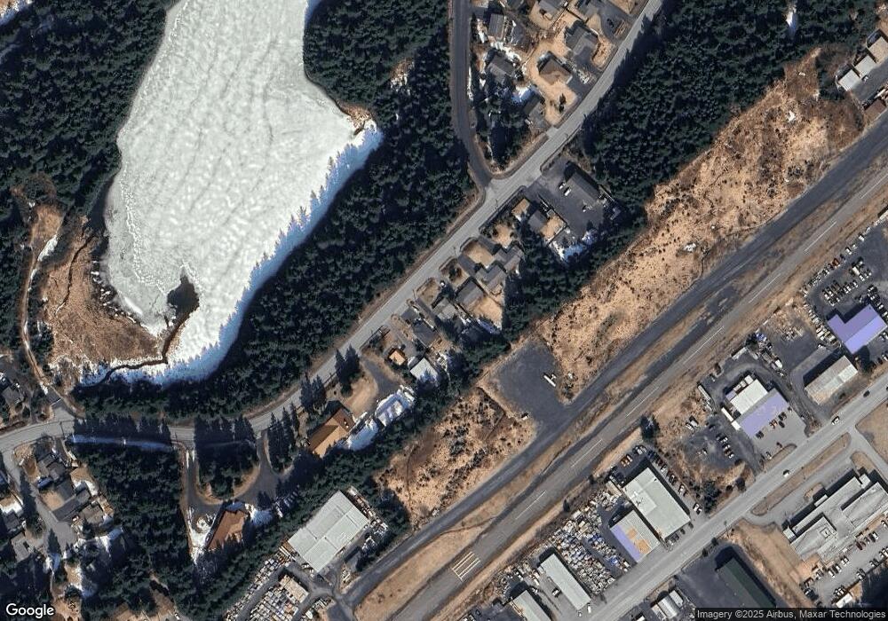
Map
Nearby Homes
- 110 Bancroft Dr
- 1716 Selief Ln
- 1815 Chichenof St
- 1614 Selief Ln
- 1216 Purtov St
- 1411 Mission Rd
- 1314 Mission Rd
- 1310 Mission Rd
- 3431 Sitkinak Dr
- 1011 Willow St
- 3043 Lakeview Dr
- 3043 Lake View Dr
- 285 Lilly Dr
- 1679 Three Sisters Way
- 3601 Sharatin Rd
- 716 Thorsheim St
- 821 E Tagura Rd
- 4142 Ocean Dr
- 523 Thorsheim St
- 321 Erskine Ave
- 1966 Selief Ln
- 1980 Selief Ln
- 1958 Selief Ln
- 1986 Selief Ln
- 1994 Selief Ln
- 2010 Selief Ln
- 2020 Beaver Lake Dr
- 000 Selief Ln Unit 2
- 2065 Selief Ln
- 2030 Beaver Lake Dr
- 2095 Selief Ln
- 2075 Mill Bay Rd
- 2040 Beaver Lake Dr
- 2133 Selief Ln
- 2011 Mill Bay Rd
- 357 Denali Ct
- 353 Denali Ct
- 2165 Selief Ln
- 351 Denali Ct
- 545 Selief Ct