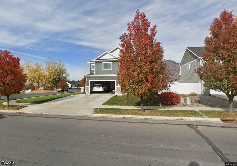
1972 W 800 N Mapleton, UT 84664
Estimated Value: $656,000 - $761,000
3
Beds
2
Baths
2,838
Sq Ft
$248/Sq Ft
Est. Value
About This Home
This home is located at 1972 W 800 N, Mapleton, UT 84664 and is currently estimated at $703,666, approximately $247 per square foot. 1972 W 800 N is a home located in Utah County with nearby schools including Sage Creek Elementary, Springville Junior High School, and Springville High School.
Ownership History
Date
Name
Owned For
Owner Type
Purchase Details
Closed on
Aug 22, 2023
Sold by
Vanvalkenburg Korby C and Vanvalkenburg Amberlee
Bought by
Van Valkenburg Family Trust and Van Valkenburg
Current Estimated Value
Purchase Details
Closed on
Aug 18, 2021
Sold by
Lennar Homes Of Utah Inc
Bought by
Louis Kelsie Leu Saint and Louis Camille F
Home Financials for this Owner
Home Financials are based on the most recent Mortgage that was taken out on this home.
Original Mortgage
$524,720
Interest Rate
2.9%
Mortgage Type
New Conventional
Purchase Details
Closed on
Oct 16, 2012
Sold by
Vanvalkenburg Korby C
Bought by
Vanvalkenburg Korby C and Vanvalkenburg Van Valkenburg
Create a Home Valuation Report for This Property
The Home Valuation Report is an in-depth analysis detailing your home's value as well as a comparison with similar homes in the area
Home Values in the Area
Average Home Value in this Area
Purchase History
| Date | Buyer | Sale Price | Title Company |
|---|---|---|---|
| Van Valkenburg Family Trust | -- | None Listed On Document | |
| Louis Kelsie Leu Saint | -- | North Amer Ttl Ut Union Park | |
| Vanvalkenburg Korby C | -- | Surety Title |
Source: Public Records
Mortgage History
| Date | Status | Borrower | Loan Amount |
|---|---|---|---|
| Previous Owner | Louis Kelsie Leu Saint | $524,720 |
Source: Public Records
Tax History
| Year | Tax Paid | Tax Assessment Tax Assessment Total Assessment is a certain percentage of the fair market value that is determined by local assessors to be the total taxable value of land and additions on the property. | Land | Improvement |
|---|---|---|---|---|
| 2025 | $3,034 | $324,830 | -- | -- |
| 2024 | $3,034 | $297,220 | $0 | $0 |
| 2023 | $3,175 | $312,950 | $0 | $0 |
| 2022 | $3,528 | $343,915 | $0 | $0 |
| 2021 | $2,974 | $445,100 | $155,500 | $289,600 |
| 2020 | $2,951 | $427,200 | $137,600 | $289,600 |
| 2019 | $2,597 | $383,800 | $132,000 | $251,800 |
| 2018 | $2,534 | $356,500 | $111,200 | $245,300 |
| 2017 | $2,470 | $184,415 | $0 | $0 |
| 2016 | $2,434 | $180,620 | $0 | $0 |
| 2015 | $2,371 | $174,845 | $0 | $0 |
| 2014 | $2,258 | $163,570 | $0 | $0 |
Source: Public Records
Map
Nearby Homes
- 1896 W 800 N
- 1836 W 800 N
- 683 N Heritage St
- 657 N Heritage St Unit 9
- 641 N Heritage St Unit 8
- 599 N Heritage St Unit 6
- 581 N Heritage St Unit 5
- 2140 W Legend Way Unit 490
- 2033 Fortune Ln Unit 462
- 2152 W Legend Way Unit 489
- 2152 Legend Way Unit 489
- 622 N Legend Cir Unit 481
- 281 Winchester Dr
- 624 N Legend Cir Unit 480
- 1631 W Century Ln Unit B
- 626 N Legend Cir Unit 479
- 2177 Fortune Ln Unit 451
- 2177 W Fortune Ln Unit 451
- 2227 Fortune Ln Unit 448
- 549 N Legend Cir Unit C/466
- 1972 W 800 N Unit 2
- 1972 W 800 N Unit 7
- 1936 W 800 N Unit 6
- 1936 W 800 N
- 1918 W 800 N
- 394 Sweetwater Dr
- 394 E 2200 S
- 145 S Troy St 13
- 393 Sweetwater Dr
- 393 E 2200 S Unit 49
- 1939 W 800 N
- 384 E 2200 S Unit 57
- 384 E 2200 S
- 2188 S 400 E
- 2188 S 400 E Unit 50
- 384 Sweetwater Dr
- 1872 W 800 N Unit 3
- 1872 W 800 N
- 383 E 2200 S Unit 48
- 383 Sweetwater Dr
Your Personal Tour Guide
Ask me questions while you tour the home.