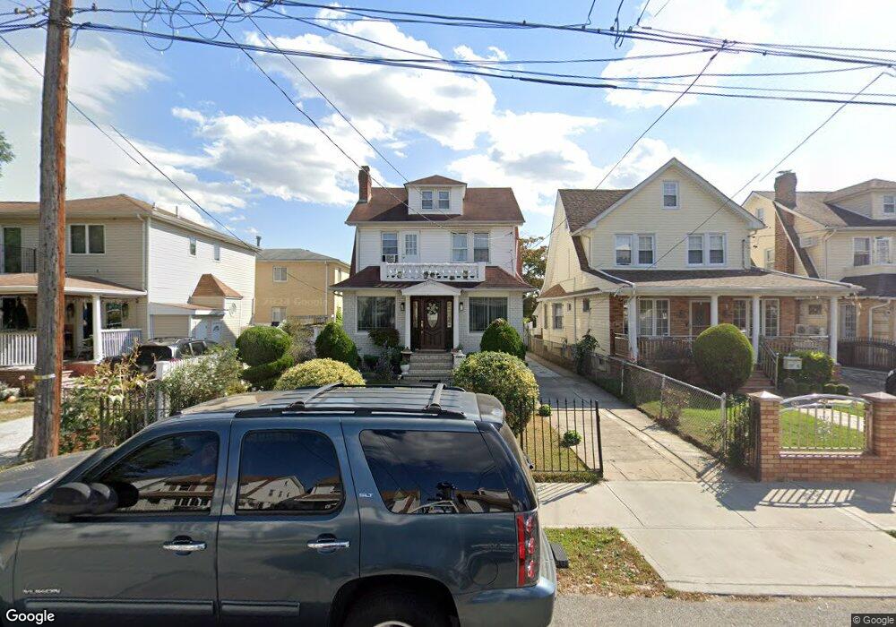
19720 89th Rd Hollis, NY 11423
Hollis NeighborhoodEstimated Value: $843,457 - $988,000
--
Bed
--
Bath
1,938
Sq Ft
$485/Sq Ft
Est. Value
About This Home
This home is located at 19720 89th Rd, Hollis, NY 11423 and is currently estimated at $940,114, approximately $485 per square foot. 19720 89th Rd is a home located in Queens County with nearby schools including P.S. 35 Nathaniel Woodhull, I.S. 238 Susan B Anthony Academy, and The Wellspring Schools.
Ownership History
Date
Name
Owned For
Owner Type
Purchase Details
Closed on
Aug 9, 2012
Sold by
Davis Donna M and Laing Viola A
Bought by
Laing Viola A
Current Estimated Value
Home Financials for this Owner
Home Financials are based on the most recent Mortgage that was taken out on this home.
Original Mortgage
$11,106
Outstanding Balance
$7,626
Interest Rate
3.56%
Mortgage Type
New Conventional
Estimated Equity
$932,488
Purchase Details
Closed on
Nov 13, 2006
Sold by
Laing Viola
Bought by
Davis Donna M and Laing Viola A
Home Financials for this Owner
Home Financials are based on the most recent Mortgage that was taken out on this home.
Original Mortgage
$500,000
Interest Rate
6.31%
Mortgage Type
Purchase Money Mortgage
Create a Home Valuation Report for This Property
The Home Valuation Report is an in-depth analysis detailing your home's value as well as a comparison with similar homes in the area
Home Values in the Area
Average Home Value in this Area
Purchase History
| Date | Buyer | Sale Price | Title Company |
|---|---|---|---|
| Laing Viola A | -- | -- | |
| Laing Viola A | -- | -- | |
| Davis Donna M | -- | -- | |
| Davis Donna M | -- | -- |
Source: Public Records
Mortgage History
| Date | Status | Borrower | Loan Amount |
|---|---|---|---|
| Open | Laing Viola A | $11,106 | |
| Closed | Laing Viola A | $11,106 | |
| Previous Owner | Davis Donna M | $500,000 |
Source: Public Records
Tax History Compared to Growth
Tax History
| Year | Tax Paid | Tax Assessment Tax Assessment Total Assessment is a certain percentage of the fair market value that is determined by local assessors to be the total taxable value of land and additions on the property. | Land | Improvement |
|---|---|---|---|---|
| 2025 | $6,356 | $37,572 | $10,139 | $27,433 |
| 2024 | $4,840 | $35,446 | $10,012 | $25,434 |
| 2023 | $5,953 | $33,440 | $9,339 | $24,101 |
| 2022 | $6,017 | $45,300 | $14,880 | $30,420 |
| 2021 | $6,210 | $43,320 | $14,880 | $28,440 |
| 2020 | $5,968 | $37,920 | $14,880 | $23,040 |
| 2019 | $5,520 | $33,900 | $14,880 | $19,020 |
| 2018 | $5,022 | $27,867 | $10,471 | $17,396 |
| 2017 | $5,035 | $27,867 | $12,774 | $15,093 |
| 2016 | $4,816 | $27,867 | $12,774 | $15,093 |
| 2015 | $2,951 | $26,092 | $14,237 | $11,855 |
| 2014 | $2,951 | $24,616 | $13,170 | $11,446 |
Source: Public Records
Map
Nearby Homes
- 90-35 198th St
- 89-48 196th St
- 88-27 196th St
- 8925 201st St
- 9051 201st St
- 88-38 201st St
- 92-22 195th Place
- 93-17 201st St
- 88-44 202nd St
- 9317 197th St
- 9302 202nd St
- 197-21 Carpenter Ave Unit 1G
- 197-31 Carpenter Ave
- 88-49 202nd St
- 9048 204th St
- 19515 Woodhull Ave
- 94-72 199th St
- 9141 195th St
- 19511 Woodhull Ave
- 90-62 204th St