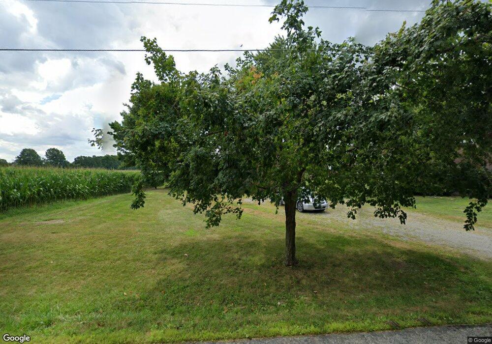
1973 Ford Rd Delaware, OH 43015
Estimated Value: $234,723 - $404,000
3
Beds
1
Bath
912
Sq Ft
$366/Sq Ft
Est. Value
About This Home
This home is located at 1973 Ford Rd, Delaware, OH 43015 and is currently estimated at $334,181, approximately $366 per square foot. 1973 Ford Rd is a home located in Delaware County with nearby schools including Liberty Tree Elementary School, Hyatts Middle School, and Olentangy Berlin High School.
Ownership History
Date
Name
Owned For
Owner Type
Purchase Details
Closed on
Dec 17, 2019
Sold by
Hilty Milo D and Hilty Susan A
Bought by
Hope Julie K and Hope Mark A
Current Estimated Value
Purchase Details
Closed on
Jul 20, 2017
Sold by
Hilty Llc
Bought by
Hilty Milo D and Hilty Susan A
Purchase Details
Closed on
Dec 28, 2012
Sold by
Hilty Milo D and Milo D Hilty Revocable Trust
Bought by
Hilty Llc
Purchase Details
Closed on
Jan 5, 2006
Sold by
Hilty Milo D and Hilty Susan A
Bought by
Hilty Susan A and The Susan A Hilty Revocable Tr
Create a Home Valuation Report for This Property
The Home Valuation Report is an in-depth analysis detailing your home's value as well as a comparison with similar homes in the area
Home Values in the Area
Average Home Value in this Area
Purchase History
| Date | Buyer | Sale Price | Title Company |
|---|---|---|---|
| Hope Julie K | -- | None Available | |
| Hilty Milo D | -- | None Available | |
| Hilty Llc | -- | None Available | |
| Hilty Susan A | -- | None Available | |
| Hilty Milo D | -- | None Available |
Source: Public Records
Tax History
| Year | Tax Paid | Tax Assessment Tax Assessment Total Assessment is a certain percentage of the fair market value that is determined by local assessors to be the total taxable value of land and additions on the property. | Land | Improvement |
|---|---|---|---|---|
| 2024 | $3,472 | $64,790 | $18,730 | $46,060 |
| 2023 | $3,485 | $64,790 | $18,730 | $46,060 |
| 2022 | $3,139 | $46,280 | $13,060 | $33,220 |
| 2021 | $3,159 | $46,280 | $13,060 | $33,220 |
| 2020 | $3,175 | $46,280 | $13,060 | $33,220 |
| 2019 | $2,624 | $39,770 | $10,890 | $28,880 |
| 2018 | $2,636 | $39,770 | $10,890 | $28,880 |
| 2017 | $0 | $36,370 | $8,720 | $27,650 |
| 2016 | $2,566 | $36,370 | $8,720 | $27,650 |
| 2015 | $2,328 | $36,370 | $8,720 | $27,650 |
| 2014 | $2,360 | $36,370 | $8,720 | $27,650 |
| 2013 | $2,345 | $35,320 | $8,720 | $26,600 |
Source: Public Records
Map
Nearby Homes
- 2000 Ford Rd
- 2004 Ford Rd
- 2028 Ford Rd
- 2036 Ford Rd
- 0 Ford Rd Unit 2 225010580
- 0 Ford Rd Unit Tract 6 225010615
- 0 Ford Rd Unit 1 225010573
- 3226 Bean Oller Rd
- 4754 Liberty Rd
- 2746 Drycreek Ct
- 0 Clark-Shaw Rd Unit 225020834
- 3441 Crimson Stone Dr
- 2513 Clark Shaw Rd
- 2481 Clark Shaw Rd
- 5421 Valleydale Rd
- 5429 Valleydale Rd
- 2788 Drycreek Ct
- 5683 Peavey St Unit Lot 7185
- 2778 Drycreek Ct
- 2770 Drycreek Ct
Your Personal Tour Guide
Ask me questions while you tour the home.
