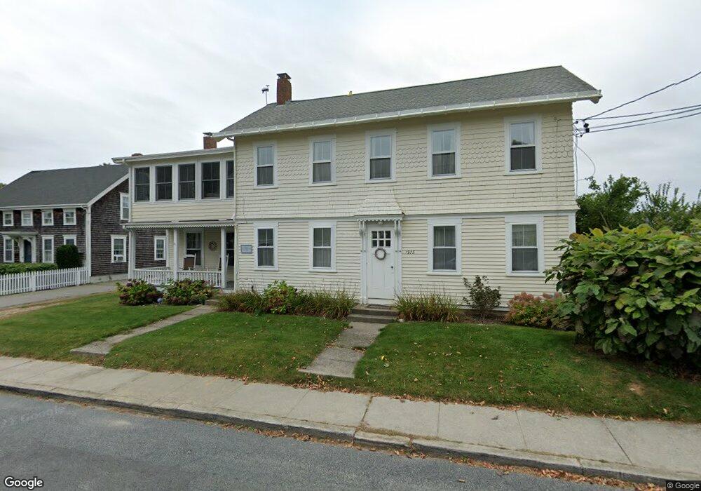
1973 Main Rd Westport Point, MA 02791
Westport Point NeighborhoodEstimated Value: $1,221,143 - $1,340,000
4
Beds
--
Bath
2,176
Sq Ft
$581/Sq Ft
Est. Value
About This Home
This home is located at 1973 Main Rd, Westport Point, MA 02791 and is currently estimated at $1,264,714, approximately $581 per square foot. 1973 Main Rd is a home with nearby schools including Alice A. Macomber Primary School, Westport Elementary School, and Westport Middle-High School.
Ownership History
Date
Name
Owned For
Owner Type
Purchase Details
Closed on
Nov 26, 2021
Sold by
Bruzelius Nils J
Bought by
N J A Bruzelius 2004 Ret and Bruzelius
Current Estimated Value
Create a Home Valuation Report for This Property
The Home Valuation Report is an in-depth analysis detailing your home's value as well as a comparison with similar homes in the area
Home Values in the Area
Average Home Value in this Area
Purchase History
| Date | Buyer | Sale Price | Title Company |
|---|---|---|---|
| N J A Bruzelius 2004 Ret | -- | None Available | |
| N J A Bruzelius 2004 Ret | -- | None Available |
Source: Public Records
Tax History Compared to Growth
Tax History
| Year | Tax Paid | Tax Assessment Tax Assessment Total Assessment is a certain percentage of the fair market value that is determined by local assessors to be the total taxable value of land and additions on the property. | Land | Improvement |
|---|---|---|---|---|
| 2025 | $7,933 | $1,064,800 | $650,600 | $414,200 |
| 2024 | $7,175 | $928,200 | $602,700 | $325,500 |
| 2023 | $6,566 | $804,600 | $490,500 | $314,100 |
| 2022 | $5,684 | $670,300 | $392,900 | $277,400 |
| 2021 | $4,734 | $549,200 | $330,400 | $218,800 |
| 2020 | $5,381 | $536,000 | $317,200 | $218,800 |
| 2019 | $4,730 | $572,000 | $360,100 | $211,900 |
| 2018 | $5,863 | $717,600 | $512,200 | $205,400 |
| 2017 | $5,575 | $699,500 | $508,500 | $191,000 |
| 2016 | $6,483 | $819,600 | $635,600 | $184,000 |
| 2015 | $5,807 | $732,300 | $576,800 | $155,500 |
Source: Public Records
Map
Nearby Homes
- 1881 Main Rd
- 1749 Main Rd
- 1702J Drift Rd
- 1702 Drift Rd
- 1580 Main Rd
- 19 Seabury Ln
- 1346 Main Rd Unit B
- 99 Sylvia Ln
- 238-242 E Beach Rd
- 189 Brayton Point Rd
- 304 Brayton Point Rd
- 255 John Dyer Rd
- Lot 2 Horseneck Rd
- 245 John Dyer Rd
- 225 Hixbridge Rd
- 920 Drift Rd
- 17 Quail Trail
- 101 Adamsville Rd
- Lot 2E Horseneck Rd
- 837 Main Rd
- 1970 Main Rd
- 1977 Main Road U: Weekly
- 1977 Main Rd
- 1971 Main Rd
- 1974 Main Rd Unit 1976
- 1976 Main Rd
- 1972 Main Rd
- 1968 Main Rd
- 1967 Main Rd
- 1982 Main Rd
- 1978 Main Rd
- 1966 Main Hwy
- 1980A/B Main Rd
- 1963 Main Rd
- 1991 Main Rd Unit WINTER
- 1991 Main Rd Unit VAC RENTAL
- 1991C Main Rd
- 1980 Main Rd
- 1965 Main Rd
- 1962 Main Rd