Estimated Value: $372,000 - $458,000
2
Beds
2
Baths
1
Sq Ft
$406,156/Sq Ft
Est. Value
About This Home
This home is located at 1973 Red Run Dr, Dorr, MI 49323 and is currently estimated at $406,156, approximately $406,156 per square foot. 1973 Red Run Dr is a home located in Allegan County with nearby schools including Wayland High School and St. Stanislaus School.
Ownership History
Date
Name
Owned For
Owner Type
Purchase Details
Closed on
Sep 21, 2018
Sold by
Carlson Kyle L and Roth Carlson Stephanie L
Bought by
Carlosn Kyle Lee and Roth Carlson Stephanie Ann
Current Estimated Value
Purchase Details
Closed on
Jul 3, 1996
Sold by
Torkko Thomas F and Torkko Holly A
Bought by
Carlson Kyle L and Carlson Stephanie R
Create a Home Valuation Report for This Property
The Home Valuation Report is an in-depth analysis detailing your home's value as well as a comparison with similar homes in the area
Home Values in the Area
Average Home Value in this Area
Purchase History
| Date | Buyer | Sale Price | Title Company |
|---|---|---|---|
| Carlosn Kyle Lee | -- | None Available | |
| Carlson Kyle L | $117,500 | -- |
Source: Public Records
Tax History
| Year | Tax Paid | Tax Assessment Tax Assessment Total Assessment is a certain percentage of the fair market value that is determined by local assessors to be the total taxable value of land and additions on the property. | Land | Improvement |
|---|---|---|---|---|
| 2025 | $3,297 | $205,000 | $61,000 | $144,000 |
| 2024 | $2,954 | $184,200 | $56,600 | $127,600 |
| 2023 | $3,026 | $165,000 | $50,700 | $114,300 |
| 2022 | $2,954 | $145,600 | $45,700 | $99,900 |
| 2021 | $2,783 | $136,900 | $42,500 | $94,400 |
| 2020 | $2,659 | $129,200 | $37,000 | $92,200 |
| 2019 | $2,659 | $116,900 | $32,000 | $84,900 |
| 2018 | $2,599 | $105,000 | $11,000 | $94,000 |
| 2017 | $0 | $109,400 | $11,000 | $98,400 |
| 2016 | $0 | $87,700 | $16,500 | $71,200 |
| 2015 | -- | $87,700 | $16,500 | $71,200 |
| 2014 | -- | $81,300 | $16,500 | $64,800 |
| 2013 | -- | $78,300 | $16,500 | $61,800 |
Source: Public Records
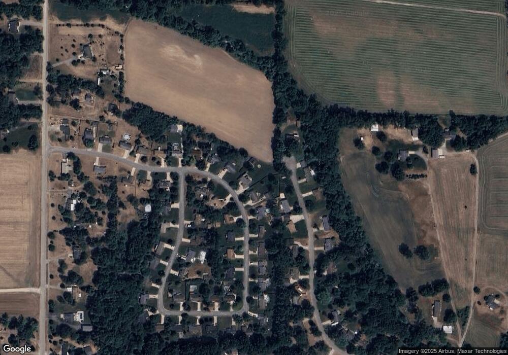
Map
Nearby Homes
- 4221 Century Dr
- Lots A&B 142nd Ave
- 1341 142nd Ave
- 4076 Ranchero Dr
- 4162 Radstock Dr
- Lot A 142nd Ave
- Lot B 142nd Ave
- 4230 Fenwick Dr
- 10785 Windward Ave SW
- 10725 Windward Ave SW
- 10711 Windward Ave SW
- Lot 11 Walnut Dale Dr
- 2259 136th Ave
- 4365 Chappel St
- 1232 Rosewood Ave
- 312 Ottogan Hills Ct
- 136 100th St SW
- 737 100th St SW
- 1164 144th Ave
- 1585 135th Ave
- 1971 Red Run Dr
- 1975 Red Run Dr
- 1977 Red Run Dr
- 4282 Century Dr
- 1969 Red Run Dr
- 1974 Red Run Dr
- 1978 Red Run Dr
- 1972 Red Run Dr
- 4295 Century Dr
- 4293 Century Dr
- 1967 Red Run Dr
- 4274 Century Dr
- 1979 Red Run Dr
- 1968 Red Run Dr
- 4283 Century Dr
- 4259 Redwood Ln
- 1965 Red Run Dr
- 1981 Red Run Dr
- 4272 Century Dr
- 1964 Red Run Dr
Your Personal Tour Guide
Ask me questions while you tour the home.