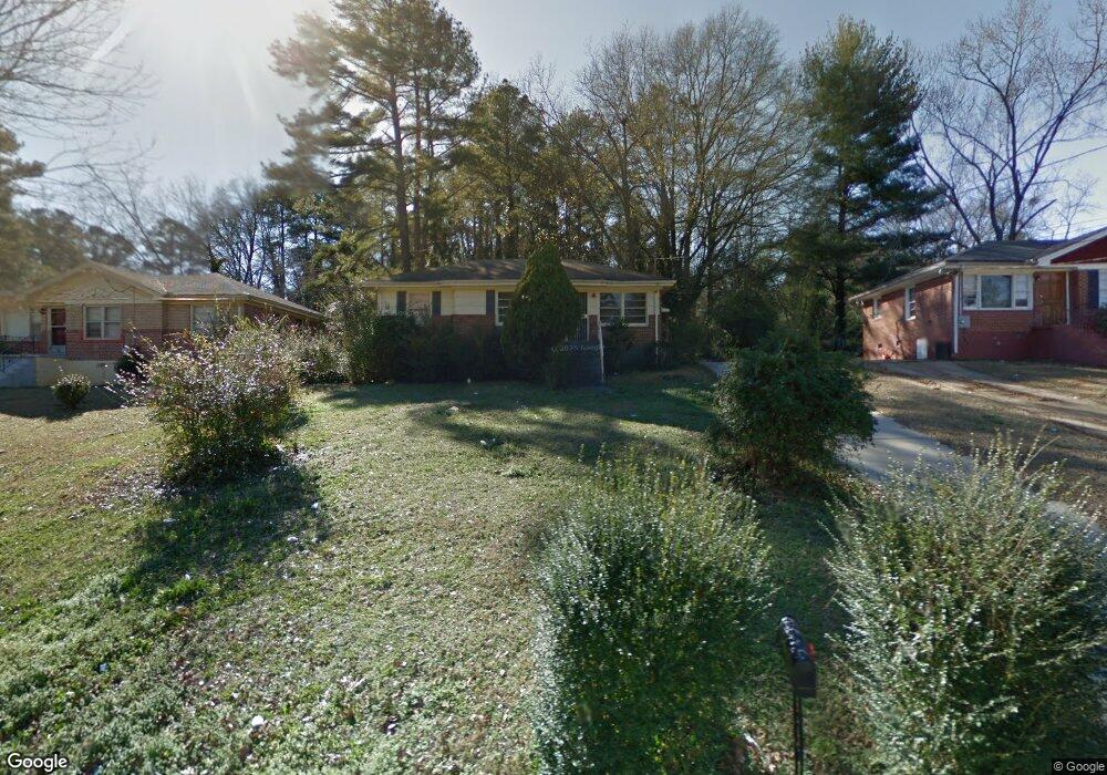
1973 Shamrock Dr Decatur, GA 30032
Estimated Value: $166,000 - $177,374
2
Beds
1
Bath
1,014
Sq Ft
$170/Sq Ft
Est. Value
About This Home
This home is located at 1973 Shamrock Dr, Decatur, GA 30032 and is currently estimated at $172,844, approximately $170 per square foot. 1973 Shamrock Dr is a home located in DeKalb County with nearby schools including Snapfinger Elementary School, Columbia Middle School, and Columbia High School.
Ownership History
Date
Name
Owned For
Owner Type
Purchase Details
Closed on
Sep 21, 2017
Sold by
Johnson James S
Bought by
Countryside South Inc
Current Estimated Value
Purchase Details
Closed on
Aug 4, 1998
Sold by
Brown Gene S
Bought by
Johnson James S
Create a Home Valuation Report for This Property
The Home Valuation Report is an in-depth analysis detailing your home's value as well as a comparison with similar homes in the area
Home Values in the Area
Average Home Value in this Area
Purchase History
| Date | Buyer | Sale Price | Title Company |
|---|---|---|---|
| Countryside South Inc | -- | -- | |
| Johnson James S | $57,500 | -- |
Source: Public Records
Mortgage History
| Date | Status | Borrower | Loan Amount |
|---|---|---|---|
| Closed | Johnson James S | -- |
Source: Public Records
Tax History Compared to Growth
Tax History
| Year | Tax Paid | Tax Assessment Tax Assessment Total Assessment is a certain percentage of the fair market value that is determined by local assessors to be the total taxable value of land and additions on the property. | Land | Improvement |
|---|---|---|---|---|
| 2025 | $3,284 | $64,720 | $24,594 | $40,126 |
| 2024 | $3,445 | $68,520 | $24,560 | $43,960 |
| 2023 | $3,445 | $59,880 | $24,560 | $35,320 |
| 2022 | $2,593 | $51,320 | $14,040 | $37,280 |
| 2021 | $2,300 | $44,640 | $14,040 | $30,600 |
| 2020 | $2,191 | $42,160 | $12,000 | $30,160 |
| 2019 | $2,102 | $40,120 | $12,000 | $28,120 |
| 2018 | $1,073 | $27,880 | $12,000 | $15,880 |
| 2017 | $1,145 | $18,240 | $3,200 | $15,040 |
| 2016 | $1,147 | $18,240 | $3,200 | $15,040 |
| 2014 | $582 | $5,320 | $2,280 | $3,040 |
Source: Public Records
Map
Nearby Homes
- 1986 Bandera Dr
- 1990 Shamrock Dr
- 2004 Shamrock Dr
- 3235 Mcafee Rd
- 3199 Mcafee Rd
- 3168 Mcafee Rd
- 1819 Rosewood Rd
- 1882 Rosewood Rd
- 1879 Rosewood Rd
- 1779 Rosewood Rd
- 1968 Rosewood Rd
- 1911 Rosewood Rd
- 1932 Rosewood Rd
- 3260 Glenco Dr
- 2024 Rosewood Rd
- 1884 Derrill Dr
- 1908 S Columbia Place
- 3297 Sheffield Cir
- 1923 Rosewood Rd
- 2003 Rosewood Rd
- 1979 Shamrock Dr
- 1967 Shamrock Dr
- 1985 Shamrock Dr
- 1912 Bandera Dr
- 1918 Bandera Dr
- 1980 Bandera Dr
- 1993 Shamrock Dr
- 1926 Bandera Dr
- 1974 Bandera Dr
- 1972 Shamrock Dr
- 1978 Shamrock Dr
- 1964 Shamrock Dr
- 1964 Shamrock Dr Unit 300
- 1984 Shamrock Dr
- 3222 Mcafee Rd
- 3216 Mcafee Rd
- 3228 Mcafee Rd
- 1958 Shamrock Dr
- 1932 Bandera Dr
- 3210 Mcafee Rd