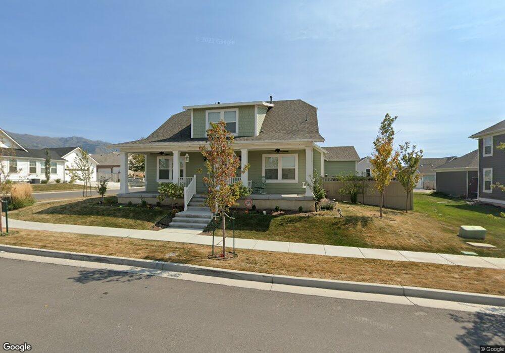
1973 W Orchard Harvest Dr Unit 203 Kaysville, UT 84037
West Kaysville NeighborhoodEstimated Value: $817,000 - $854,000
4
Beds
3
Baths
4,516
Sq Ft
$185/Sq Ft
Est. Value
About This Home
This home is located at 1973 W Orchard Harvest Dr Unit 203, Kaysville, UT 84037 and is currently estimated at $836,890, approximately $185 per square foot. 1973 W Orchard Harvest Dr Unit 203 is a home located in Davis County with nearby schools including Kay's Creek Elementary School, Shoreline Junior High School, and Davis High School.
Ownership History
Date
Name
Owned For
Owner Type
Purchase Details
Closed on
Mar 24, 2025
Sold by
White David Lynn
Bought by
White David Lynn and White Jennifer
Current Estimated Value
Purchase Details
Closed on
Aug 31, 2020
Sold by
White David
Bought by
White David Lynn
Home Financials for this Owner
Home Financials are based on the most recent Mortgage that was taken out on this home.
Original Mortgage
$251,500
Interest Rate
3%
Mortgage Type
New Conventional
Purchase Details
Closed on
May 17, 2016
Sold by
Destination Homes Inc
Bought by
White David
Create a Home Valuation Report for This Property
The Home Valuation Report is an in-depth analysis detailing your home's value as well as a comparison with similar homes in the area
Home Values in the Area
Average Home Value in this Area
Purchase History
| Date | Buyer | Sale Price | Title Company |
|---|---|---|---|
| White David Lynn | -- | Us Title | |
| White David Lynn | -- | Us Title | |
| White David Lynn | -- | Us Title Company Of U | |
| White David | -- | Stewart Title |
Source: Public Records
Mortgage History
| Date | Status | Borrower | Loan Amount |
|---|---|---|---|
| Previous Owner | White David Lynn | $251,500 |
Source: Public Records
Tax History Compared to Growth
Tax History
| Year | Tax Paid | Tax Assessment Tax Assessment Total Assessment is a certain percentage of the fair market value that is determined by local assessors to be the total taxable value of land and additions on the property. | Land | Improvement |
|---|---|---|---|---|
| 2025 | $3,807 | $420,200 | $165,144 | $255,056 |
| 2024 | $3,807 | $401,499 | $137,710 | $263,789 |
| 2023 | $3,856 | $720,000 | $261,631 | $458,369 |
| 2022 | $3,911 | $409,750 | $143,944 | $265,806 |
| 2021 | $3,541 | $556,000 | $155,491 | $400,509 |
| 2020 | $3,381 | $517,000 | $130,252 | $386,748 |
| 2019 | $3,317 | $498,000 | $142,017 | $355,983 |
| 2018 | $3,093 | $463,000 | $115,442 | $347,558 |
| 2016 | $1,084 | $85,255 | $85,255 | $0 |
Source: Public Records
Map
Nearby Homes
- 2056 W Phillips St
- 2095 W 200 N
- 34 S Preston St
- Brinton Signature Plan at Pintail Estates
- 37 S Preston St Unit 10
- 1845 W Sherri Ln
- 1071 Shoreline Dr
- 256 Seemore Dr
- 1042 W Shoreline Dr
- 71 S Harvs Ln
- 1873 W 75 S
- 774 W Farming Way
- 1910 W Bonneville Ln
- 51 N Hayfield Cir
- 1441 Bridgeview Dr
- 2234 Burkhill Place Unit 425
- 129 N Mountain Vistas Rd
- Spruce Pantry Plan at West Gate
- Ash Plan at West Gate
- Willow Plus Plan at West Gate
- 1985 W Orchard Harvest Dr
- 335 N Joseph Acres Rd
- 1957 W Orchard Harvest Dr
- 1997 W Orchard Harvest Dr Unit 201
- 1997 W Orchard Harvest Dr
- 322 N Angel St
- 1982 W Orchard Harvest Dr Unit 213
- 1982 W Orchard Harvest Dr
- 1970 W Orchard Harvest Dr Unit 212
- 1970 W Orchard Harvest Dr
- 1994 W Orchard Harvest Dr
- 319 N Joseph Acres Rd
- 290 N Angel St
- 1952 W Orchard Harvest Dr Unit 207
- 1945 W Orchard Harvest Dr
- 1945 W Orchard Harvest Dr Unit 205
- 330 N Joseph Acres Rd
- 308 N Angel St Unit 502
- 1613 N Angel St Unit 1
- 45 N Angel St