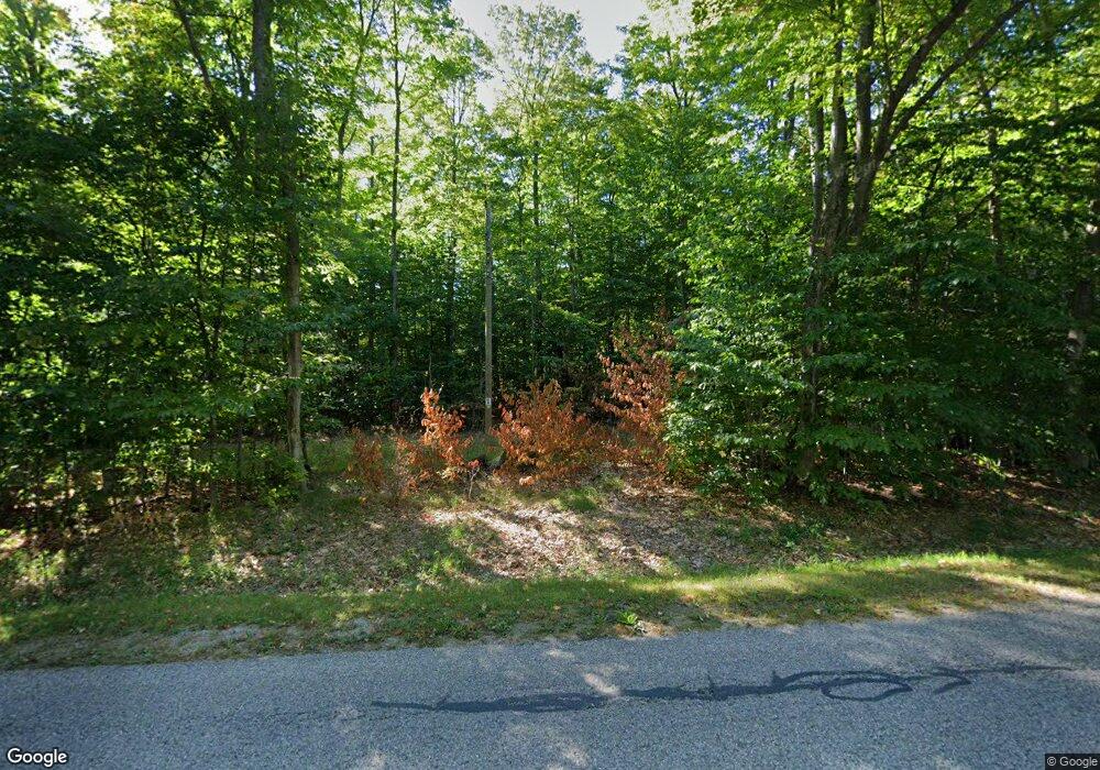
1973 W Van Rd Pellston, MI 49769
Estimated Value: $199,000 - $500,000
Studio
--
Bath
1,539
Sq Ft
$200/Sq Ft
Est. Value
About This Home
This home is located at 1973 W Van Rd, Pellston, MI 49769 and is currently estimated at $307,093, approximately $199 per square foot. 1973 W Van Rd is a home located in Emmet County with nearby schools including Pellston Elementary School and Pellston Middle/High School.
Ownership History
Date
Name
Owned For
Owner Type
Purchase Details
Closed on
Oct 23, 2013
Sold by
Poziemski Stanley E and Poziemski Elizabeth Ann
Bought by
Poziemski Stanley and Poziemski Elizabeth
Current Estimated Value
Purchase Details
Closed on
Jan 13, 2012
Sold by
Davis Timothy M and Davis Kendra C
Bought by
Poziemski Stanley E and Poziemski Elizabeth Ann
Purchase Details
Closed on
Apr 19, 2006
Sold by
Jordan Danny A and Jordan Constance
Bought by
Davis Timothy M and Davis Kendra C
Purchase Details
Closed on
May 1, 1992
Bought by
Jordan Rps
Purchase Details
Closed on
Jan 1, 1991
Sold by
Barton 570 Dn 10%Int
Bought by
Pierce Rps
Create a Home Valuation Report for This Property
The Home Valuation Report is an in-depth analysis detailing your home's value as well as a comparison with similar homes in the area
Purchase History
| Date | Buyer | Sale Price | Title Company |
|---|---|---|---|
| Poziemski Stanley | -- | -- | |
| Poziemski Stanley E | $125,000 | -- | |
| Davis Timothy M | $109,900 | -- | |
| Jordan Rps | $8,500 | -- | |
| Pierce Rps | $5,700 | -- |
Source: Public Records
Tax History
| Year | Tax Paid | Tax Assessment Tax Assessment Total Assessment is a certain percentage of the fair market value that is determined by local assessors to be the total taxable value of land and additions on the property. | Land | Improvement |
|---|---|---|---|---|
| 2025 | $2,885 | $147,000 | $0 | $147,000 |
| 2024 | $21 | $142,900 | $0 | $142,900 |
| 2023 | $2,669 | $134,100 | $0 | $134,100 |
| 2022 | $2,669 | $106,200 | $0 | $106,200 |
| 2021 | $2,726 | $96,500 | $0 | $96,500 |
| 2020 | $2,724 | $88,100 | $0 | $88,100 |
| 2019 | -- | $76,300 | $24,800 | $51,500 |
| 2018 | -- | $72,400 | $24,800 | $47,600 |
| 2017 | -- | $69,900 | $24,800 | $45,100 |
| 2016 | -- | $66,500 | $24,800 | $41,700 |
| 2015 | -- | $59,600 | $0 | $0 |
| 2014 | -- | $55,300 | $0 | $0 |
Source: Public Records
Map
Nearby Homes
- 3833 Valley Rd
- 0000 #2 Summit St
- 0000 #3 Summit St
- 2210 Black Rock Unit 42
- 0000 #1 Summit St
- TBD Sturgeon Bay Dr
- 5134 Alpine Overpass Unit 775
- TBD Wintergreen Dr
- TBD Sturgeon Bay Dr Unit 26
- 899 S State Rd
- 000 Robinson Rd Unit 1
- 8439 Sturgeon Bay Dr Unit Lot 61
- 2171 Sanctuary Dr
- 2194 N Blackrock Way Unit 43
- 3645 Sturgeon Bay Shores Trail
- TBD Teal Rd
- Lot 2 True Dr N
- TBD W Stutsmanville Rd
- 125 W Lakeview Rd
- 872 Aronimink Dr Unit Lot 8
- 1939 W Van Rd
- 1845 W Van Rd
- 1968 W Van Rd
- 1793 W Van Rd
- 2101 W Van Rd
- 1806 W Van Rd
- 1712 W Van Rd
- 3385 Saint Nickolas Rd
- 2317 W Van Rd
- 1705 W Van Rd
- 2324 W Van Rd
- 3495 Larks Lake Rd
- 3311 Larks Lake Rd
- 3403 Larks Lake Rd
- 1501 W Van Rd
- 3376 Larks Lake Rd
- 3424 Larks Lake Rd
- 2515 W Van Rd
- 2554 W Van Rd
- 1491 W Van Rd
Your Personal Tour Guide
Ask me questions while you tour the home.
