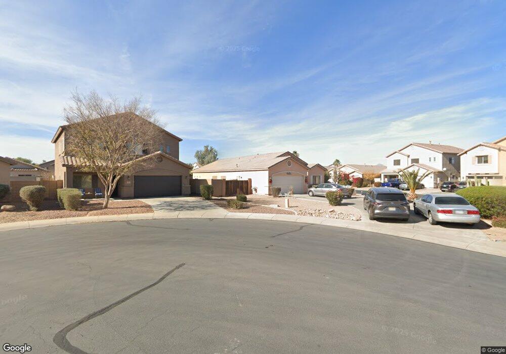
19734 N Emmerson Cir Maricopa, AZ 85138
Rancho El Dorado NeighborhoodEstimated Value: $321,797 - $349,000
3
Beds
2
Baths
1,580
Sq Ft
$215/Sq Ft
Est. Value
About This Home
This home is located at 19734 N Emmerson Cir, Maricopa, AZ 85138 and is currently estimated at $340,449, approximately $215 per square foot. 19734 N Emmerson Cir is a home located in Pinal County with nearby schools including Butterfield Elementary School, Maricopa High School, and Maricopa Wells Middle School.
Ownership History
Date
Name
Owned For
Owner Type
Purchase Details
Closed on
Oct 11, 2022
Sold by
Joseph Marsha Jean
Bought by
Joseph Jean L
Current Estimated Value
Purchase Details
Closed on
Jun 24, 2020
Sold by
Joseph Jean L
Bought by
Joseph Marsha Jean
Purchase Details
Closed on
Oct 24, 2011
Sold by
Duport Douglas S and Evans Harmony C
Bought by
Joseph Jean L
Purchase Details
Closed on
Dec 1, 2004
Sold by
Ryland Homes Of Arizona Inc
Bought by
Duport Douglas S and Evans Harmony C
Home Financials for this Owner
Home Financials are based on the most recent Mortgage that was taken out on this home.
Original Mortgage
$132,300
Interest Rate
5.74%
Mortgage Type
New Conventional
Create a Home Valuation Report for This Property
The Home Valuation Report is an in-depth analysis detailing your home's value as well as a comparison with similar homes in the area
Home Values in the Area
Average Home Value in this Area
Purchase History
| Date | Buyer | Sale Price | Title Company |
|---|---|---|---|
| Joseph Jean L | -- | Professional Escrow Resources | |
| Joseph Marsha Jean | -- | None Available | |
| Joseph Jean L | $85,000 | Security Title Agency | |
| Duport Douglas S | $165,429 | -- | |
| Ryland Homes Of Arizona Inc | $165,429 | -- |
Source: Public Records
Mortgage History
| Date | Status | Borrower | Loan Amount |
|---|---|---|---|
| Previous Owner | Duport Douglas S | $132,300 | |
| Closed | Duport Douglas S | $33,050 |
Source: Public Records
Tax History Compared to Growth
Tax History
| Year | Tax Paid | Tax Assessment Tax Assessment Total Assessment is a certain percentage of the fair market value that is determined by local assessors to be the total taxable value of land and additions on the property. | Land | Improvement |
|---|---|---|---|---|
| 2025 | $2,181 | $29,138 | -- | -- |
| 2024 | $2,195 | $36,518 | -- | -- |
| 2023 | $2,203 | $26,064 | $6,273 | $19,791 |
| 2022 | $2,149 | $19,416 | $4,182 | $15,234 |
| 2021 | $2,195 | $18,137 | $0 | $0 |
| 2020 | $2,099 | $15,149 | $0 | $0 |
| 2019 | $1,943 | $14,087 | $0 | $0 |
| 2018 | $1,905 | $13,242 | $0 | $0 |
| 2017 | $1,861 | $13,413 | $0 | $0 |
| 2016 | $1,701 | $13,746 | $1,250 | $12,496 |
| 2014 | $1,633 | $7,432 | $1,000 | $6,432 |
Source: Public Records
Map
Nearby Homes
- 44014 W Mccord Dr
- 19667 N Marquez Cir
- 44014 W Magnolia Rd
- 43999 W Magnolia Rd
- 19969 N Santa Cruz Dr
- 43906 W Mcclelland Dr
- 43760 W Magnolia Rd
- 44355 W Oster Dr
- 44175 W Knauss Dr
- 19776 N Harris Dr
- 19707 N Pepka Ct
- 19720 N Pepka Ct
- 44344 W Knauss Dr
- 20200 N Donithan Way
- 44340 W Caven Dr
- 44510 W Mercado St Unit 3
- 44395 W Bailey Dr
- 43851 W Griffis Dr
- 43845 W Elizabeth Ave
- 43941 W Griffis Dr
- 19716 N Emmerson Cir
- 19702 N Emmerson Cir
- 19719 N Ortman Cir
- 19705 N Ortman Cir
- 19693 N Ortman Cir
- 44026 W Mccord Dr
- 44038 W Mccord Dr
- 44052 W Mccord Dr
- 44006 W Mccord Dr
- 43994 W Mccord Dr
- 44066 W Mccord Dr
- 19731 N Emmerson Cir
- 19671 N Ortman Cir
- 19711 N Emmerson Cir
- 44080 W Mccord Dr
- 19697 N Emmerson Cir
- 19761 N Emmerson Dr
- 44063 W Neely Dr
- 44049 W Neely Dr
- 44035 W Neely Dr